

 Walking
Distance20.87 km
Duration6h 47m
Elevation↑1178 mMin. 277 m · Max. 1312 m
DifficultyHard
TypeCircular
ProfileElevation
500 m
750 m
1000 m
01About the route
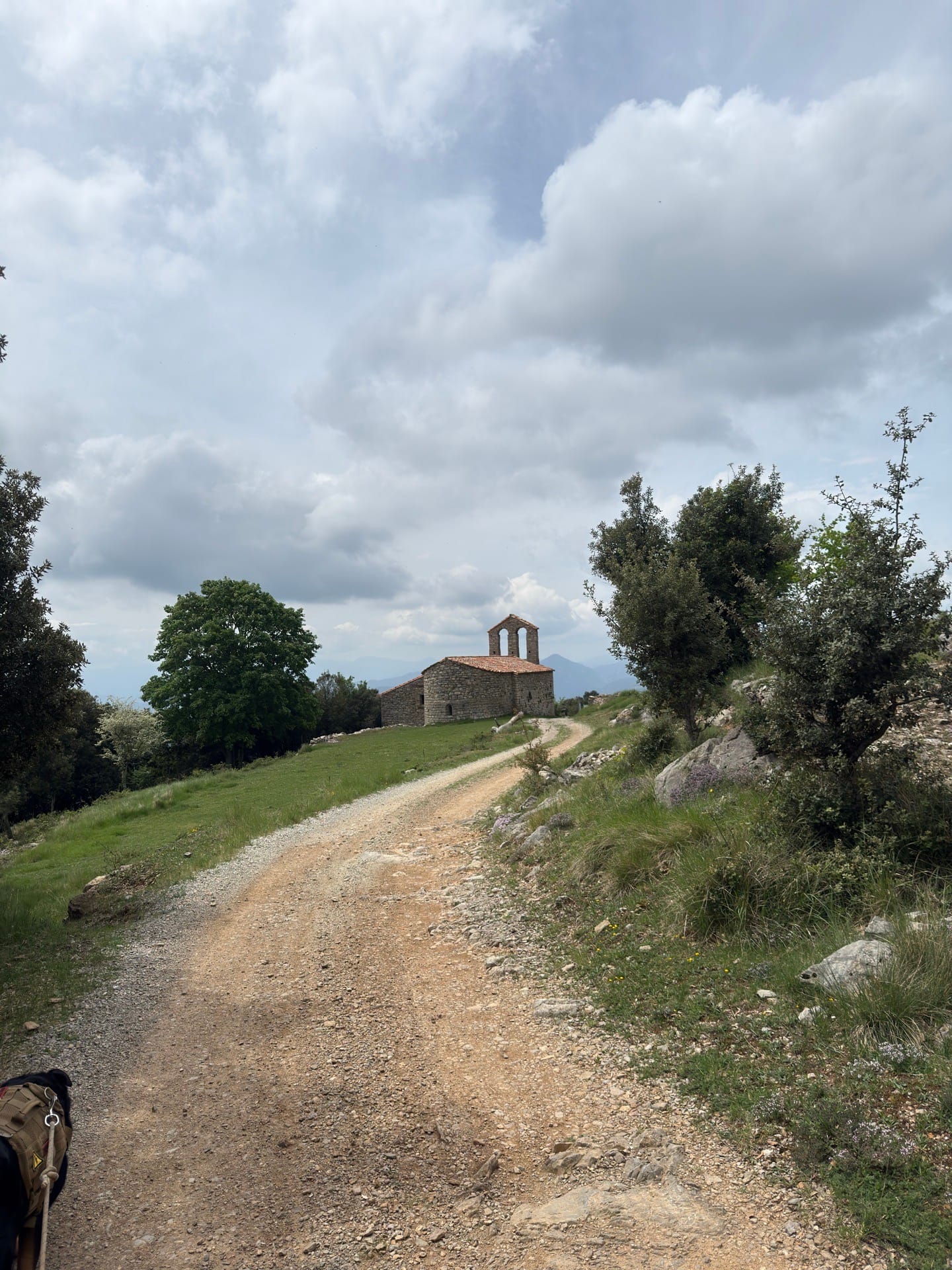
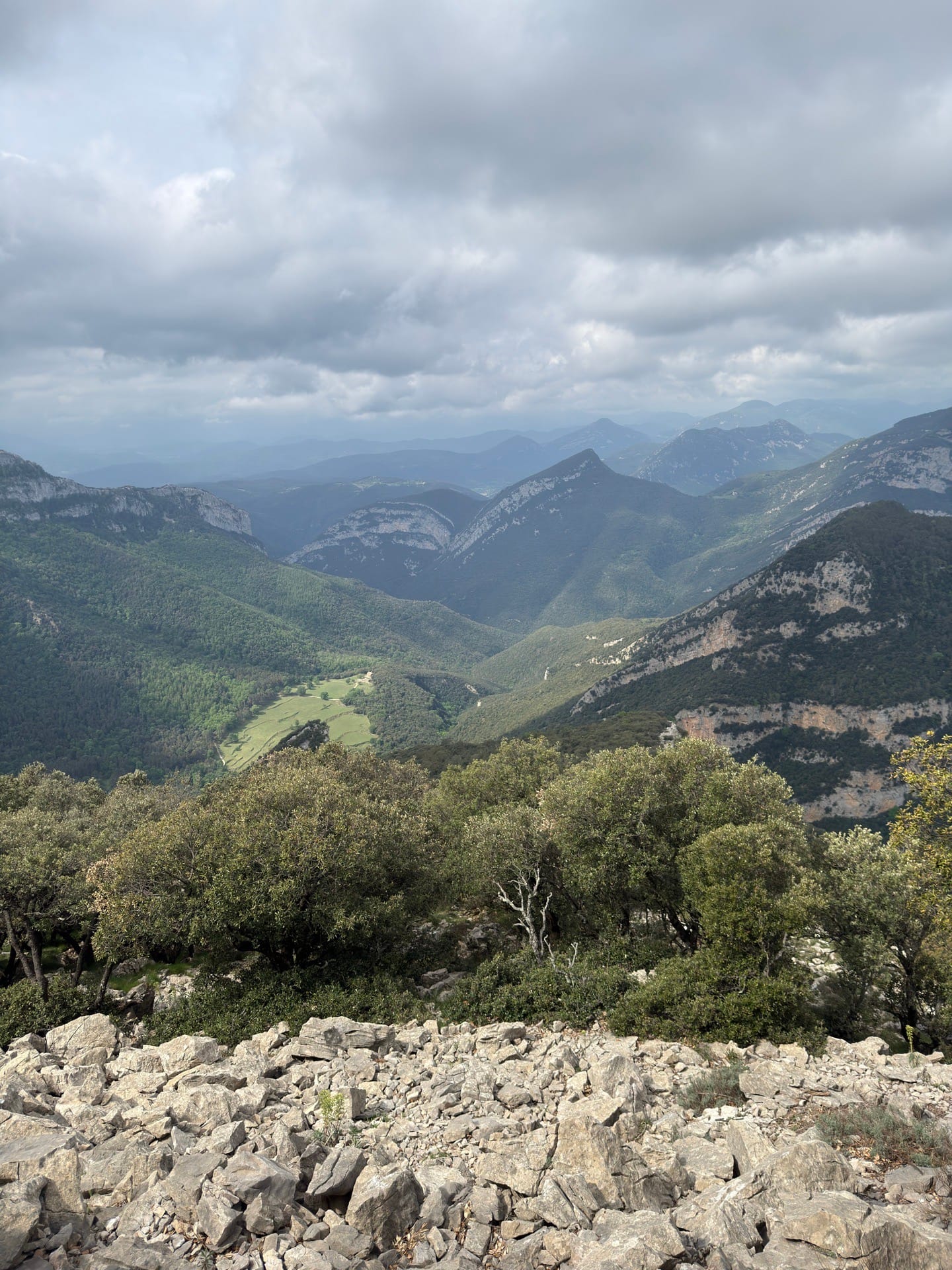
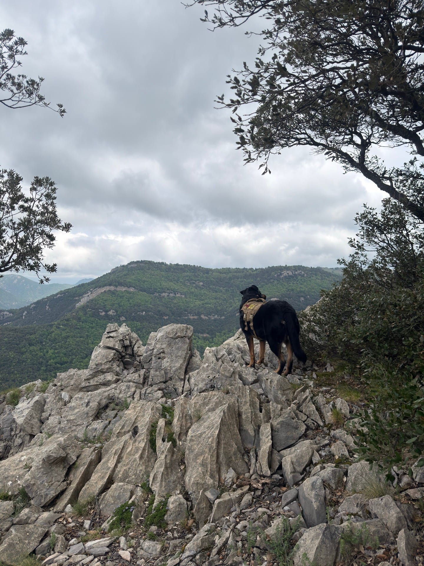
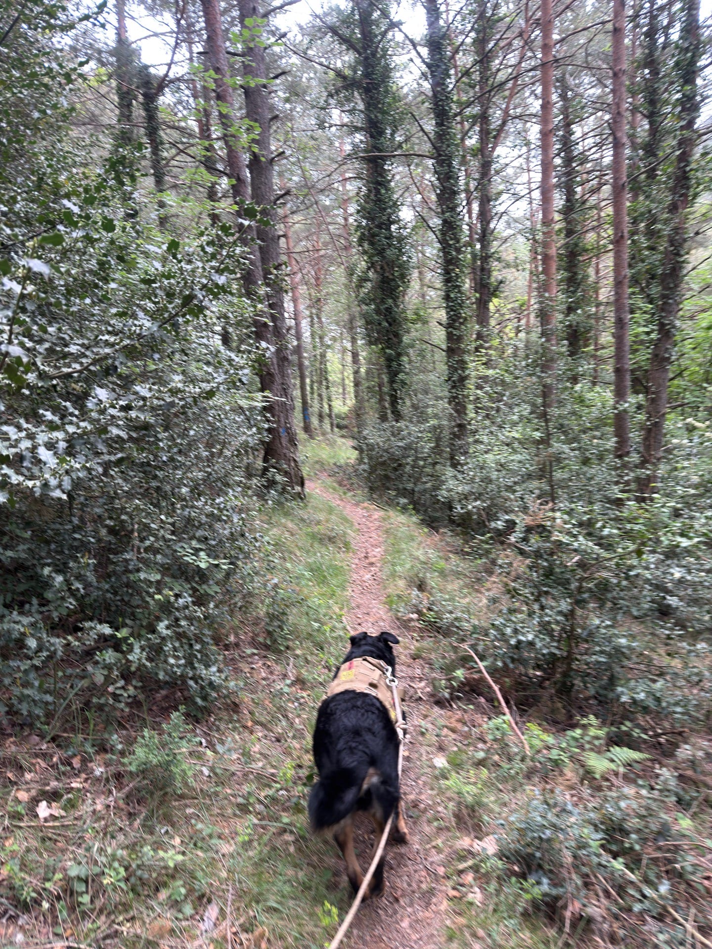
A circular route from Sadernes to Bassegoda and back, though it's entirely feasible to do an out-and-back hike along the same path.
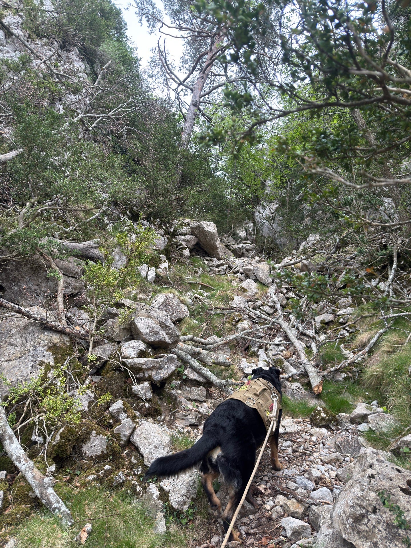
It's a beautiful but demanding route, and I recommend starting early. There are some difficult sections, both physically and mentally. Be very careful on the scree slope descending from Bassegoda; it's very treacherous. The app crashed on my own, and I lost some movement time, but it's an approximation of the total time.
Published on 1 May 2026
02Gallery · 10 photos
+5View gallery