 Hiking
Distance13 km
Duration5h 54m
Elevation↑810 mMin. 1951 m · Max. 2572 m
DifficultyEasy
TypeCircular
ProfileElevation
01About the route
climb to Balandrau, from the track that connects Tregurà with Pardines
Published on 11 October 2026


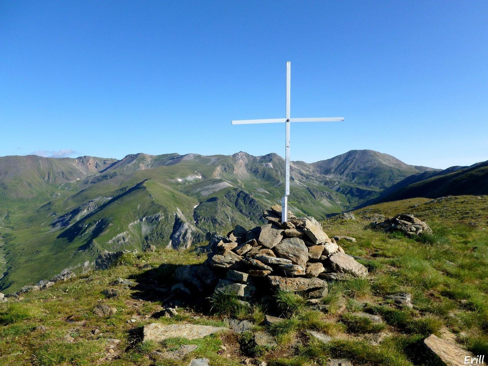
climb to Balandrau, from the track that connects Tregurà with Pardines
Published on 11 October 2026