

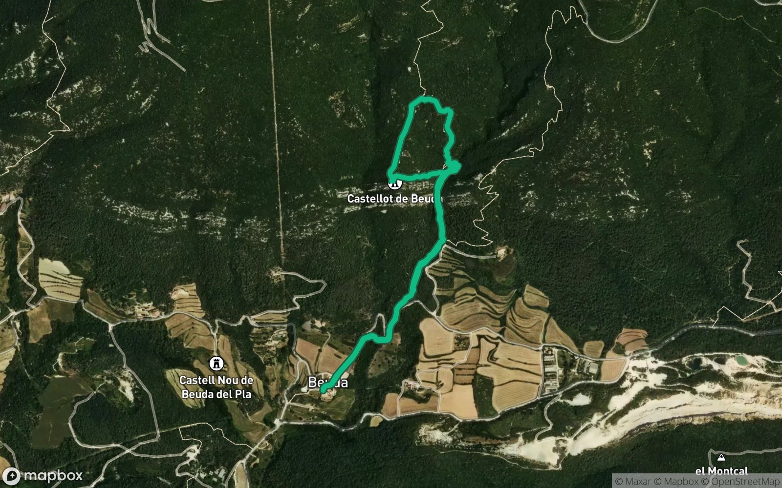
 Hiking
Distance3.56 km
Duration2 h 6 min
Elevation↑355 mMin. 323 m · Max. 582 m
DifficultyModerate
TypeCircular
ProfileElevation
01About the route
A short but characterful route from Beuda to El Castellot, an old fortification perched on top of a hill.
The route combines forest trails, small streams and an intense final climb up to the castle ruins, from where you can enjoy a peaceful setting full of history. An ideal option for discovering one of the most unique medieval corners of the Garrotxa.
Published on 14 September 2026