

 MTB
Distance36 km
Duration4h 30m
Elevation↑1240 mMin. 1026 m · Max. 1739 m
DifficultyHard
TypeCircular
ProfileElevation
01About the route
Demanding route with more than 1,000 m of elevation gain from Ger to Meranges, the highest municipal capital in Catalunya, with a technical descent and trails along the riu Duran.
The finish is a 1 km wall before Olopte.
Fotos: Jaume Meneses (CC BY-SA 2.0), Vriullop (CC BY-SA 3.0), MdelPino (CC BY-SA 4.0), Ángel M. Felicísimo from Mérida, España (CC BY 2.0).
Published on 23 October 2026
02Gallery · 7 photos
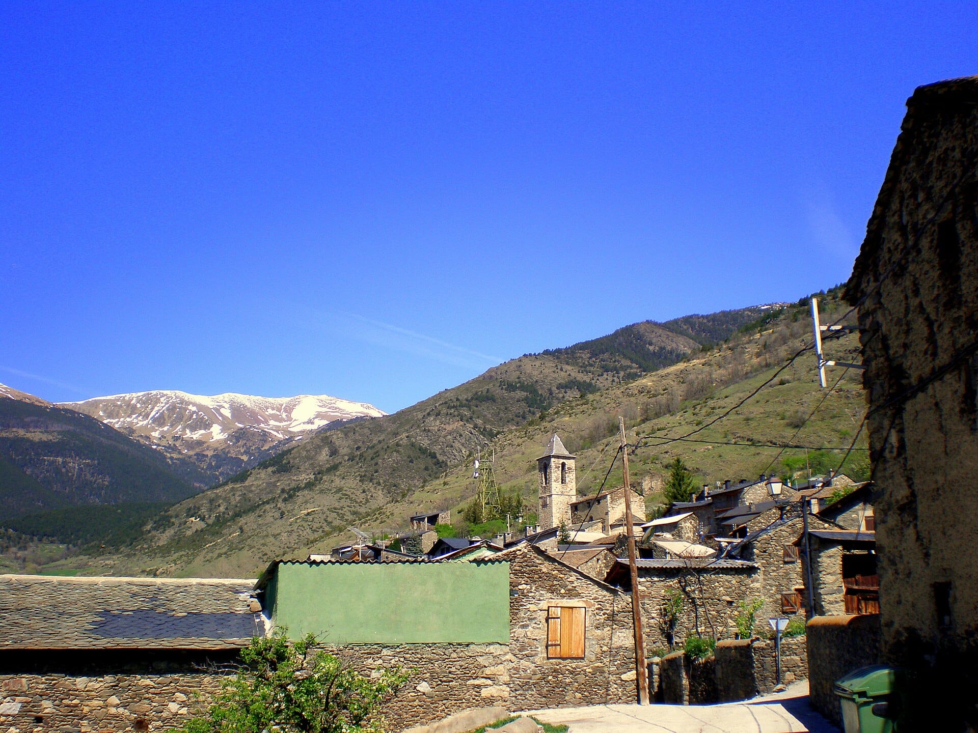
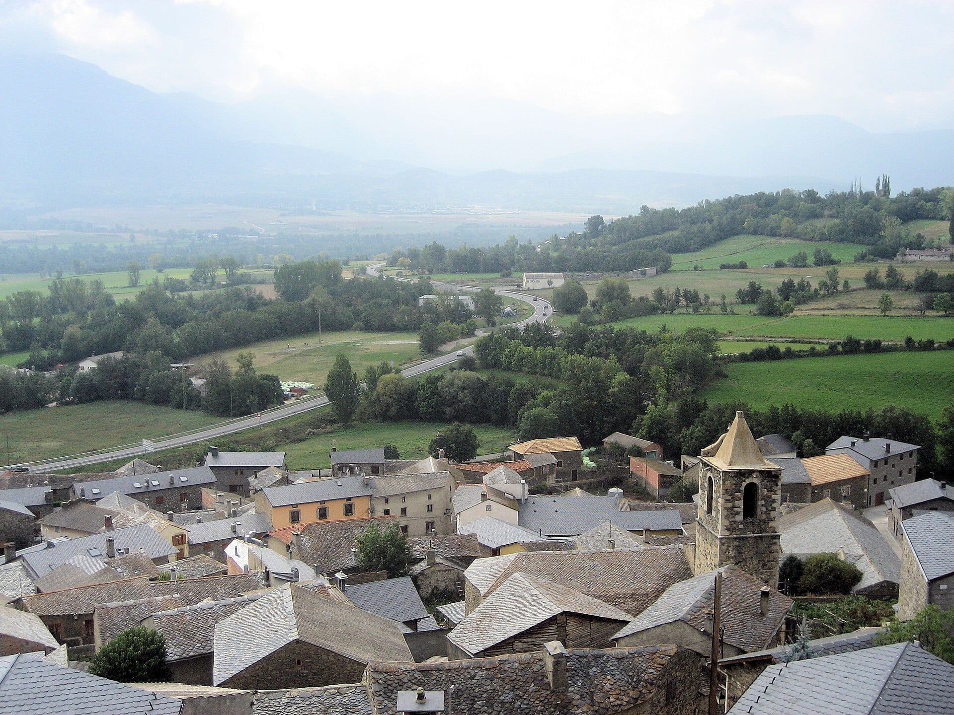 Waypoint · Ger
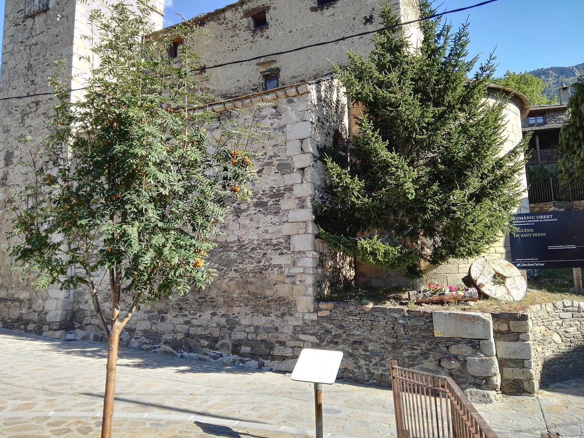 Waypoint · Meranges
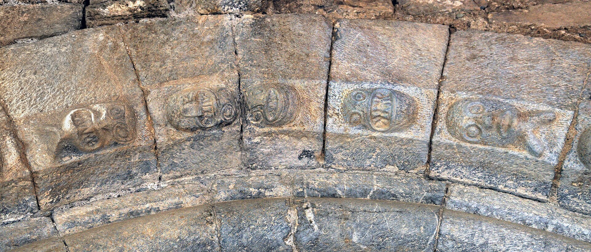 Waypoint · Olopte
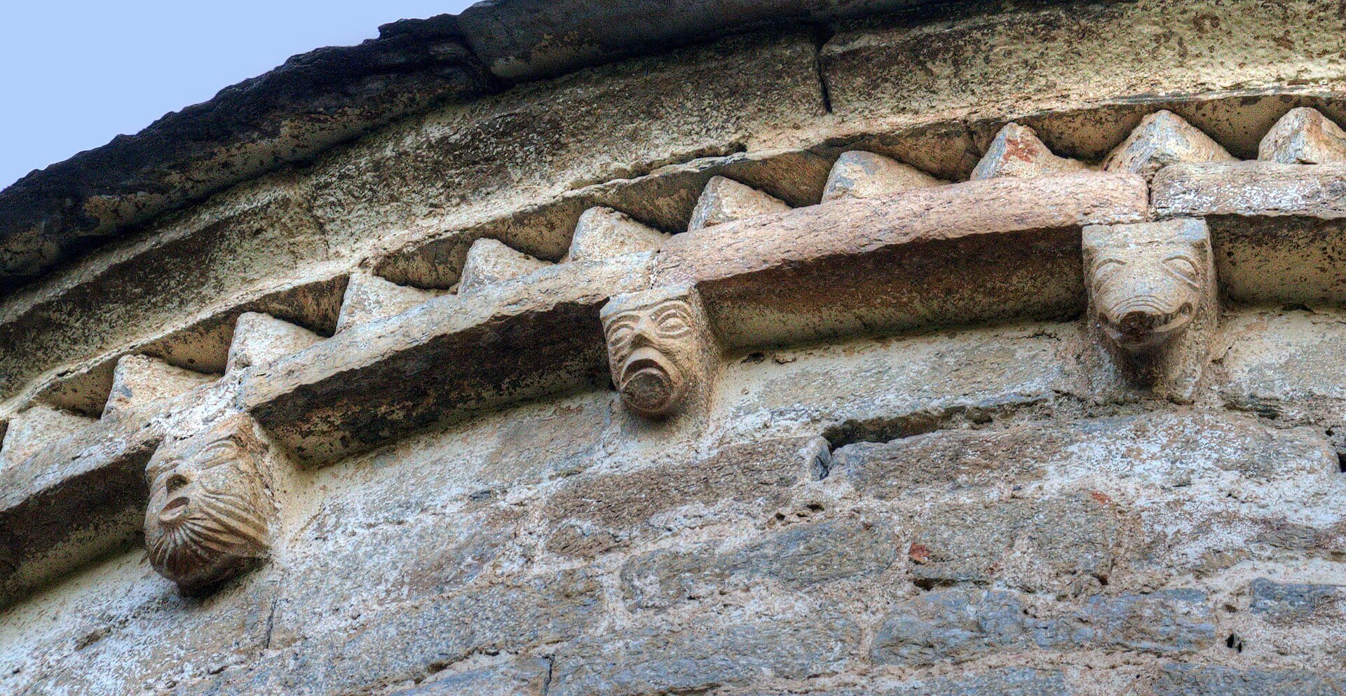 Waypoint · Olopte
+2View gallery