

 MTB
Distance29.20 km
Duration2h 44m
Elevation↑557 mMin. 24 m · Max. 309 m
DifficultyModerate
TypeRound trip
ProfileElevation
01About the route
Circular route of 29.2 km and 560 m of positive elevation gain through Pau, Vilajuïga and Garriguella.
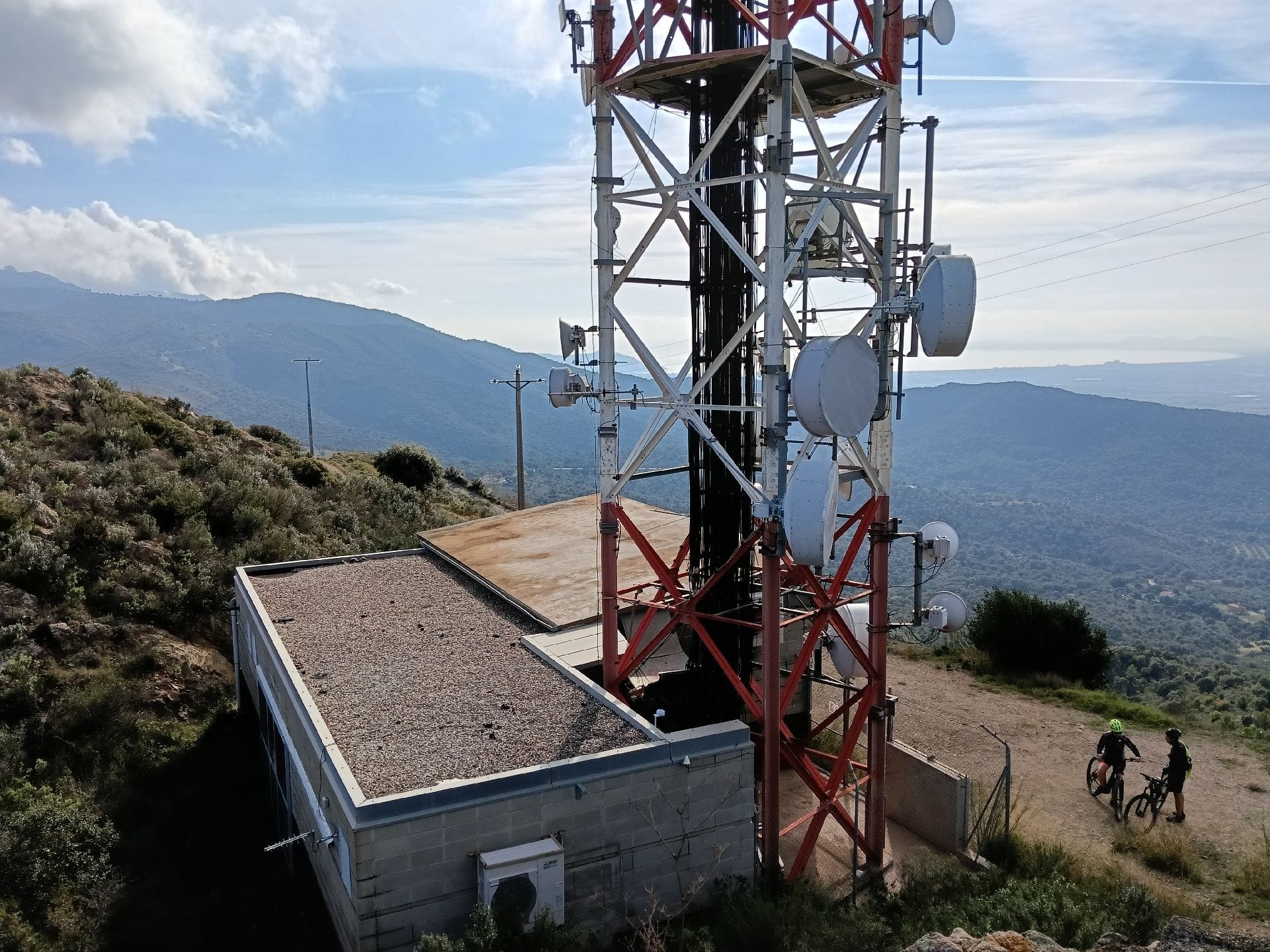
It climbs to Turó de la Roca Ventosa (241 m) and passes at the foot of Montperdut (327 m) and Puig Castellar (106 m). There is a fountain along the way. ZeroSignal corners on the route: Dolmen de la Barraca d'en Rabert, Búnquers de la carretera de Portbou (Line P) and Castell de Quermançó.
Published on 7 November 2026