

 Hiking
Distance4.7 km
Duration1h 50m
Elevation↑187 ↓170 mMin. 2 m · Max. 48 m
DifficultyModerate
TypeOne way
ProfileElevation
01About the route
Stretch of the camino de ronda by Itinerànnia along a narrow path at water level, between cliffs and pine forest, linking the coves of Montjoi, Rostella, Murtra and Lledó as far as Punta Falconera and the Punta de l'Almadrava.
It can be extended by 3.1 km of flat terrain to the Roses lighthouse.
Photos: Alberto-g-rovi (CC BY 3.0), Alan Mattingly (CC0), Charles Haynes from Sydney, Australia (CC BY-SA 2.0), Raul P (CC BY-SA 3.0), Alan Mattingly (CC0 / public domain), PaliGol (CC BY-SA 4.0), EliziR (CC BY-SA 3.0), Pierre Pericard (CC BY-SA 3.0).
Published on 22 October 2026
02Gallery · 10 photos
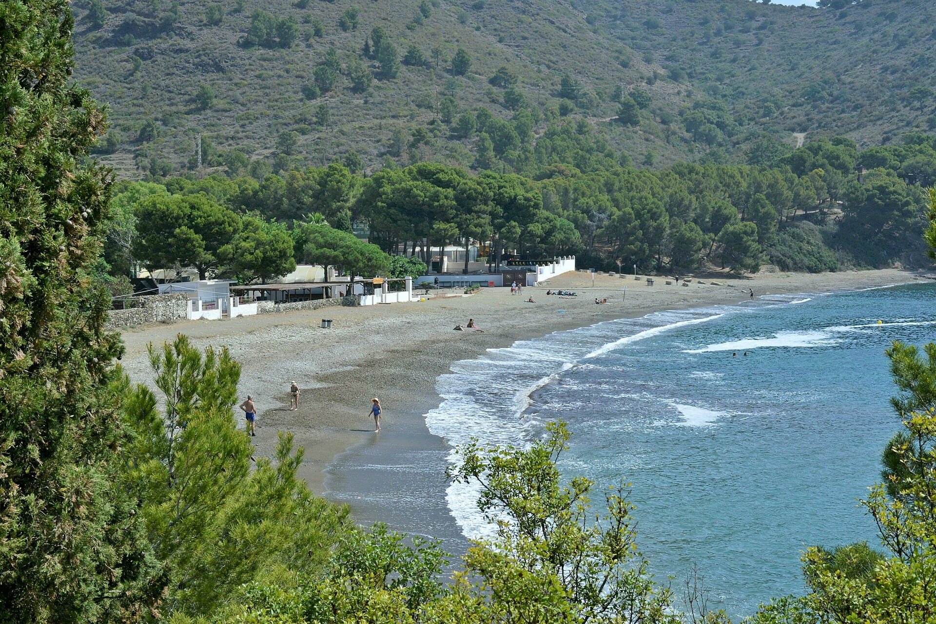
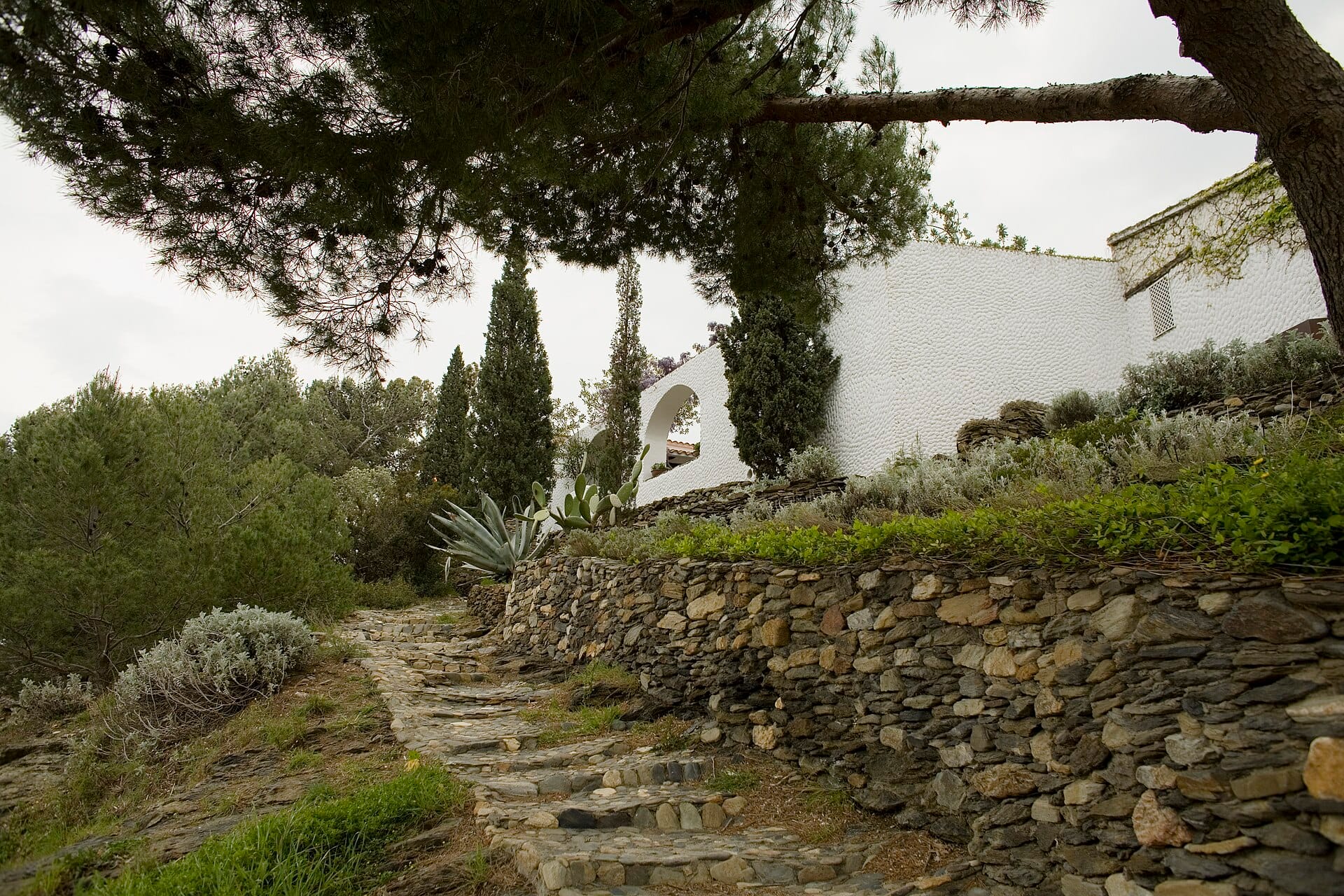 Waypoint · Salida: Cala Montjoi
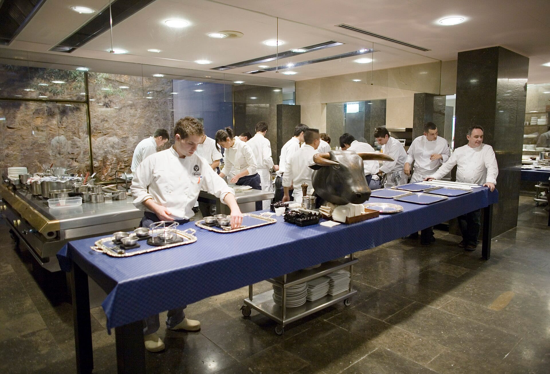 Waypoint · Salida: Cala Montjoi
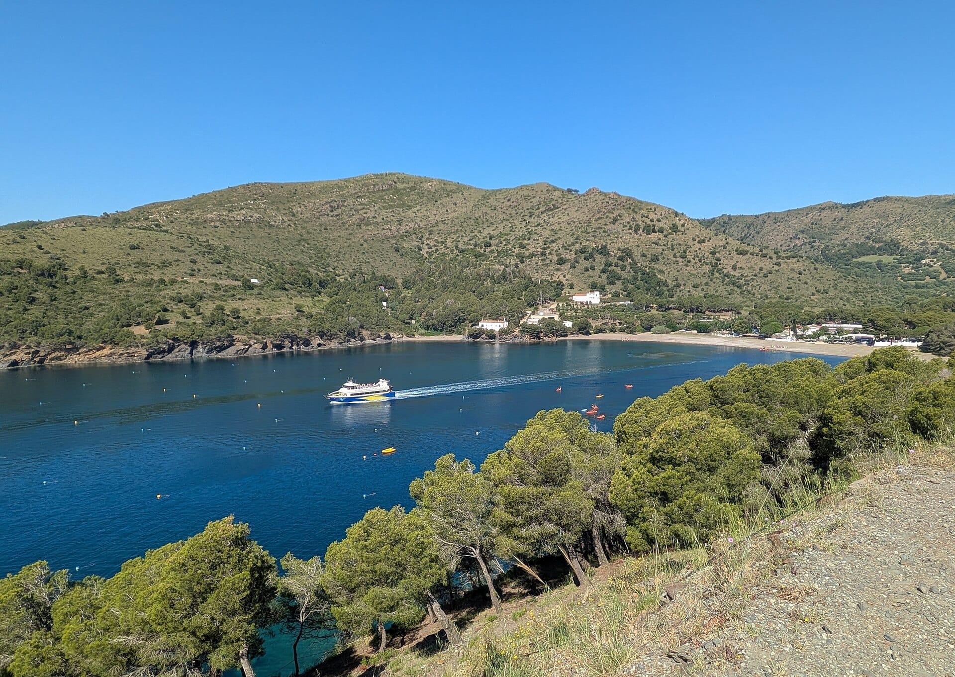 Waypoint · Salida: Cala Montjoi
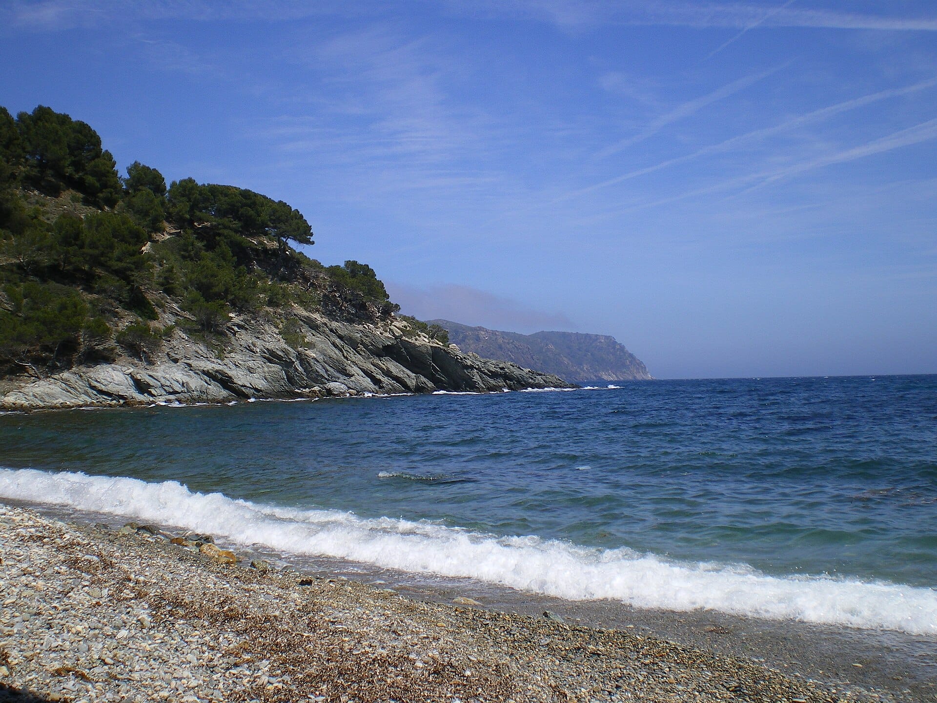 Waypoint · Cala Rostella
+5View gallery