

 Walking
Distance4.8 km
Duration1h 05m
Elevation↑249 mMin. 389 m · Max. 436 m
DifficultyModerate
TypeRound trip
ProfileElevation
01About the route
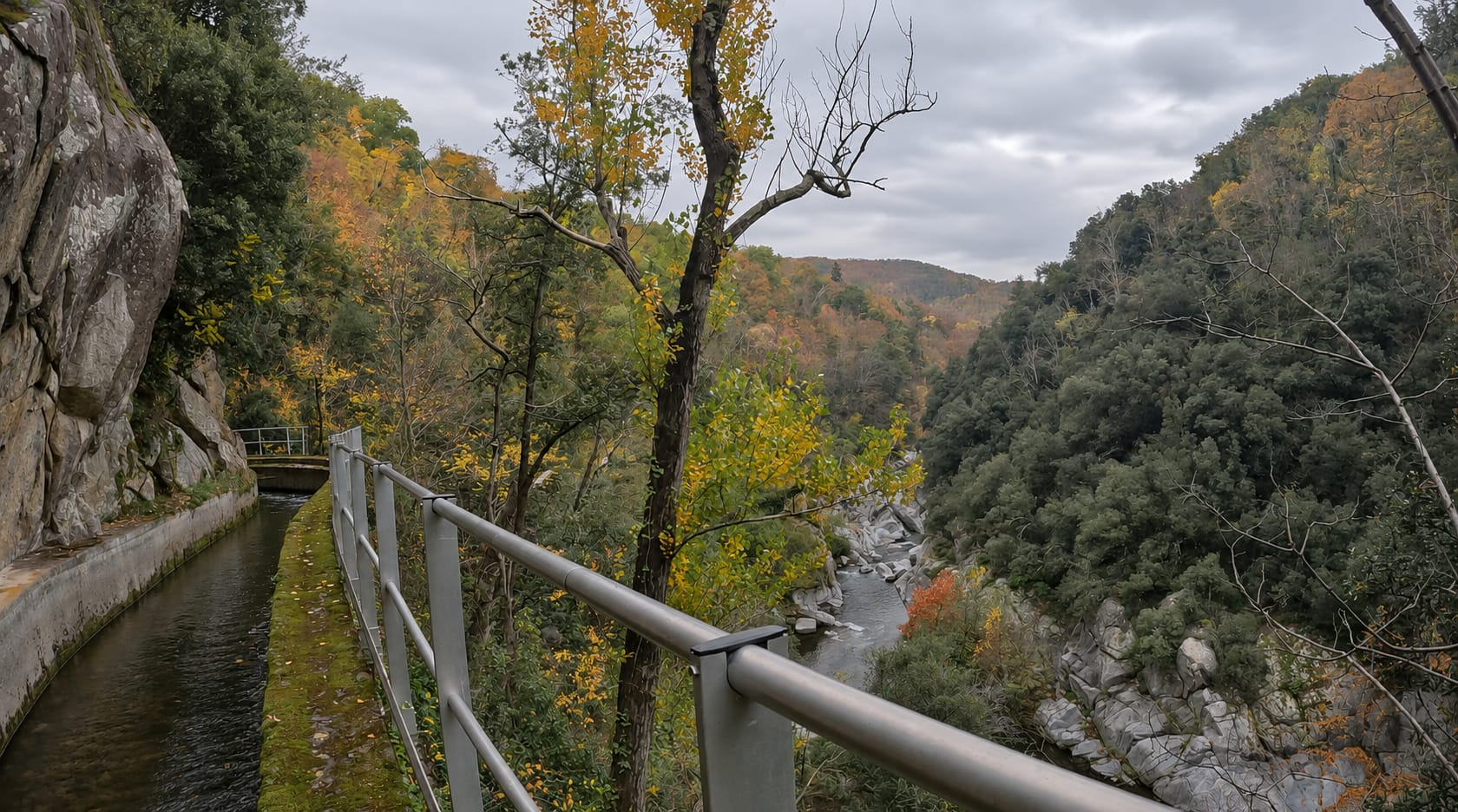
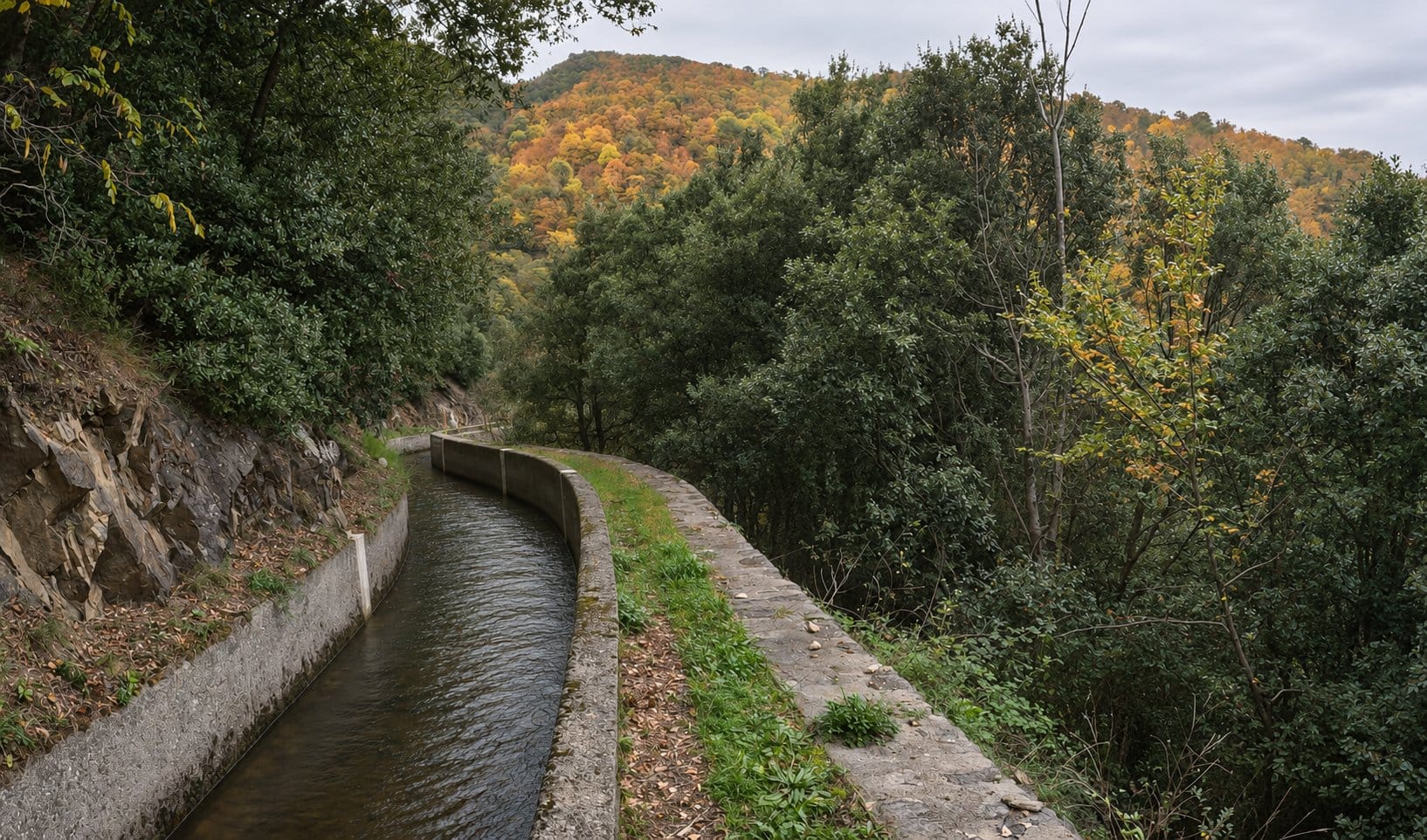
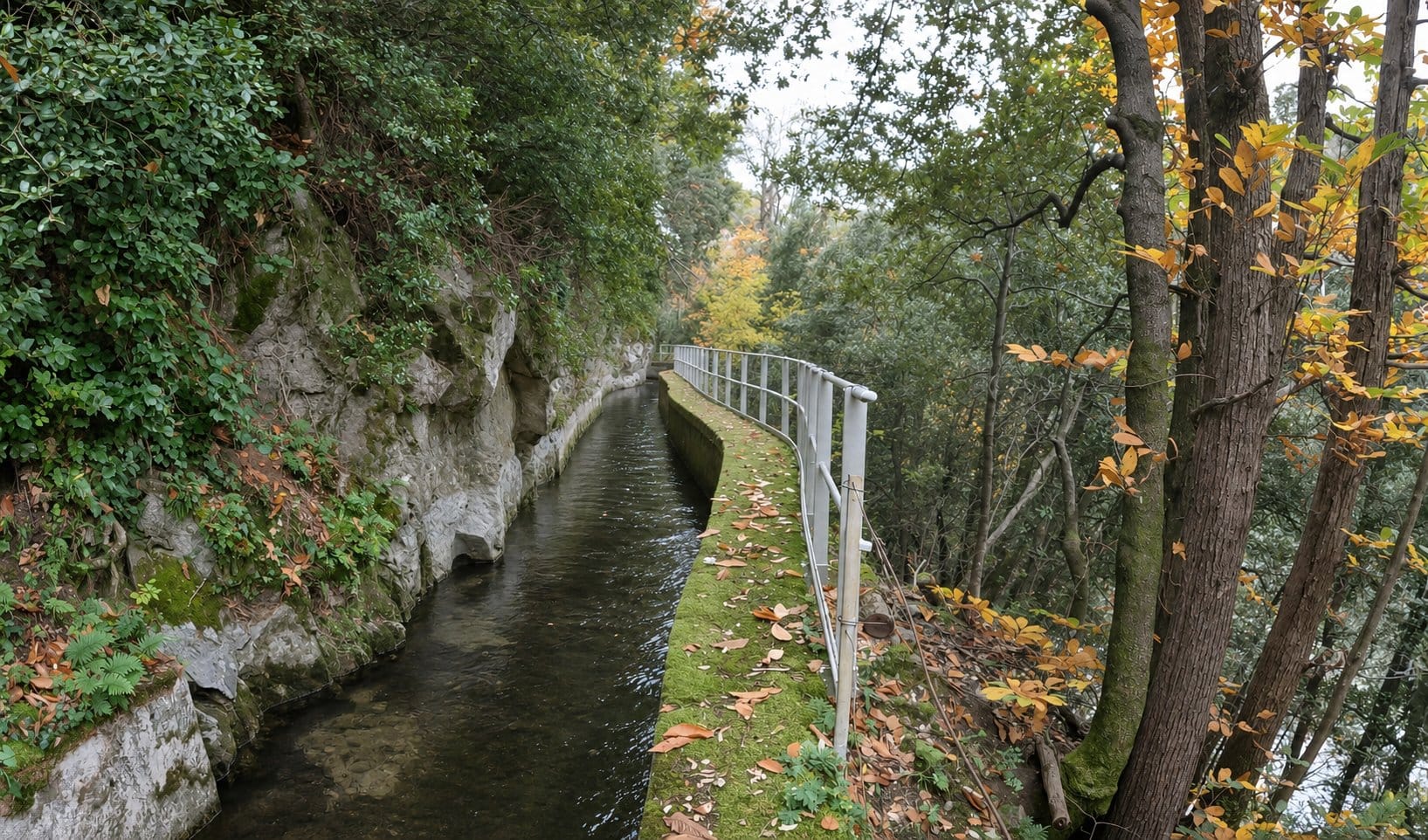
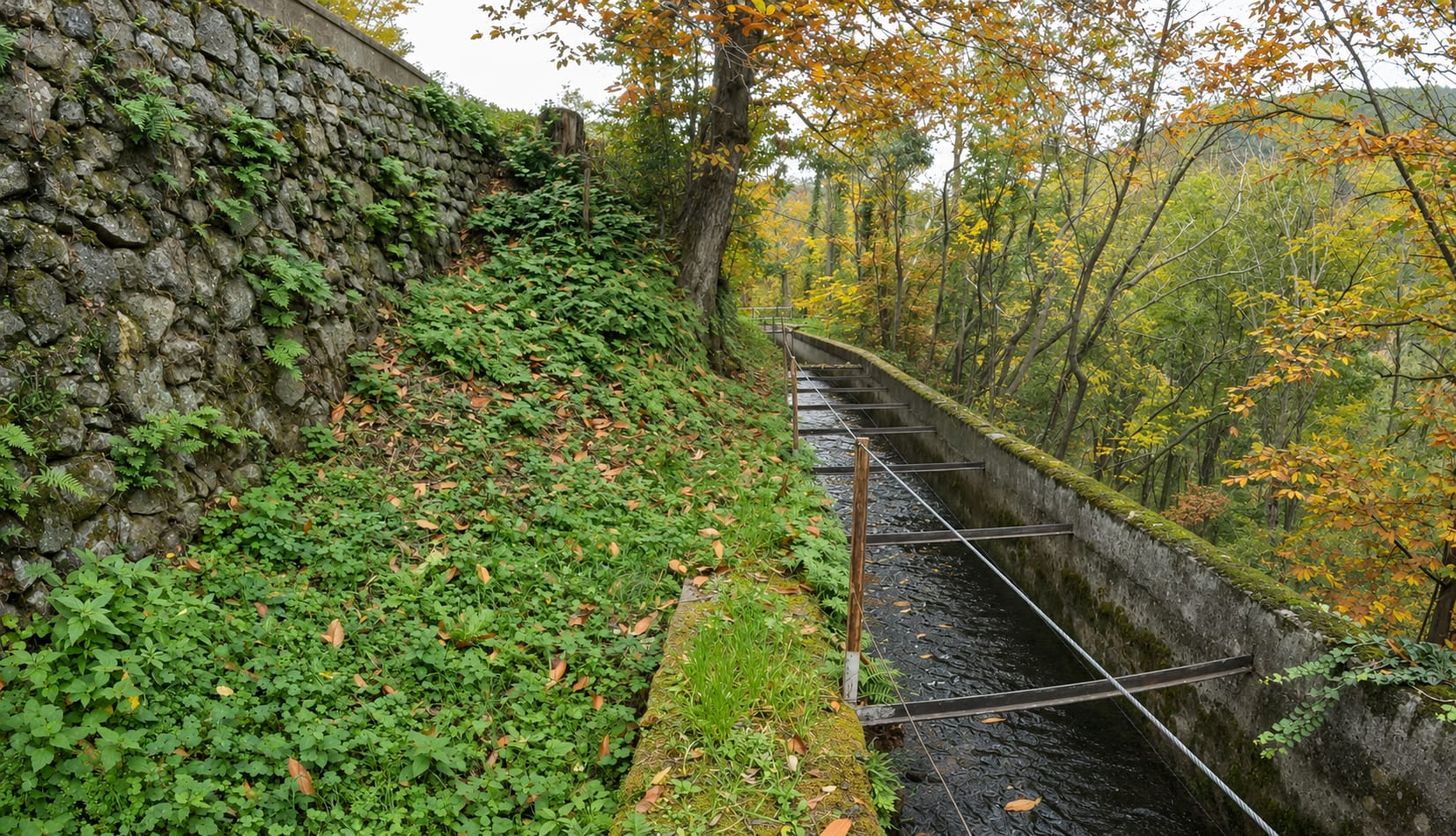
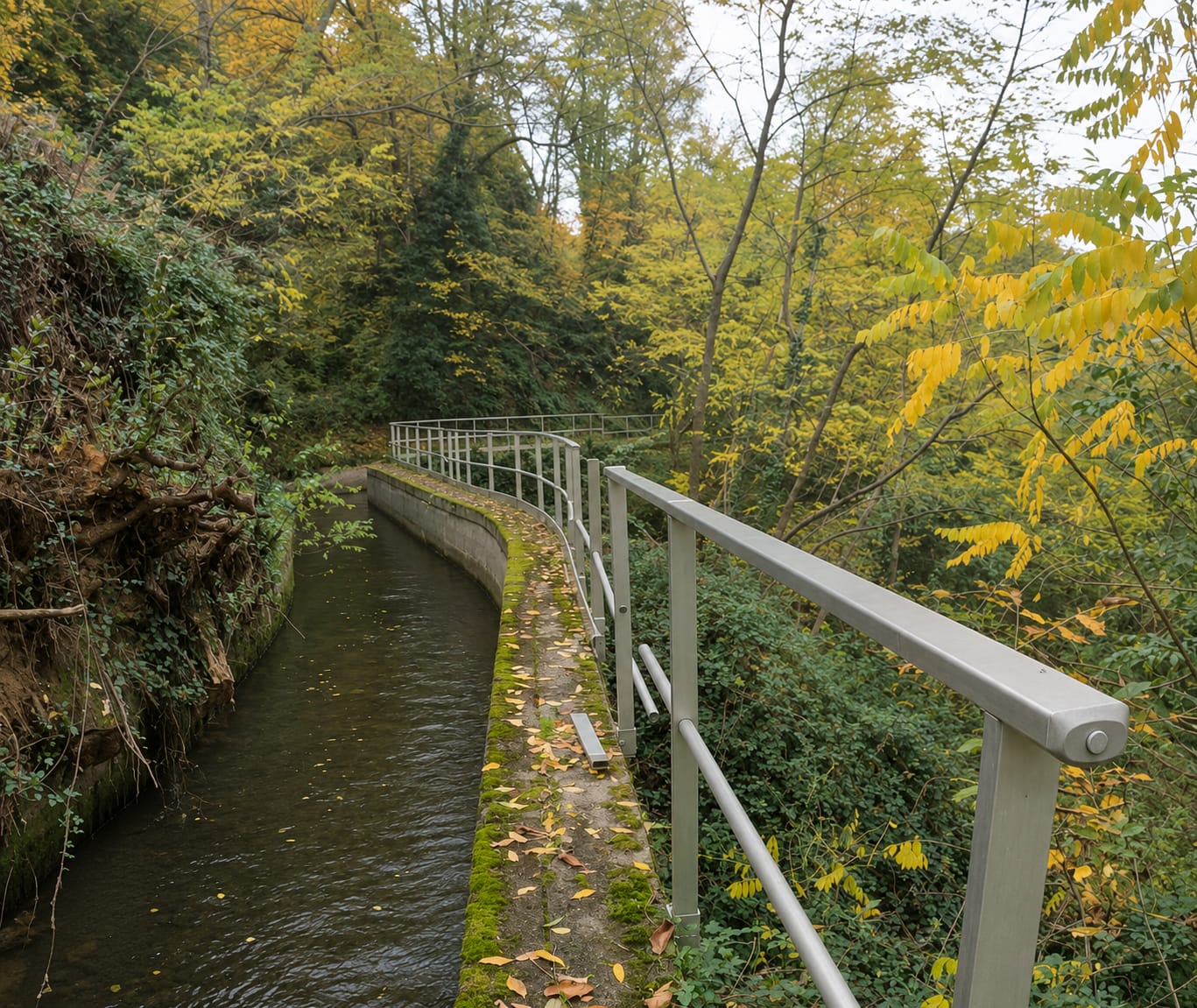
A very fun and beautiful route following the hydroelectric power station canal, from the start of the river diversion to the pipe that goes to the power station.
Some points require a bit of balance.
Out-and-back route of 4.8 km with 60 m of positive elevation gain through Arles-sur-Tech and Saint-Laurent-de-Cerdans.
Published on 14 November 2026
02Gallery · 10 photos
+5View gallery