

 Hiking
Distance7.3 km
Duration4h 25m
Elevation↑988 ↓231 mMin. 1206 m · Max. 1994 m
DifficultyHard
TypeOne way
ProfileElevation
01About the route
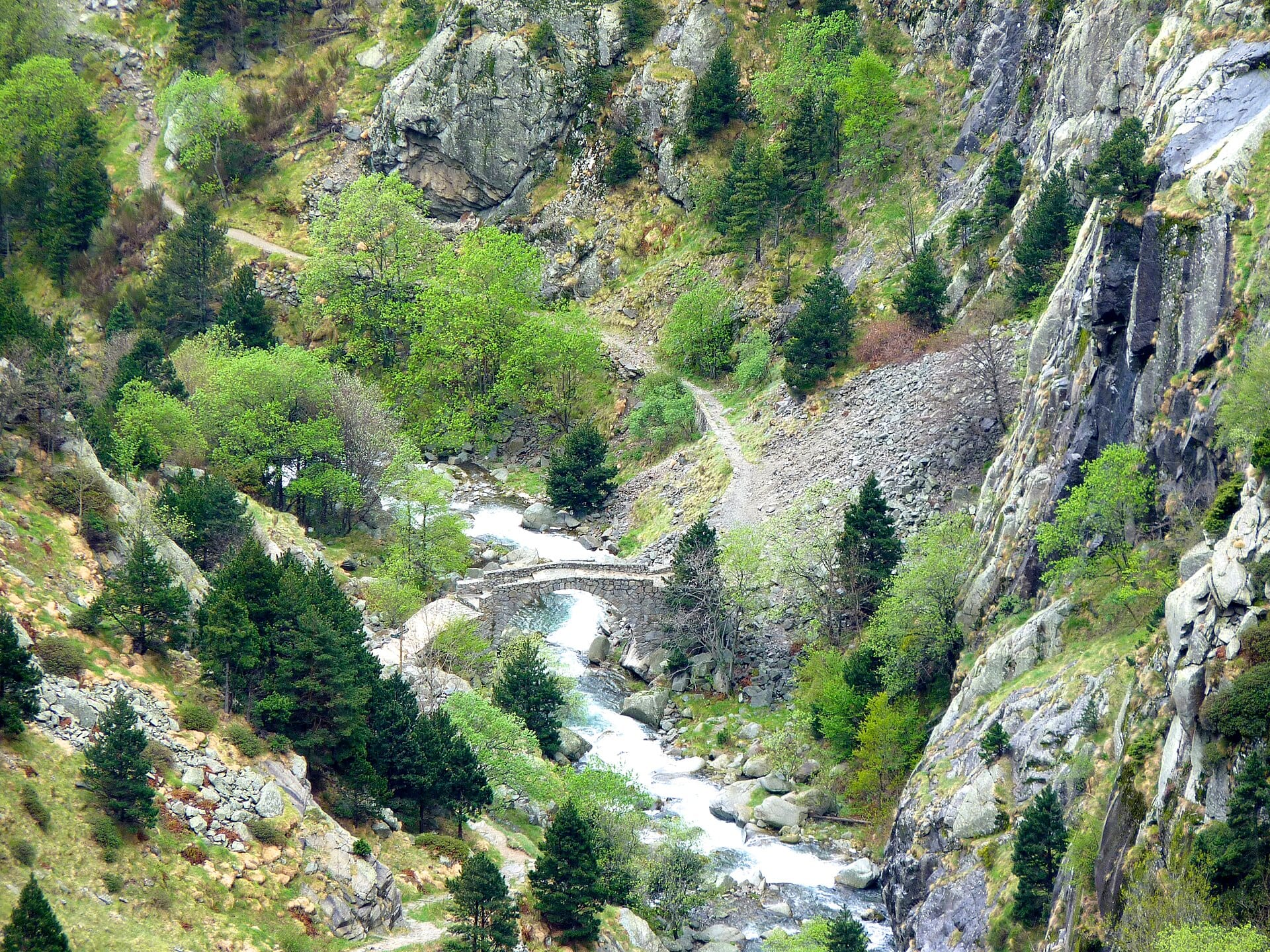
Millennia-old cobbled path that climbs from Queralbs to the Núria sanctuary through the gorges of the río Núria, with waterfalls such as the Sastre and the Cua de Cavall.
You can return on the rack railway. It is an interpretive trail of the Parc Natural de les Capçaleres del Ter i del Freser.
Photos: Victor molas (CC BY-SA 3.0), Josep Domènech i Sàbat (Public domain), Setze16 (CC0 / public domain), Kent Wang (CC BY-SA 4.0), EliziR (CC BY-SA 3.0), Pere López Brosa (CC BY-SA 4.0), Cèsar August Torras i Ferreri (CC0 / public domain), Alberto-g-rovi (CC BY-SA 3.0).
Published on 23 October 2026
02Gallery · 16 photos
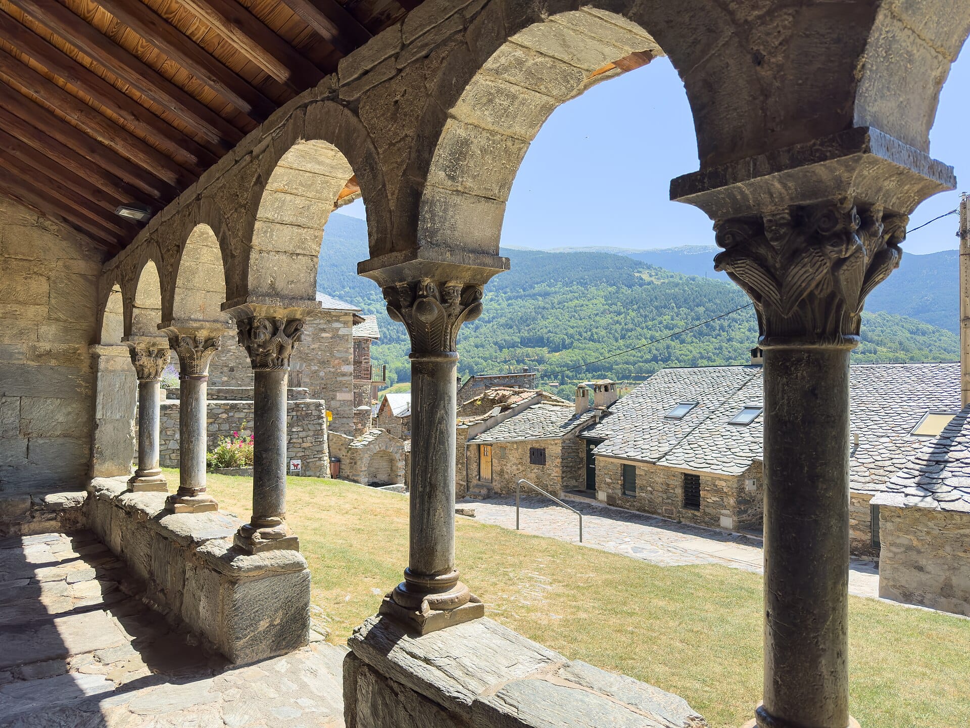 Waypoint · Sant Jaume de Queralbs
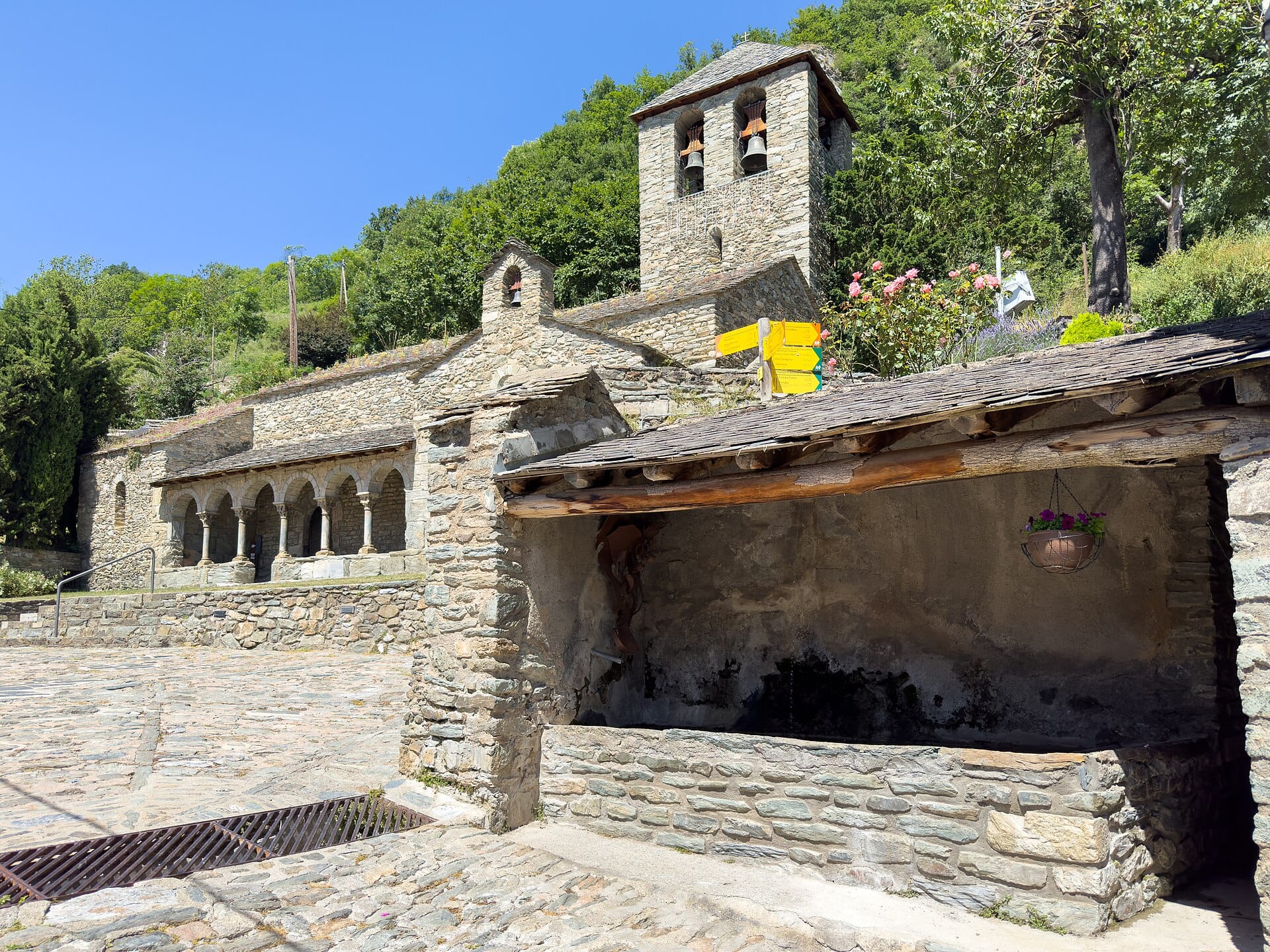 Waypoint · Sant Jaume de Queralbs
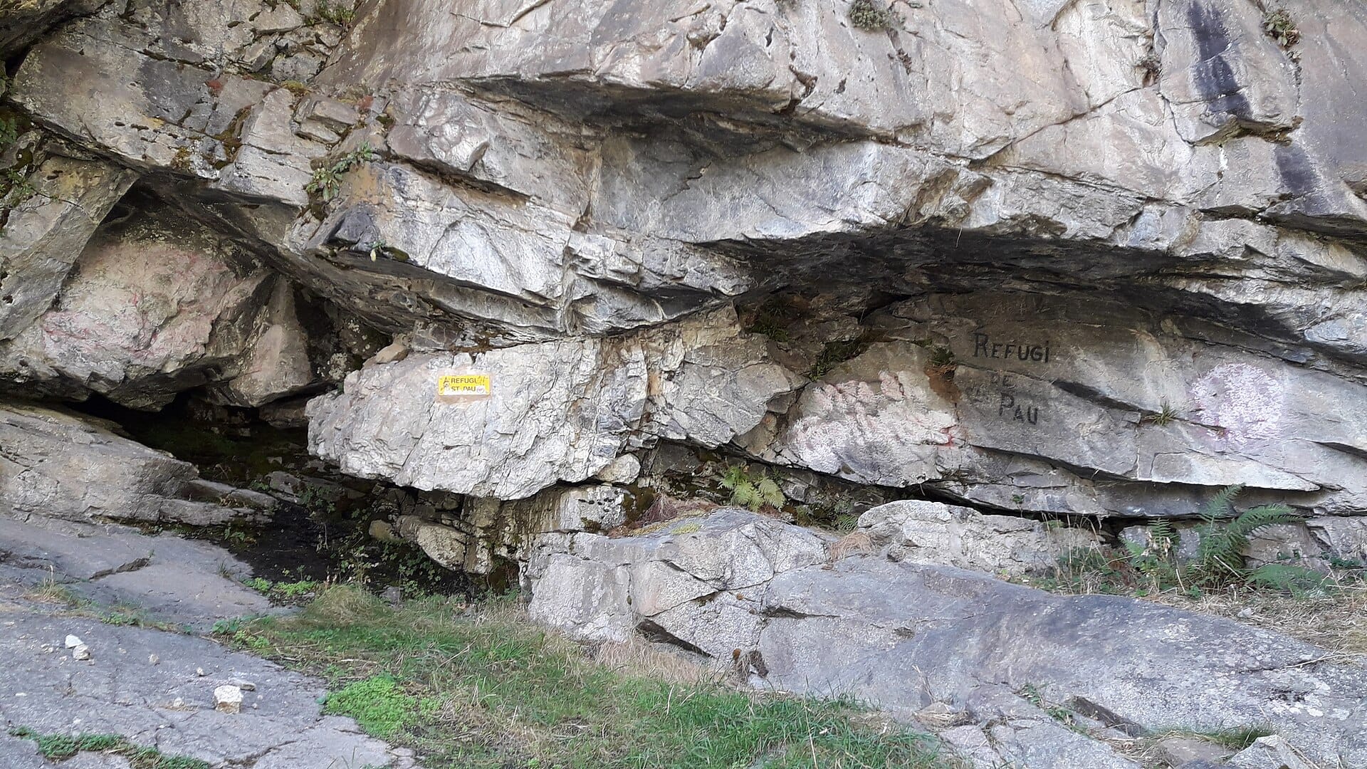 Waypoint · Refugi de Sant Pau
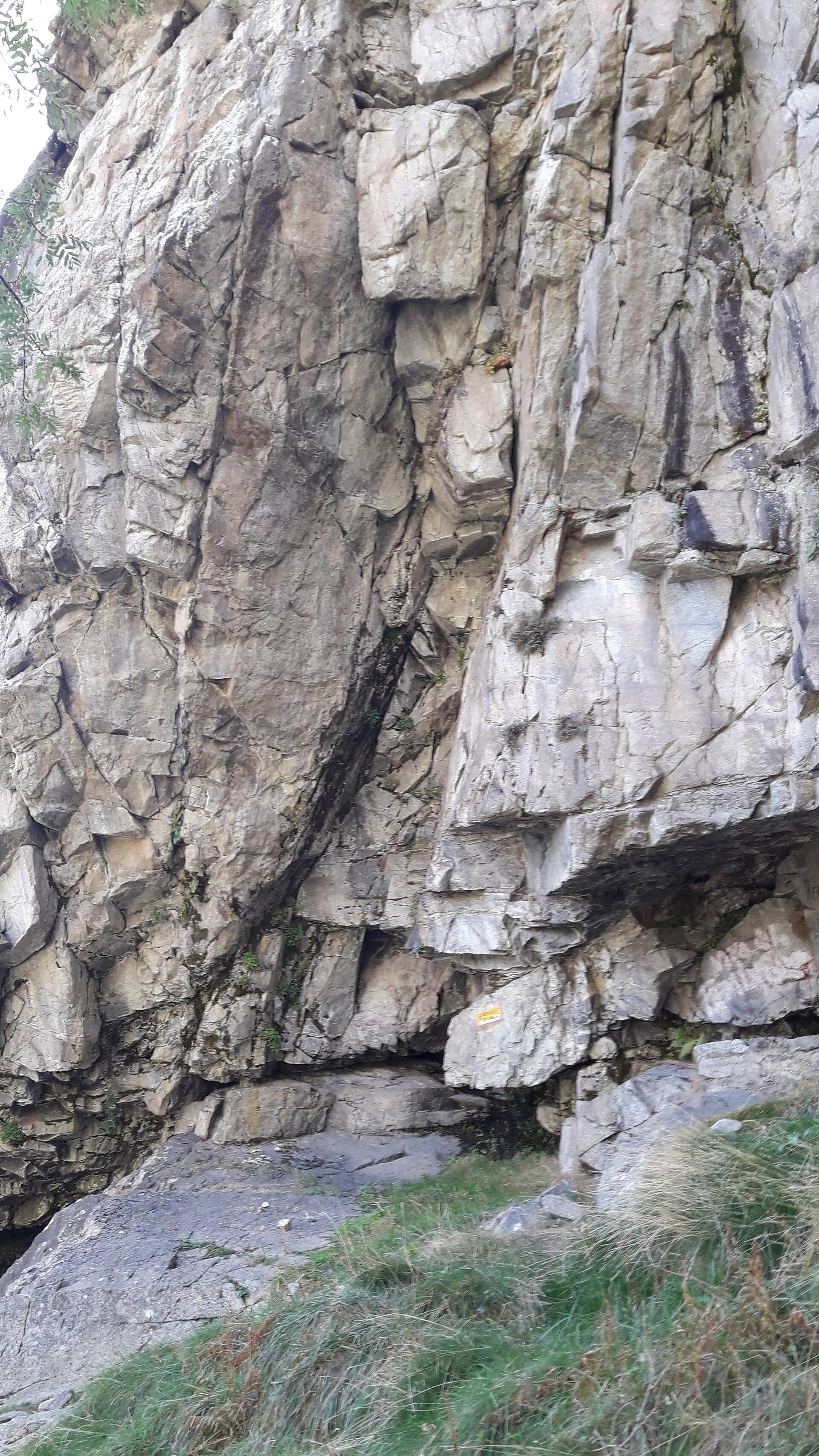 Waypoint · Refugi de Sant Pau
+11View gallery