

 Walking
Distance8.84 km
Duration1h 59m
Elevation↑490 mMin. 192 m · Max. 703 m
DifficultyModerate
TypeCircular
ProfileElevation
400 m
600 m
01About the route
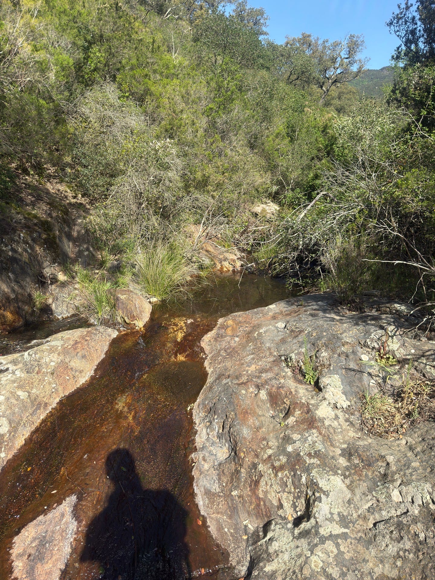
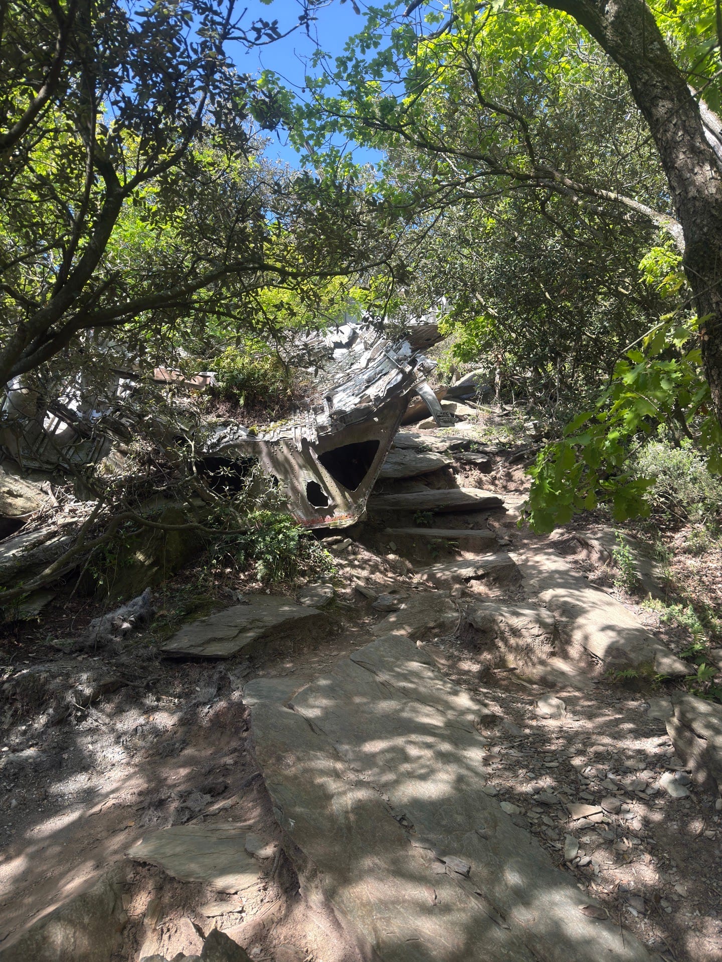
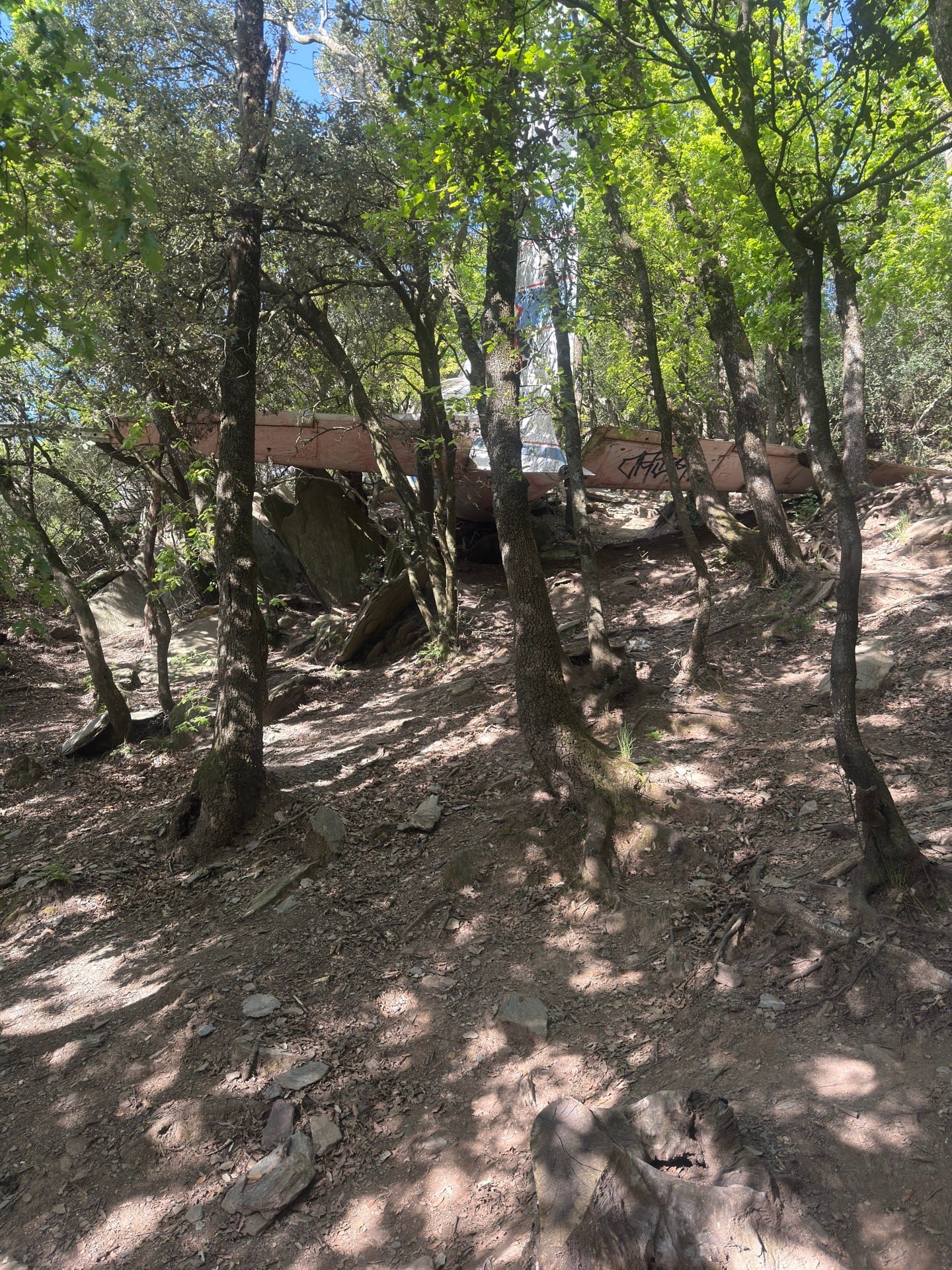
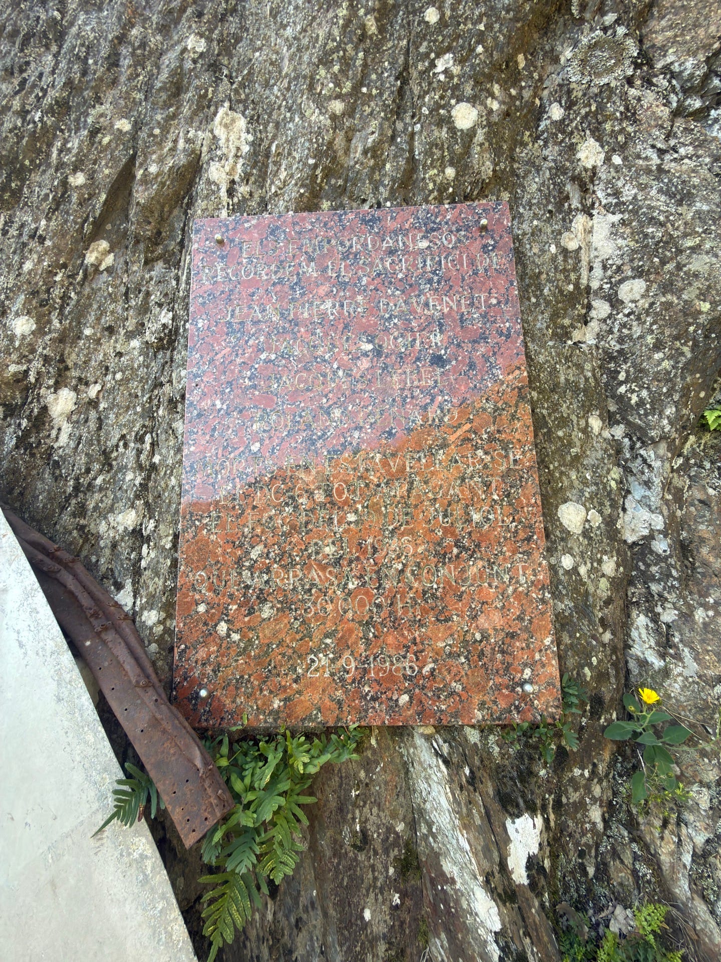
Traditional route to see the crashed Douglas firefighting plane, an easy route suitable for beginners.
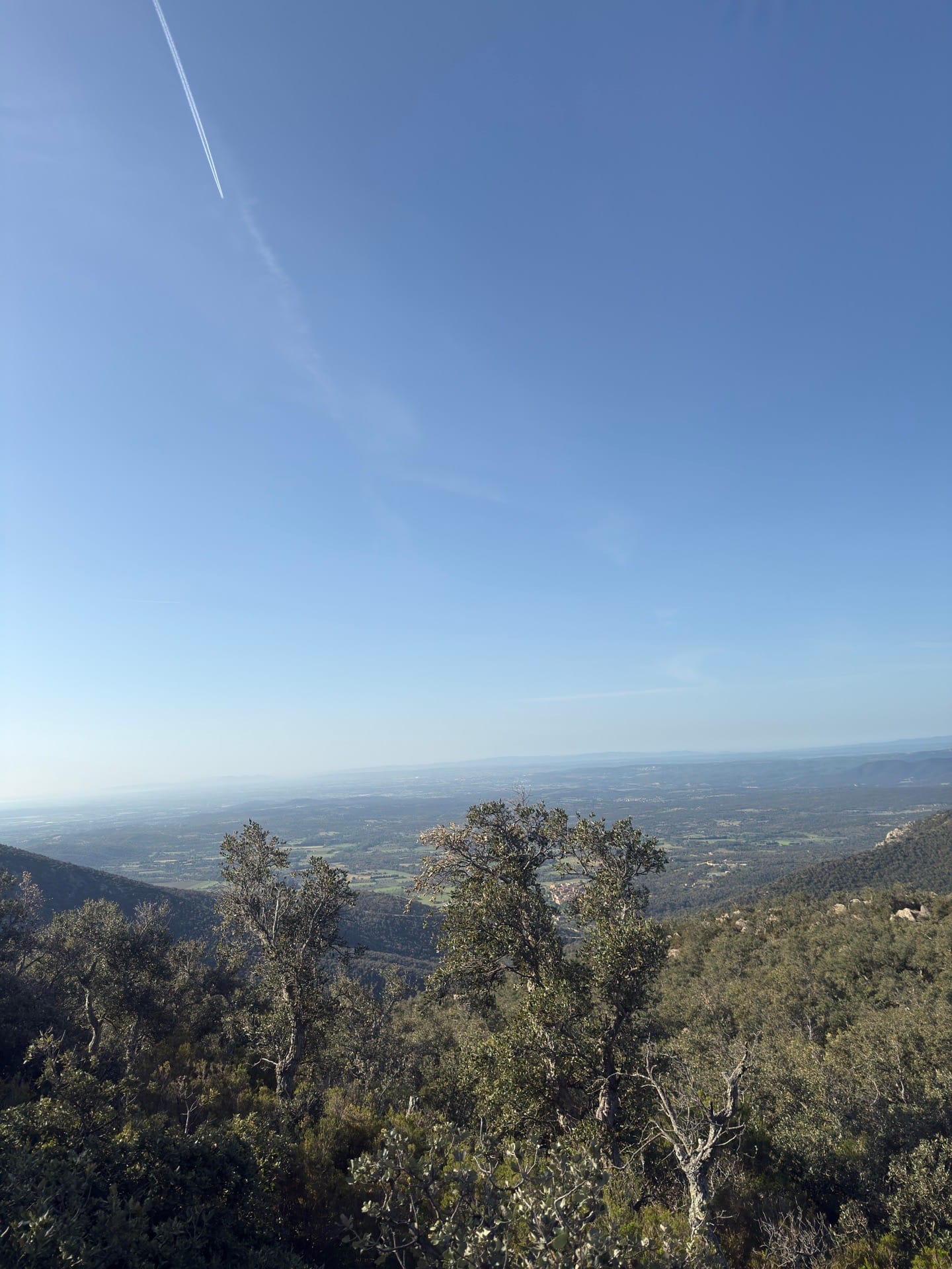
Accessible by various means such as 4x4, hiking, motorcycles, and mountain bikes. For 4x4 vehicles, follow the track and you will arrive, as the route has been shortened to a trail suitable for mountain bikes and motorcycles for more experienced riders. It's a good route for a boring weekend and perfect for exploring the area, with the option to go as far as Puig Neulos and enjoy the beautiful views of the Alt Empordà landscape.
Published on 25 April 2026
02Gallery · 10 photos
+5View gallery