

 Hiking
Distance3.5 km
Duration2h 30m
Elevation↑565 ↓26 mMin. 1995 m · Max. 2537 m
DifficultyModerate
TypeOne way
ProfileElevation
01About the route
The easiest route up the Comabona (2,554 m) starts at the Prat d'Aguiló refuge, which is reached by 13 km of track from Montellà, climbs to the Pas dels Gosolans and follows the rocky ridge to the summit.
In winter the track is usually impassable.
Route drawn from data © OpenStreetMap contributors (ODbL).
Photos: Pere López Brosa (CC BY-SA 4.0), EliziR (CC BY-SA 3.0).
Published on 23 October 2026
02Gallery · 9 photos
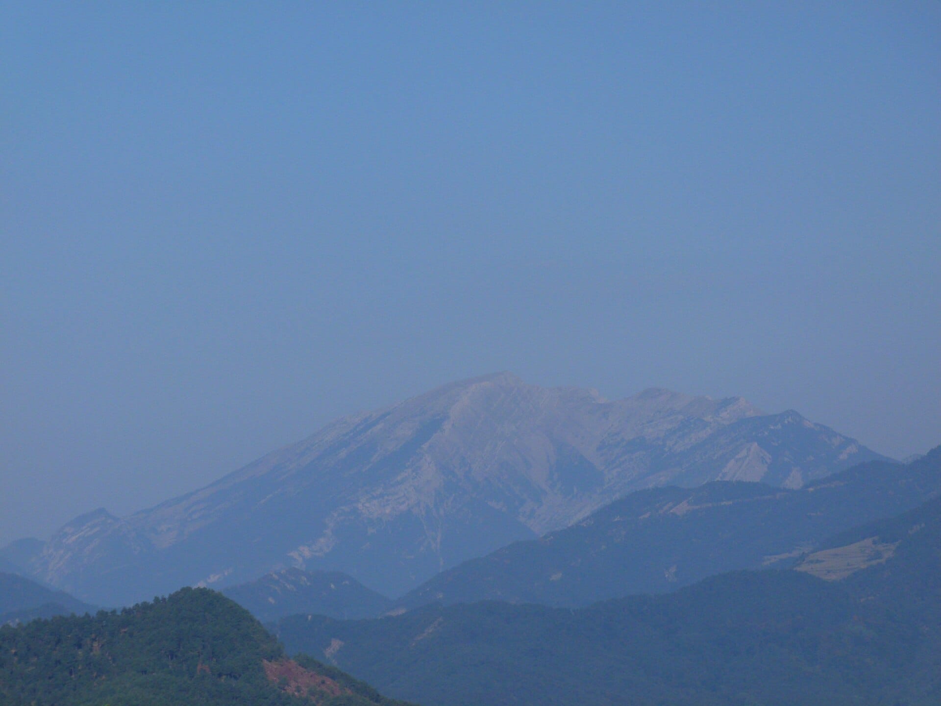
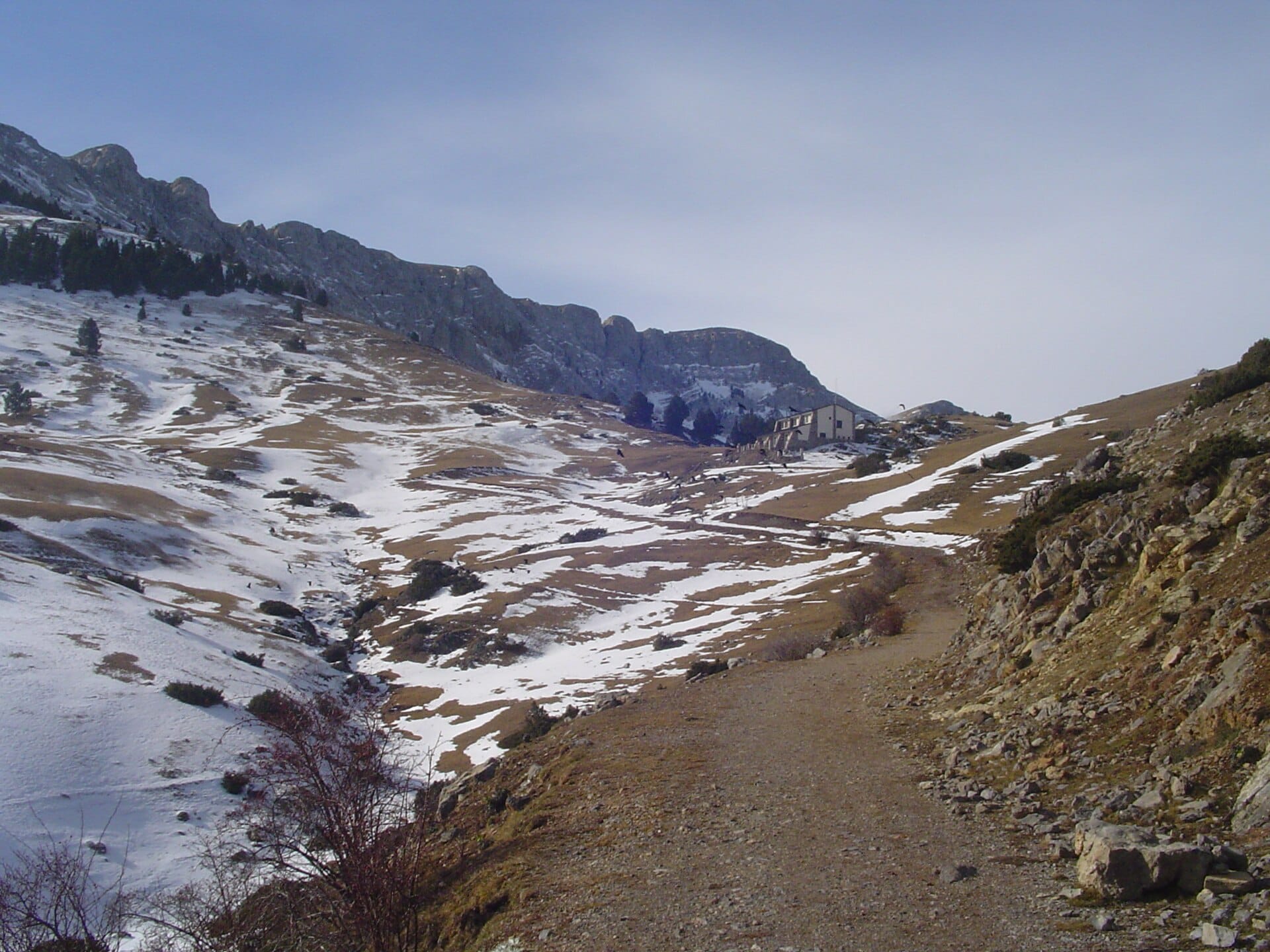 Waypoint · Refugi de Prat d'Aguiló
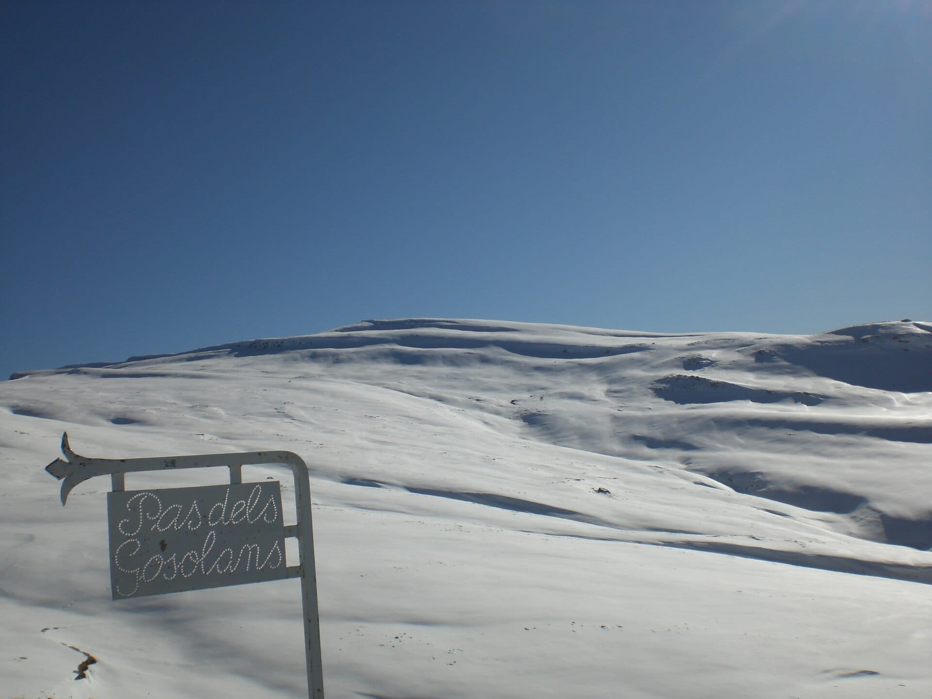 Waypoint · Pas dels Gosolans
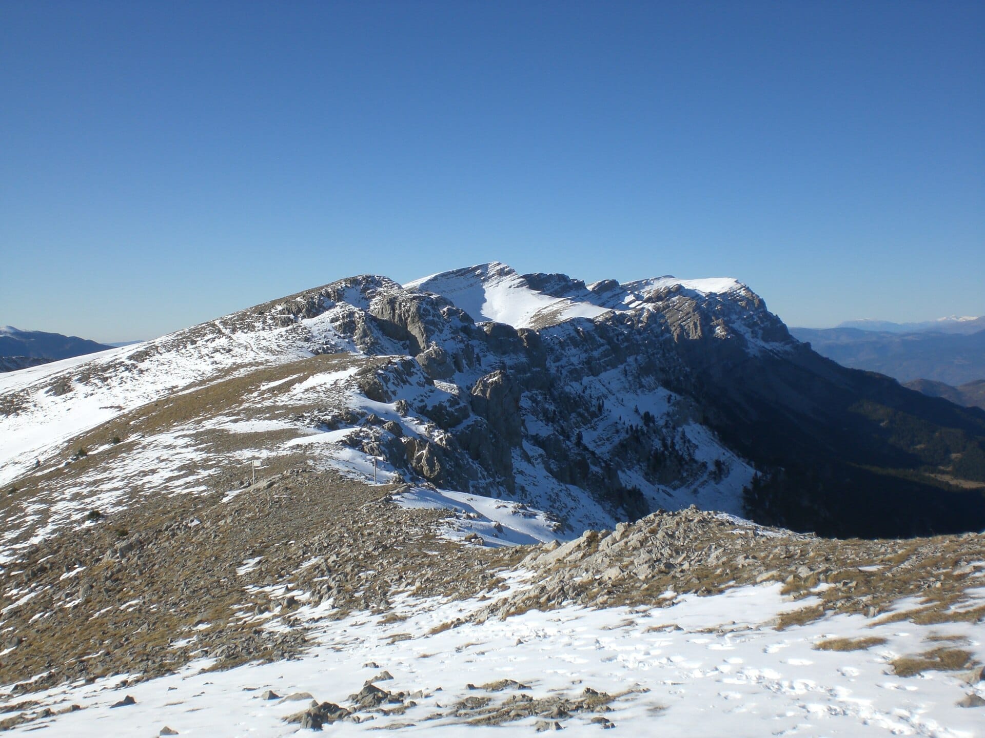 Waypoint · Pas dels Gosolans
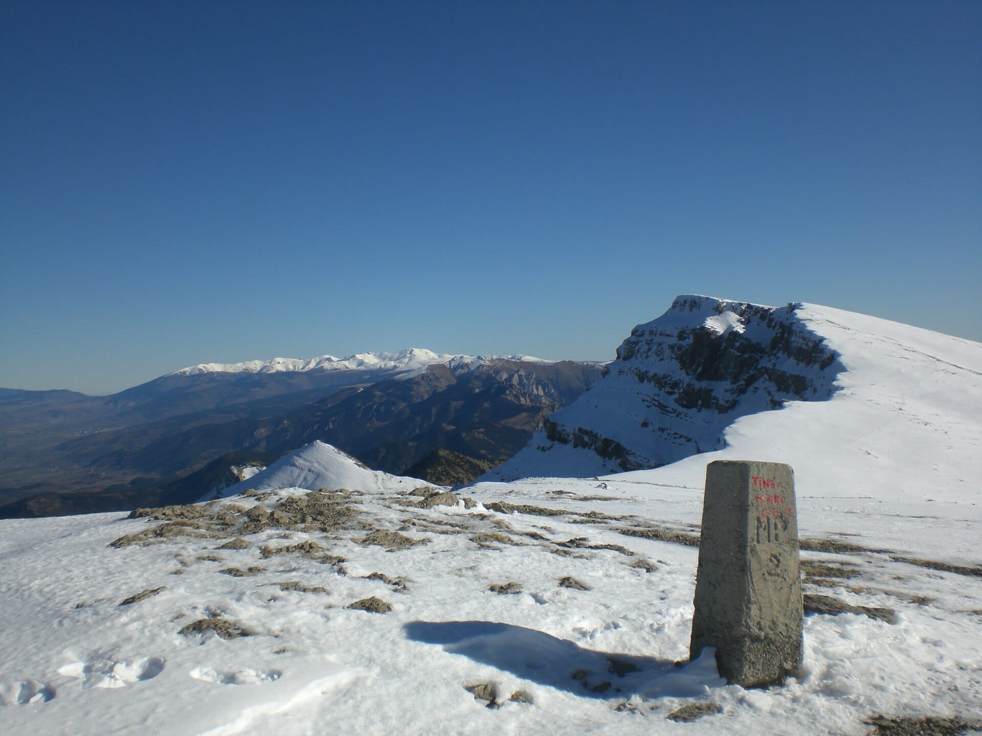 Waypoint · Puig de Font Tortera
+4View gallery