

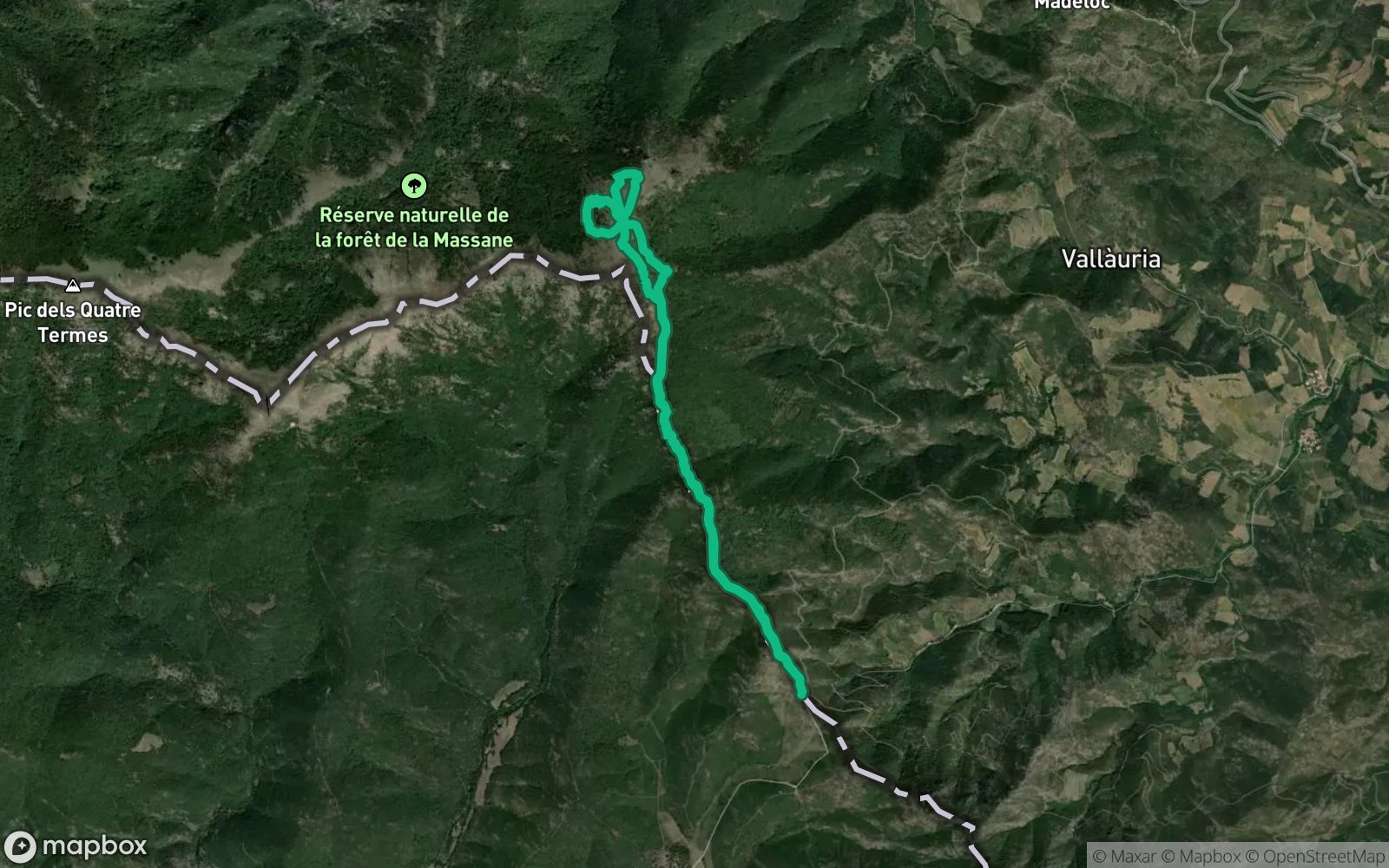
 Hiking
Distance9.14 km
Duration2h 19m
Elevation↑604 mMin. 350 m · Max. 964 m
DifficultyModerate
TypeRound trip
ProfileElevation
01About the route
Circular route of 9.1 km and 1,110 m of positive elevation gain through Rabós, Banyuls-sur-Mer and Espolla.
It climbs Pic de Sallfort (982 m) and Puig de les Eres (698 m) and crosses Coll de les Eres (685 m) and Col de Banyuls (357 m), with views from Coll de Banyuls. Along the way you will find Refugi del Coll de Banyuls. ZeroSignal spots on the route: Refugi Tommy, Font del Coll de Banyuls and Refugi coll de banyuls.
Published on 30 October 2026