

 Kayak
KayakDistance1.9 km
Duration29 min
Elevation↑15 ↓17 mMin. 3 m · Max. 34 m
DifficultyHard
TypeOne way
ProfileElevation
01About the route
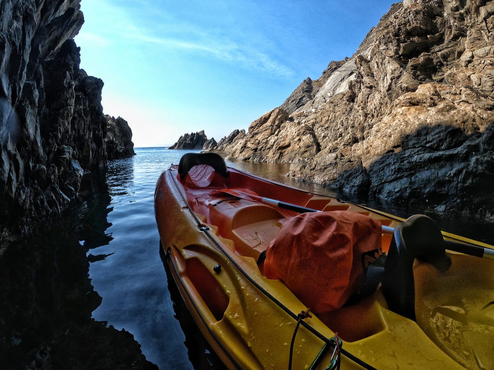
At the foot of Punta de l'Ocell, inside the cave foradada, formerly known as La Raimera, the muga +602, right where the Pyrenees and the Albera mountain range end, where the Costa Vermella joins the Costa Brava and the waters of the Gulf of Lion mix with those of the sea of Cap de Creus.
Published on 4 October 2026
02Gallery · 2 photos
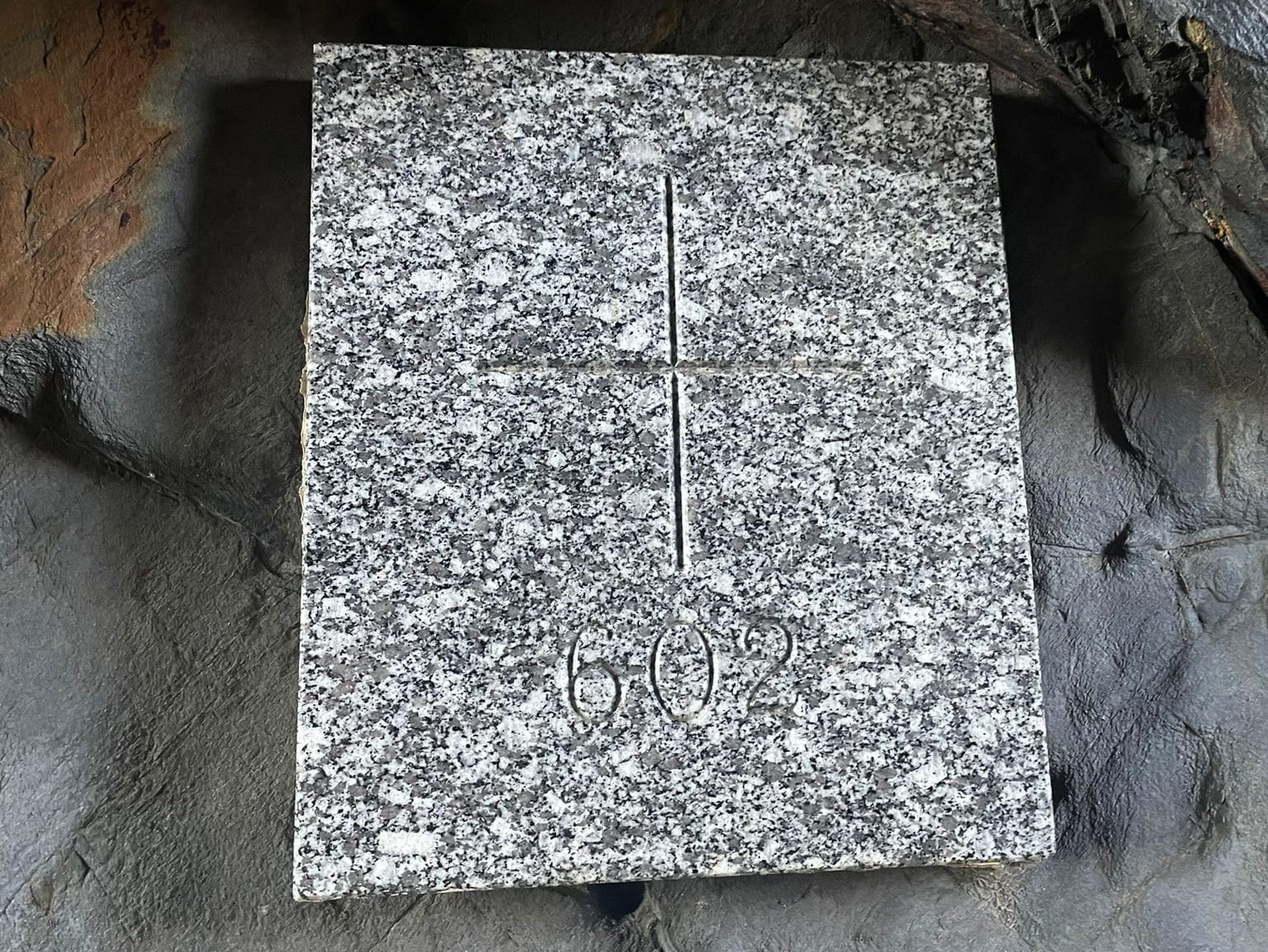 Waypoint · 602