

 Hiking
+001L +002L +003L +004L +005L +006L +007 +008L +009 +010L +011L +012L +013L +014L +015L +016L +017L +018L +019L +020L +021L +022L +023L +024L +025L +026L +027L +028L +029L +030L +031L +032L +033L +034L +035L +036L +037L +038L +039L +040L +041L +042L +043L +044L +045L
Pontarró d'en Xidosa - Prada d'Avall - El Pla d’Onzès – Serra de Concellabre – Serra de Santa Leocaia – Aerodrome – Ribera d’Er – Prats de l’Espona – Camí de Gorguja a Err – Carretera N-154 – Granja Puiggener – Serrat del Terrosell – Rierol de Palmanill – Pla de Palmanill – Riu de Targasona – Serrat de Cogull – Prats del Pou – Prat del Rei – Camp del Rei – Rec de Vilalta – El Tudó d’Angostrina – Pla de la Portella – Les Esquerres – Serra d’en Calbera – Costa d’en Calbera – Els Camps de Mala-sanya – Camí d’Ur a Llívia – La Pedra Llarga
BORDER TRAIL STAGE 8B L001 TO L045
LlÍvia is 1 kilometer from Spain and 20 kilometers from Andorra, and has a perimeter of 12 square kilometers.
In 1659, the Spanish-French border was established in the Treaty of the Pyrenees. In the Treaty of Llívia (1660), half of Cerdanya, which includes 33 villages, was given to France. However, Spain refused to hand over Llívia, simply because it was a city and not a village. This is how Llívia became an enclave. Llívia has its own range of 45 markers.
We will start the route on the Avinguda dels Països Catalans, and we will go towards Estavar, we will turn left onto the D 33r road once in France, and we will go along the Castell de Llívia hill, at the foot of which modern Llívia was built, through the Pla de la Mina. In many sections of this route we will find examples of dry stone rural architecture: shepherd's huts, terraces and terraces. We go into the Bosc d’Estavar to find the first Muga, +LL 22, one of the specials of the day, hidden in the Estaüja river. Through the Palmanill meadows we will go cross-country to look for +LL 23 located in the meadow of the same name. Once in Serrat de Cogull we will pass behind the Càmping de la Griole, in Vilalta, France, which is located at 1600 meters above sea level and is open all year round, and we will do a series of mugas through the Pou meadows.
We will strictly follow the border through the Tudó de’Angostrina and its canal that acts as the border boundary. Once in the Prat de la Portella we will head towards the oratory of Puig, making a small descent through the Serra d’en Calvera, the Costa d’en Calvera and Terraforts. We cross the Ur to Llívia road and head towards +LL 1, which is located next to the N-154 road. This entire area of fields is full of wires, electrified in some cases some with steps and some not, we must be careful not to leave any open, and not to get hurt in others. Once we cross the Segre river we will go from field to field through the meadows of Onzé until we find the Serra de Concellabre and the Serra de Santallocaia. We will pass by the Er riverbank returning to the N-154 road to return to Llívia and end the stage.
Published on 20 October 2026
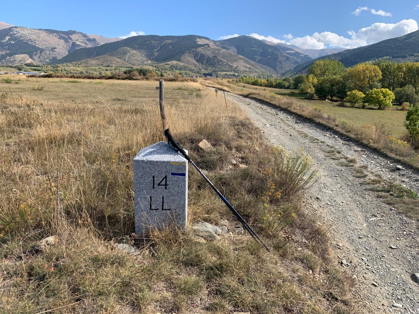
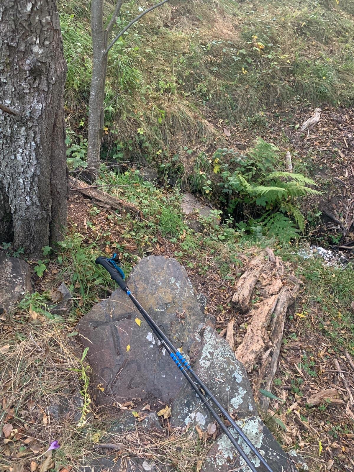 Waypoint · Ll 22
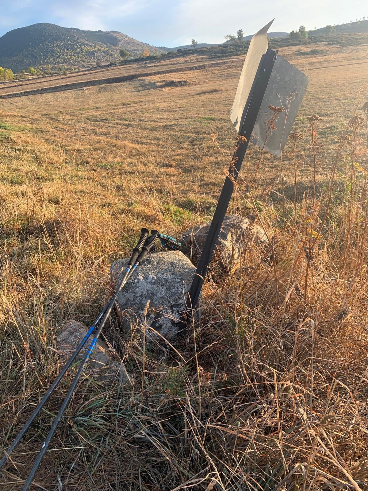 Waypoint · Ll 23
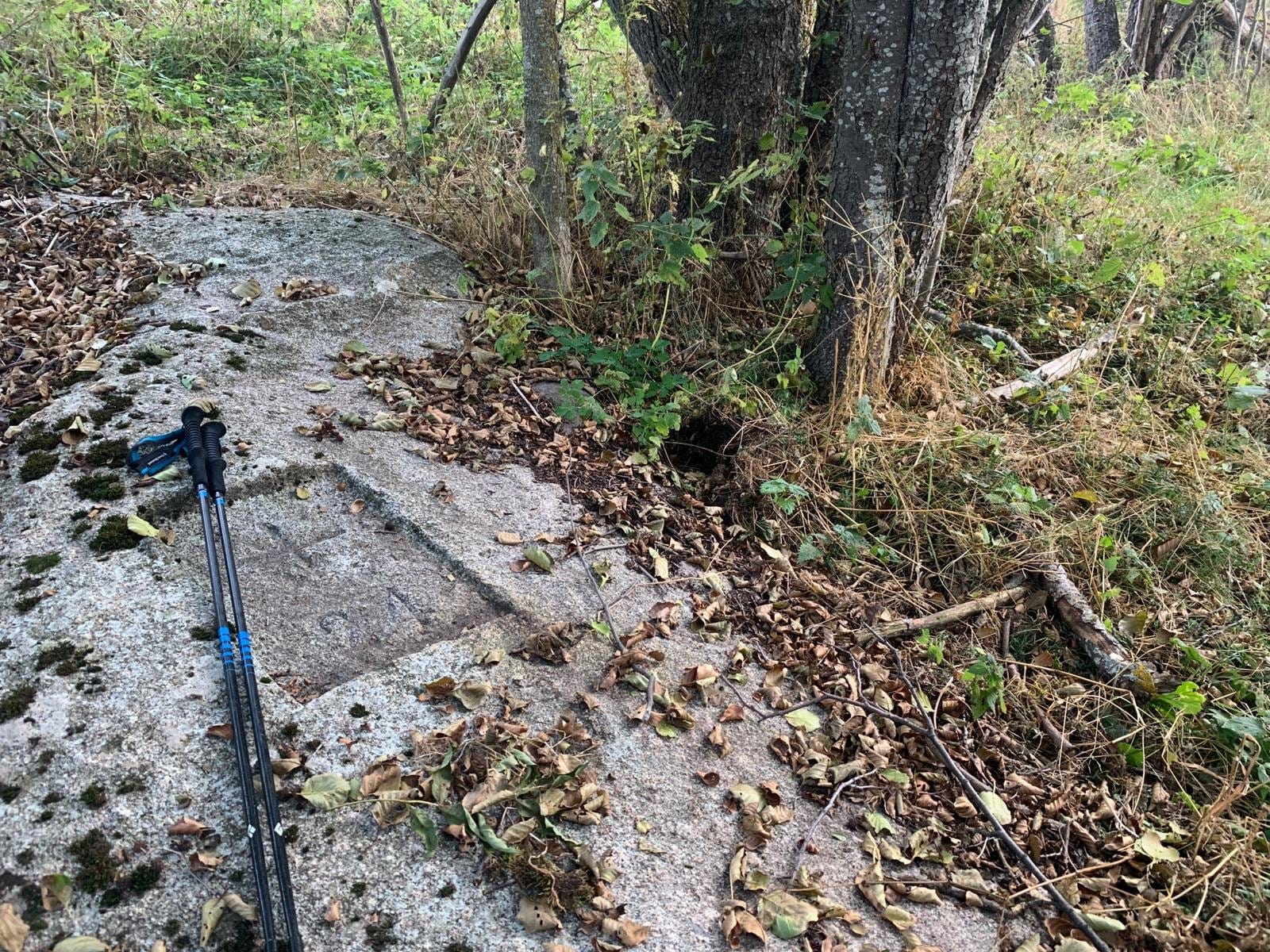 Waypoint · Ll 24
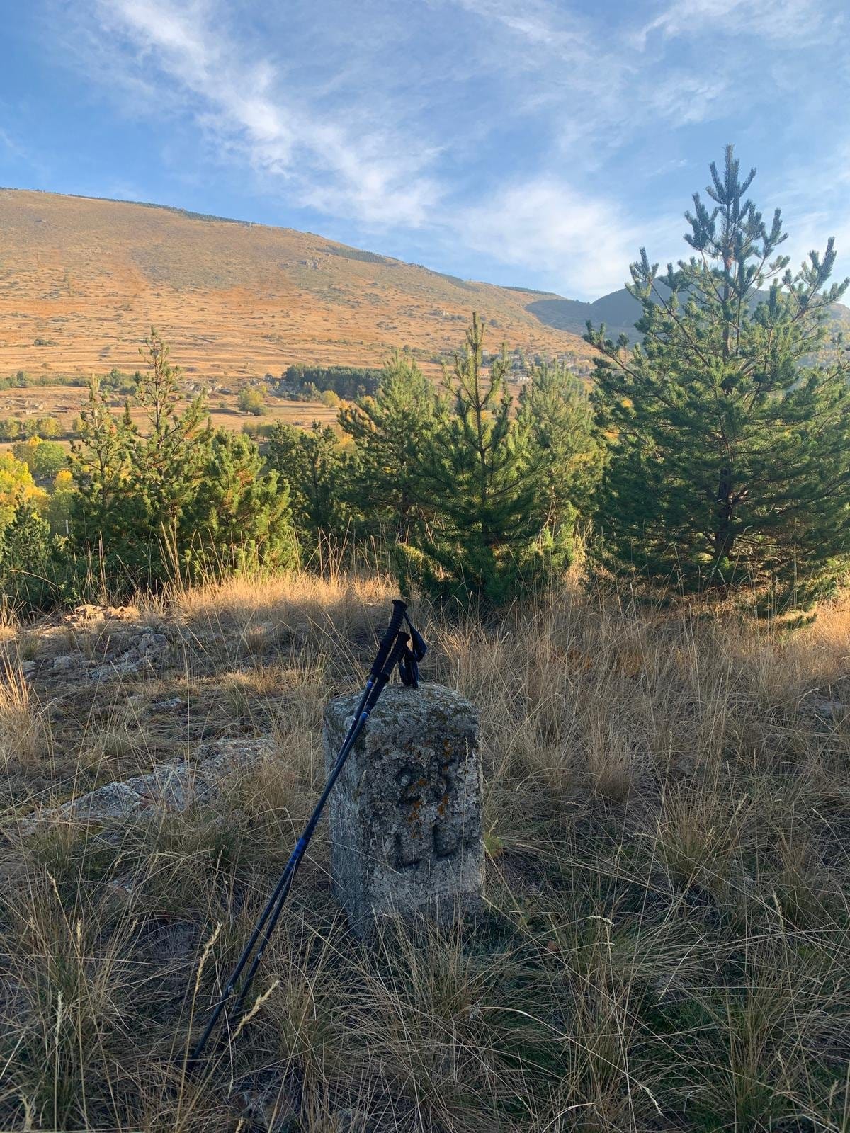 Waypoint · Ll 25