

 Hiking
Distance9.2 km
Elevation↑386 mMin. 63 m · Max. 377 m
DifficultyEasy
TypeCircular
ProfileElevation
01About the route
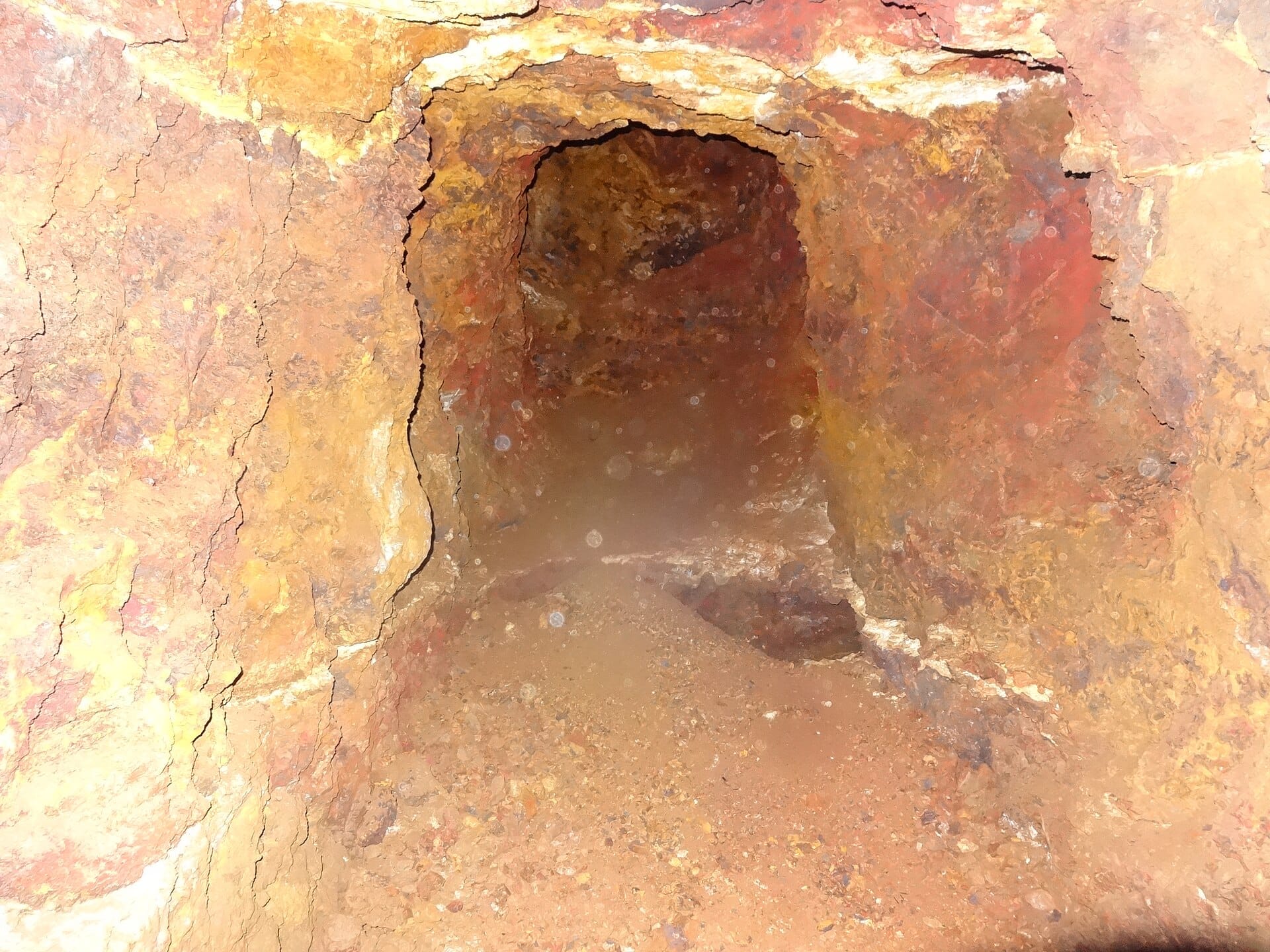
Itinerario del Consorci de les Gavarres por la vertiente norte del macizo en Celrà, que visita las antiguas explotaciones mineras del Nen Jesús entre bosque mediterráneo.
Trazar a partir del track publicado por el Espai Natural de les Gavarres.
Fotos: EliziR (CC BY-SA 3.0), Enric (CC BY-SA 4.0), Josep Maria Viñolas Esteva (CC BY-SA 4.0), klimmanet (CC BY 3.0).
Published on 22 October 2026
02Gallery · 5 photos
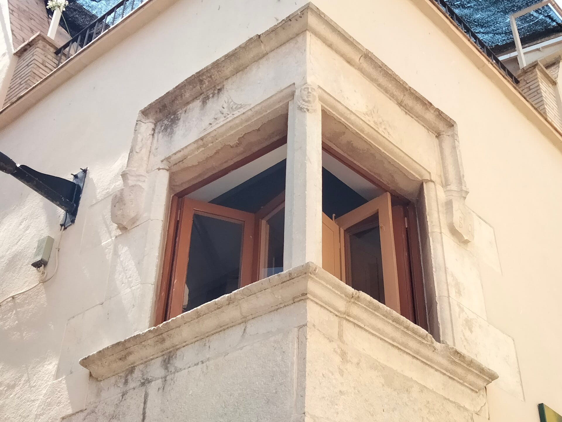 Waypoint · Salida: Celrà
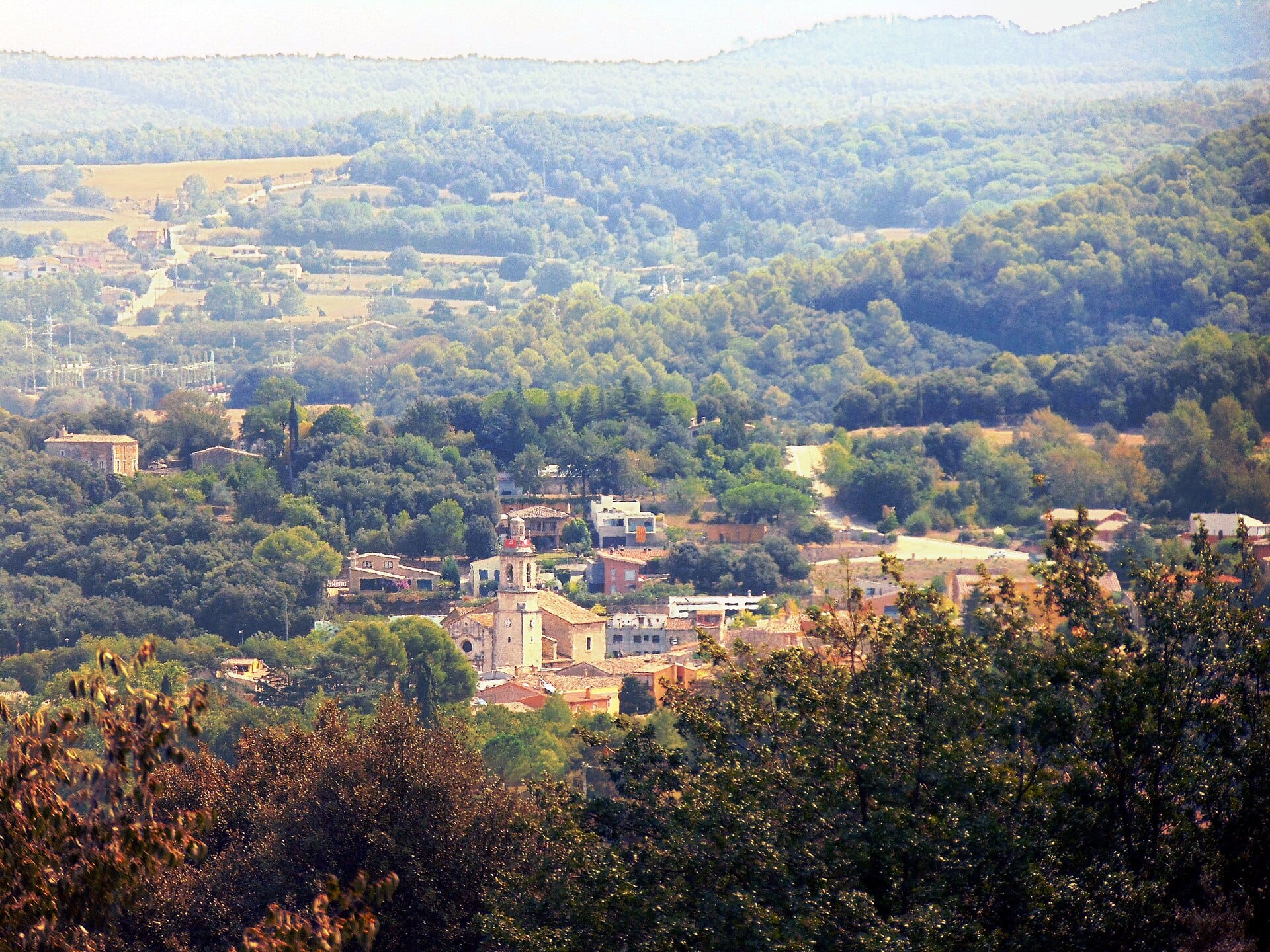 Waypoint · Salida: Celrà
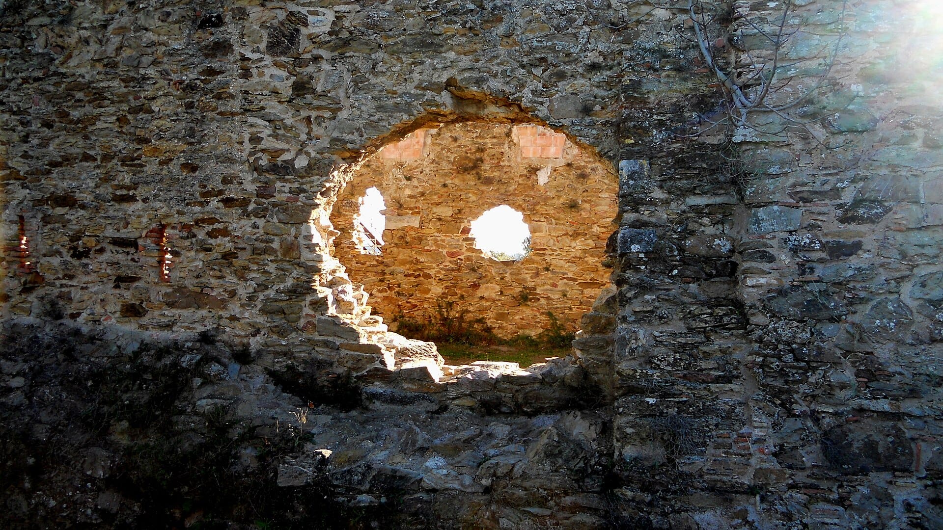 Waypoint · Castell de Sant Miquel
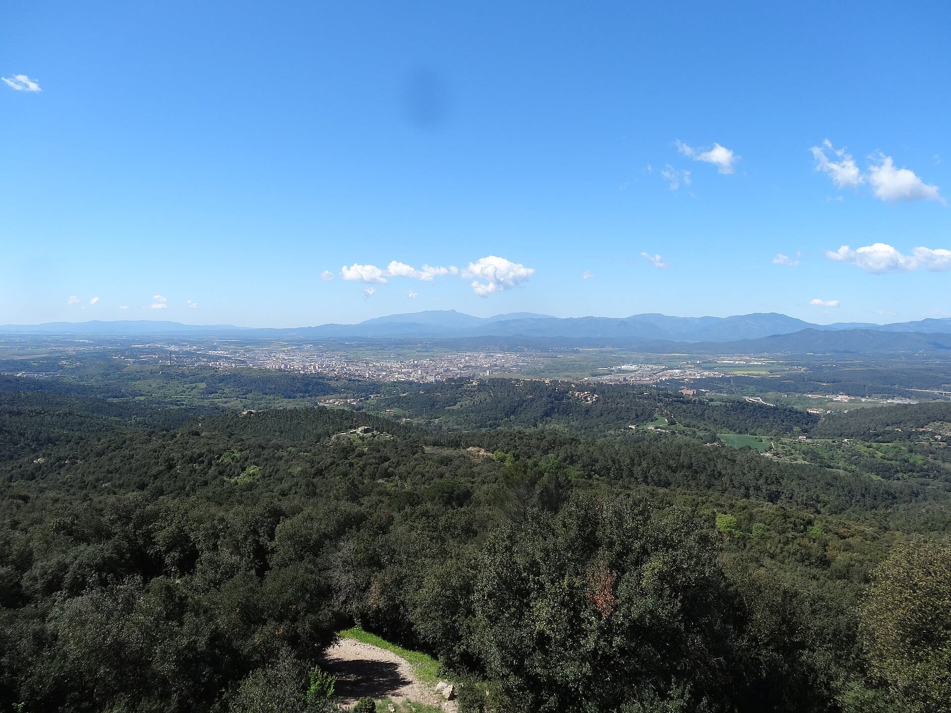 Waypoint · Castell de Sant Miquel