

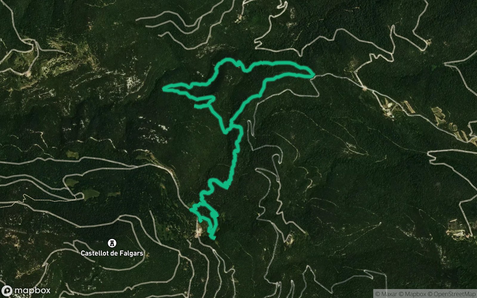
 Hiking
Distance6.22 km
Duration1h 32m
Elevation↑353 mMin. 392 m · Max. 757 m
DifficultyModerate
TypeRound trip
ProfileElevation
01About the route
Circular route of 6.2 km and 350 m of positive elevation gain through Cabanelles and Beuda.
ZeroSignal corners on the route: Roca Rassoladora, Font de l'Hort de Falgars, Capella de l'Anunció de Falgars and Font de Falgars.
Published on 4 November 2026