

 Walking
Distance5.67 km
Duration2 h 5 min
Elevation↑113 mMin. 72 m · Max. 169 m
DifficultyModerate
TypeRound trip
ProfileElevation
01
Practical information
Directions
Checked against 7 official sources on September 27, 2026
- Paratge de Tudela (itinerari 17) · Parc Natural de Cap de Creus (Generalitat de Catalunya)
- Preguntes sobre la regulació d'accés a la Punta de Cap de Creus. 2026 (versió 28/08/2026) · Parc Natural de Cap de Creus (Generalitat de Catalunya)
- Com accedir-hi: regulacions d'accés (any 2026) · Parc Natural de Cap de Creus (Generalitat de Catalunya)
- Horaris dels punts d'informació del Parc · Parc Natural de Cap de Creus (Generalitat de Catalunya)
- Itineraris Punta de Cap de Creus (quadríptic) · Parc Natural de Cap de Creus (Generalitat de Catalunya)
- Itineraris terrestres · Parc Natural de Cap de Creus (Generalitat de Catalunya)
- Plànol-guia del Parc Natural de Cap de Creus (2025) · Parc Natural de Cap de Creus (Generalitat de Catalunya)
02
What Marta Berg says
In Tudela, the shapes of the rocks compete with the views of the sea.
From the car park, the path links viewpoints and small coves until it reaches Culip, with stops such as the roca del Camell or the mirador de la Gran Sala. It's a very exposed route, so it's a good idea to bring water and choose a day with little wind.
Published on 21 September 2026
03Gallery · 9 photos
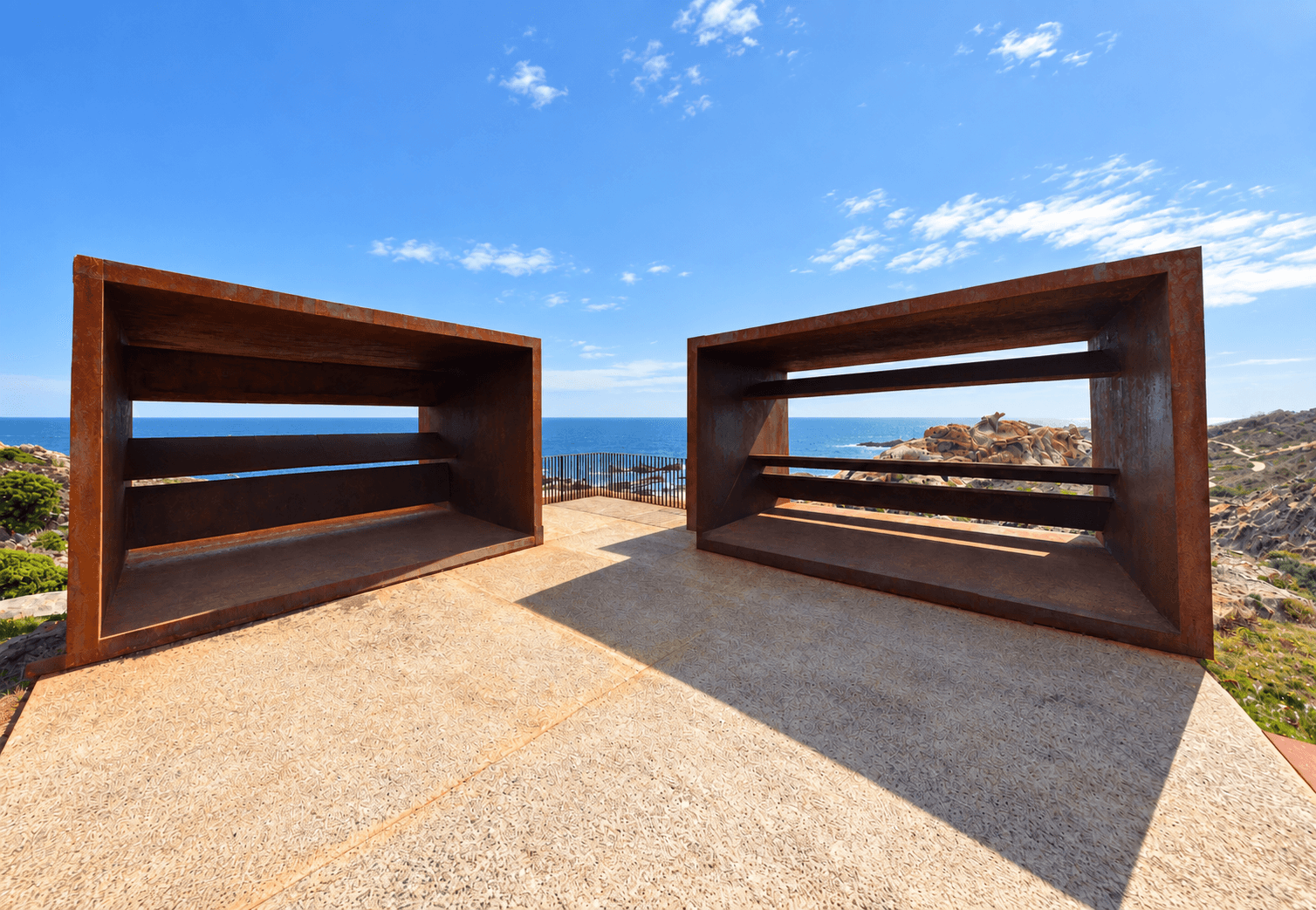 Waypoint · Mirador de la Gran Sala
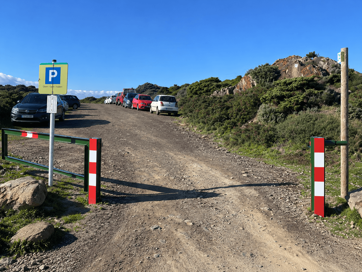 Waypoint · Aparcamiento de Ses Portes
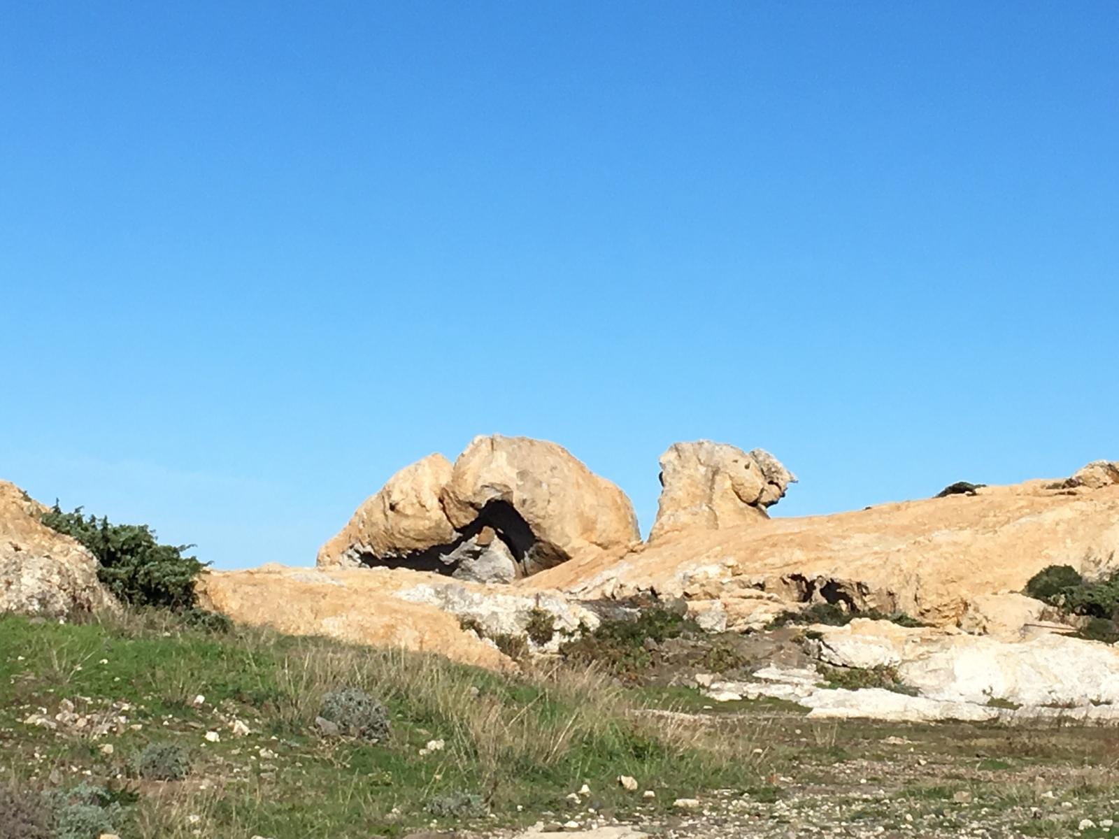 Waypoint · Mirador d'es Camell
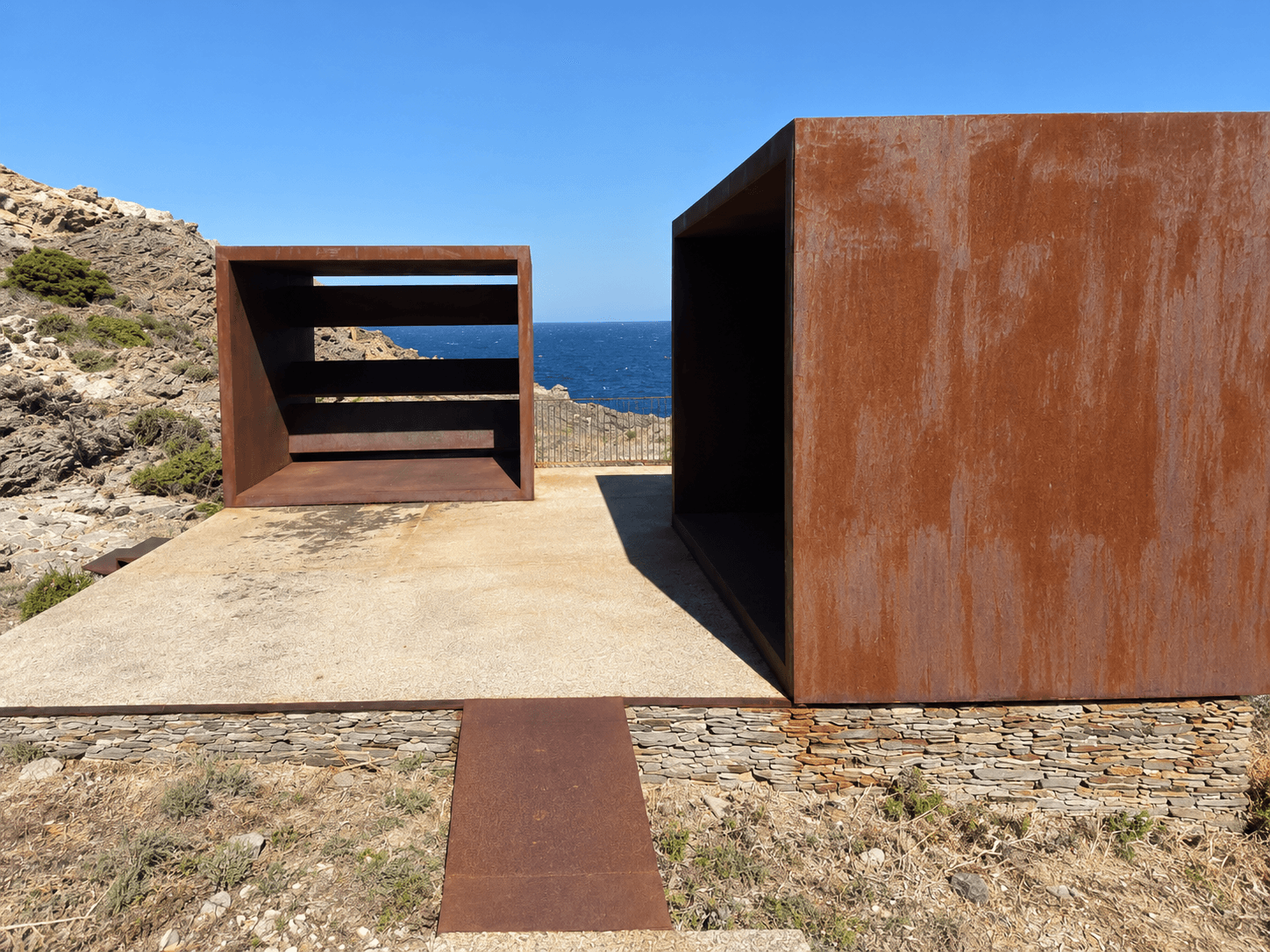 Waypoint · Mirador del Pla de Tudela
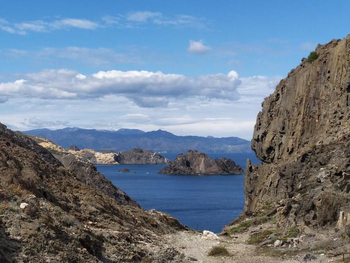 Waypoint · Mirador de l'Illa de Portaló
+4View gallery