

 Hiking
Distance5.42 km
Duration1h 54m
Elevation↑255 mMin. 1357 m · Max. 1623 m
DifficultyEasy
TypeRound trip
ProfileElevation
01About the route
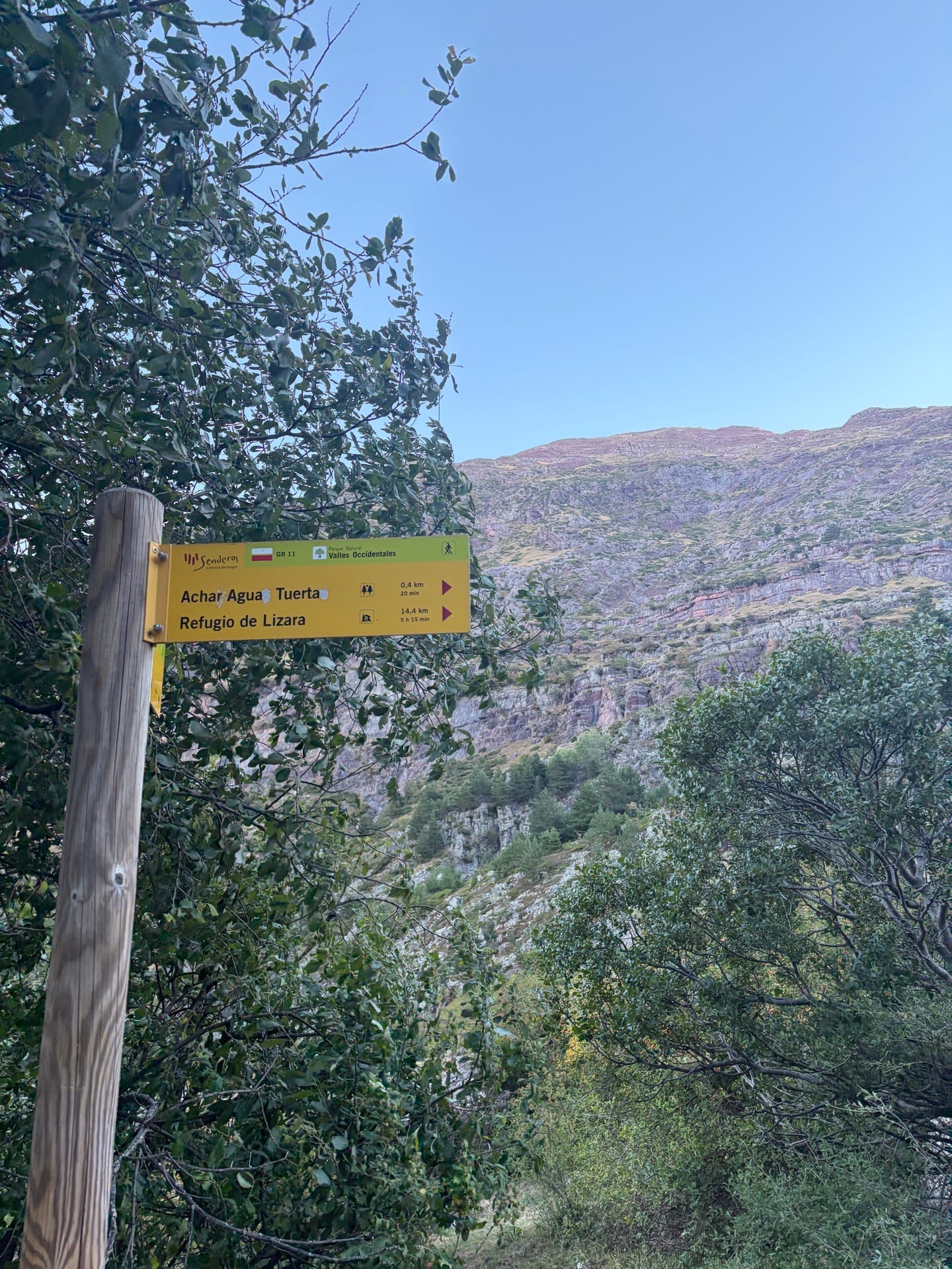
Easy and simple route above the Selva de Oza campsite, you can find cows there depending on the time of year, it is important to keep dogs on a leash.
At the top there is a shelter in very good condition that is worth preserving in the same way. The route starts from the parking lot but you can start earlier from the campsite itself, practically the entire route is on the track except for the final part which does get a little more complicated (not much) as you have to climb some stones. There is also the option of extending the route to a nearby Ibon (2h more).
Published on 11 September 2026
02Gallery · 8 photos



+3View gallery