

 Trail Running
Distance12.54 km
Duration1h 51m
Elevation↑439 ↓519 mMin. 1 m · Max. 517 m
DifficultyModerate
TypeOne way
ProfileElevation
01About the route
Linear route of 12.5 km and 440 m of positive elevation gain through Pau and Port de la Selva.
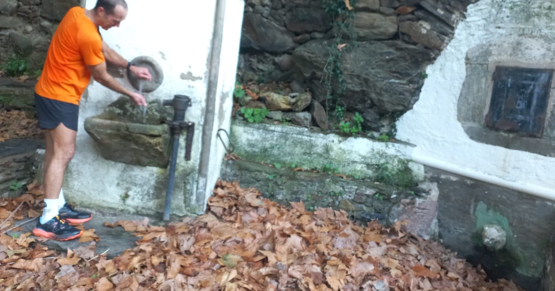
It climbs to Cru Blanca (466 m) and Puig de la Granja (511 m), crosses Coll de la Guillosa (482 m) and Coll del Perer (360 m) and passes at the foot of Puig Castellar (106 m). There is a fountain along the way. ZeroSignal corners on the route: Mirador de Mas Ventós and Pont de la Riera de la Selva.
Published on 8 November 2026