

 Road Bike
Distance394 km
Duration9h 25m
Elevation↑5931 mMin. 35 m · Max. 1716 m
DifficultyEasy
TypeCircular
ProfileElevation
01About the route
Circular route of 394 km and 7,370 m of elevation gain through Figueres, Agullana, Maureillas-las-Illas, Bugarach and Céret.
Crosses Col de la Quillane (1,714 m), Col de la Brousse (860 m) and Coll de Manrella (716 m), with views from Belvédère Orgues d'Ille. Along the way you will find Nostra Senyora de Loreto, Chez Paco, Font de Val Rose, Ermitage Saint-Antoine de Galamus and 18 more fountains. ZeroSignal spots on the route: Refugi de mina del camp d'aviació de Figueres, Orgies d'Ille-sur-Têt Viewpoint, Banc du Perpignan and Plàtans de la Font d'Avall.
Published on 12 October 2026
02Gallery · 7 photos
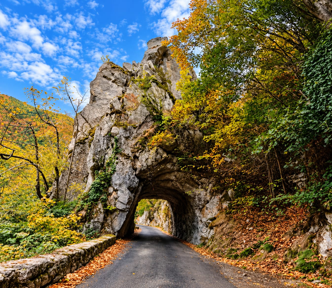
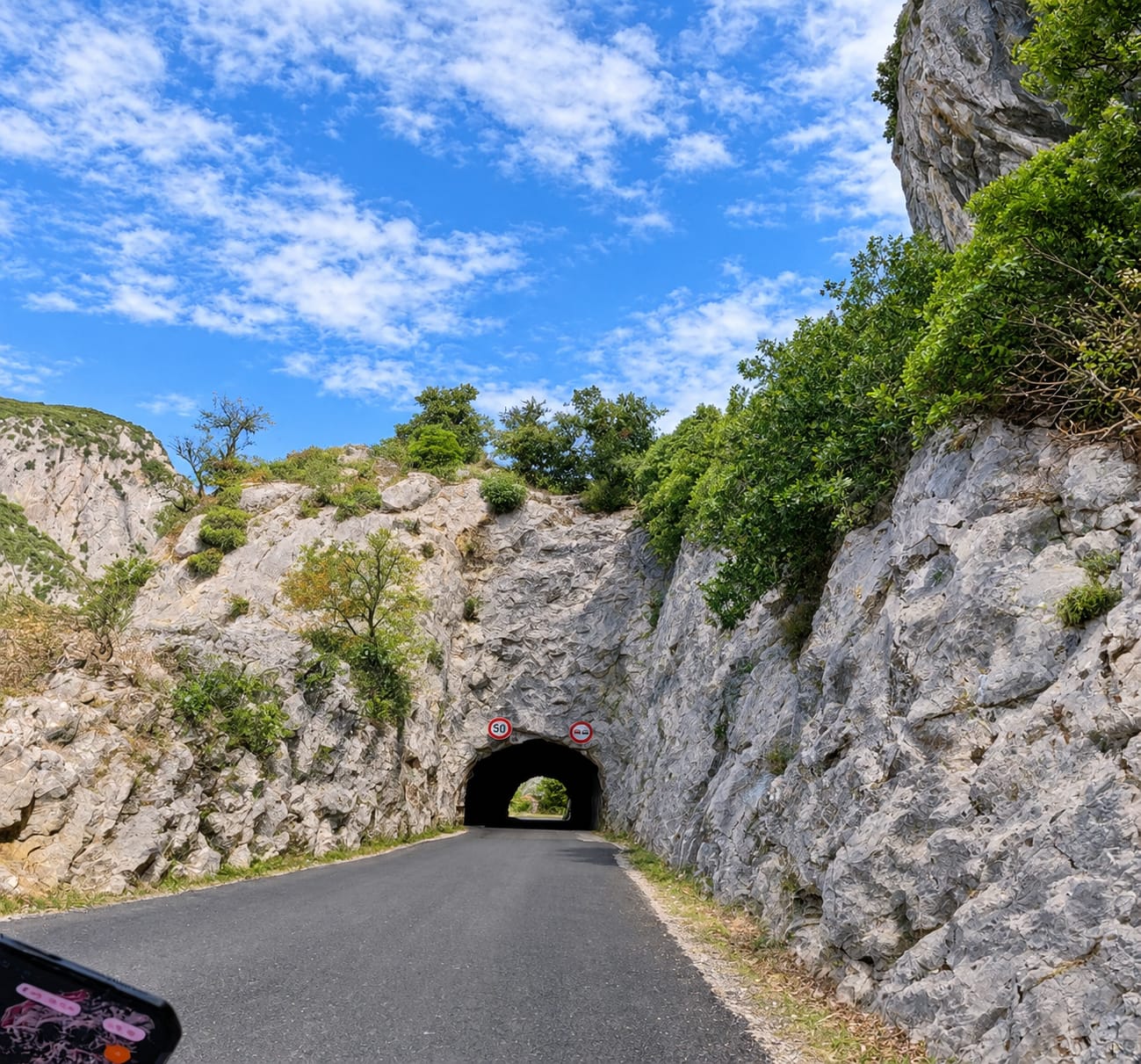
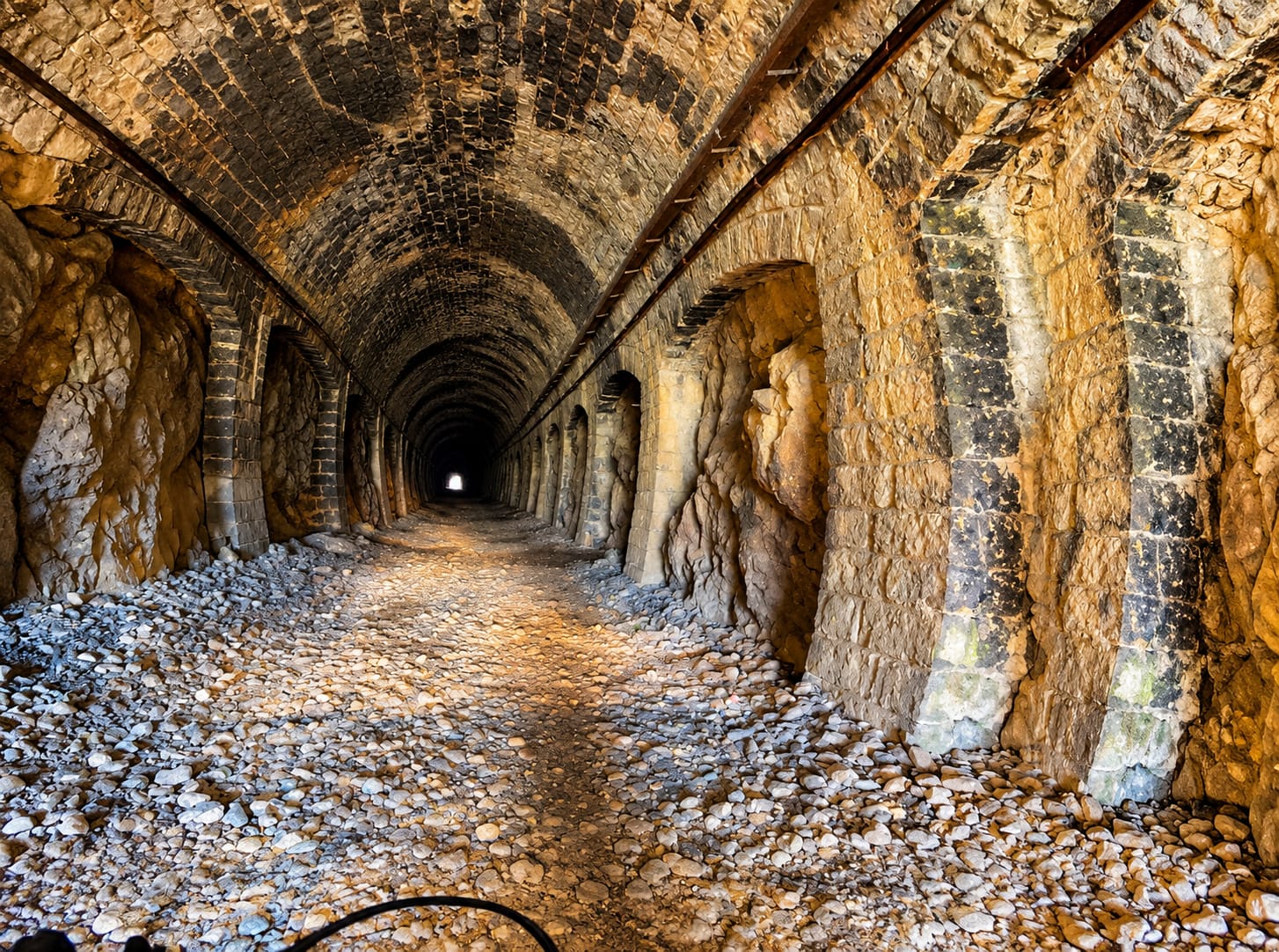
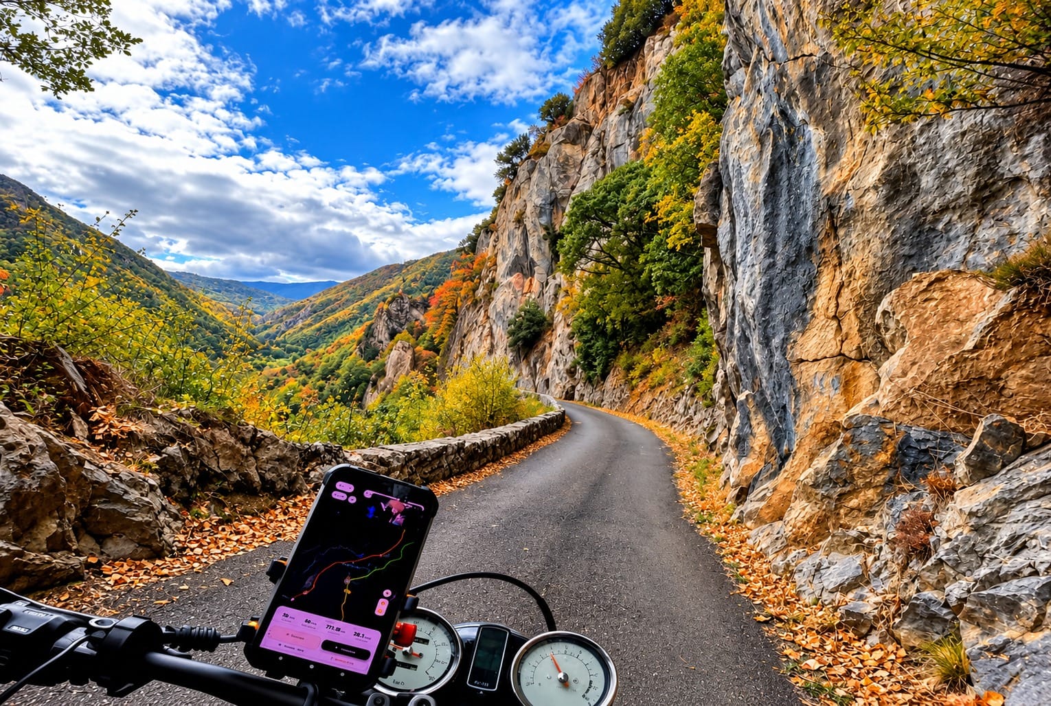
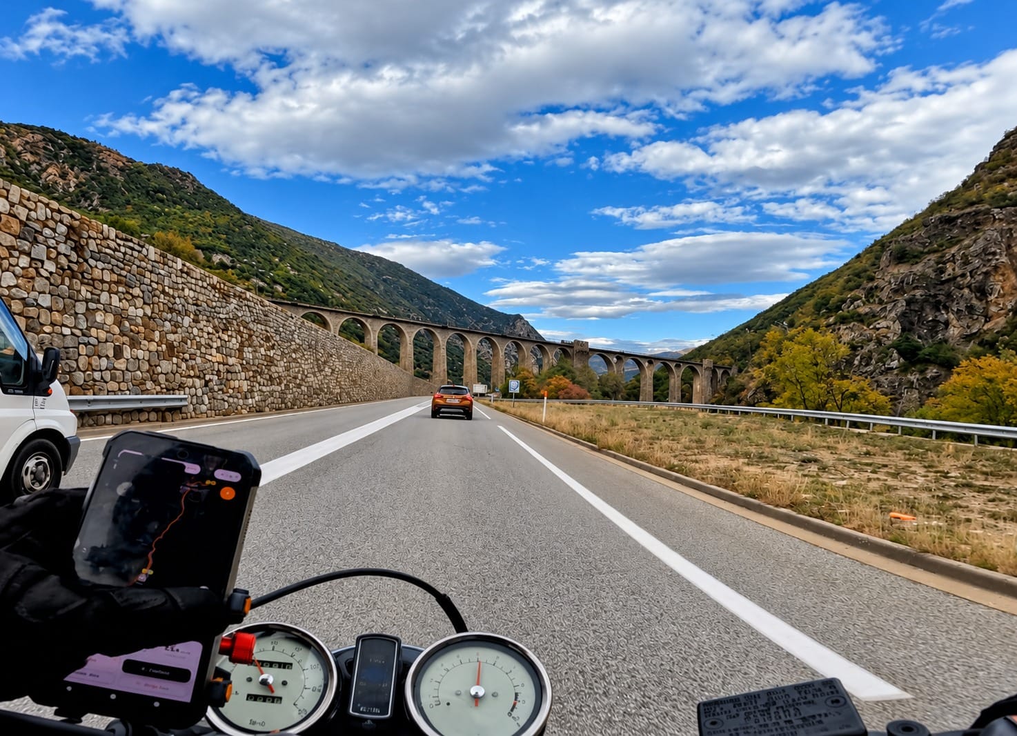
+2View gallery