

 Hiking
Distance16 km
Duration5h 40m
Elevation↑800 mMin. 6 m · Max. 630 m
DifficultyHard
TypeCircular
ProfileElevation
01About the route
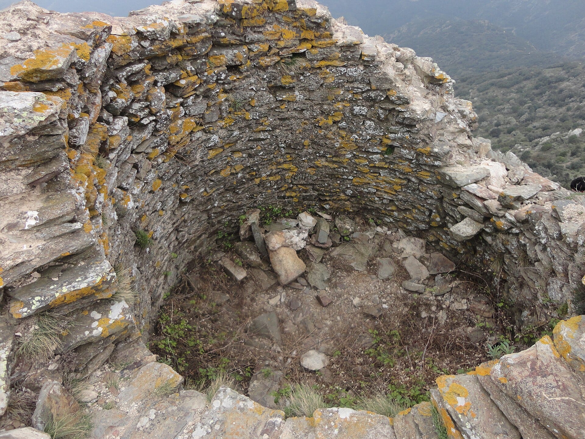
Itinerary 5 of Itinerànnia through the l'Albera area: from the Portbou tourist office, climb to the border ridge up to the ruins of Querroig castle, a medieval watchtower between the Empordà and the Rosselló (highest point of the itinerary: 615 m).
Circular return with views of the sea and the French coast.
Photos: Arnaugir (CC BY-SA 3.0), El Caro (CC BY-SA 4.0), Olga Gairin (CC BY-SA 3.0), velomartinez (CC BY-SA 3.0), Bertrand GRONDIN → (Talk) (CC BY-SA 3.0), Alan Mattingly (CC0 / public domain), Alan Mattingly (CC BY-SA 4.0).
Published on 22 October 2026
02Gallery · 9 photos
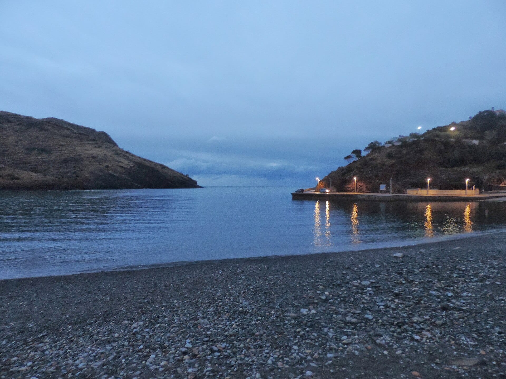 Waypoint · Salida: Portbou
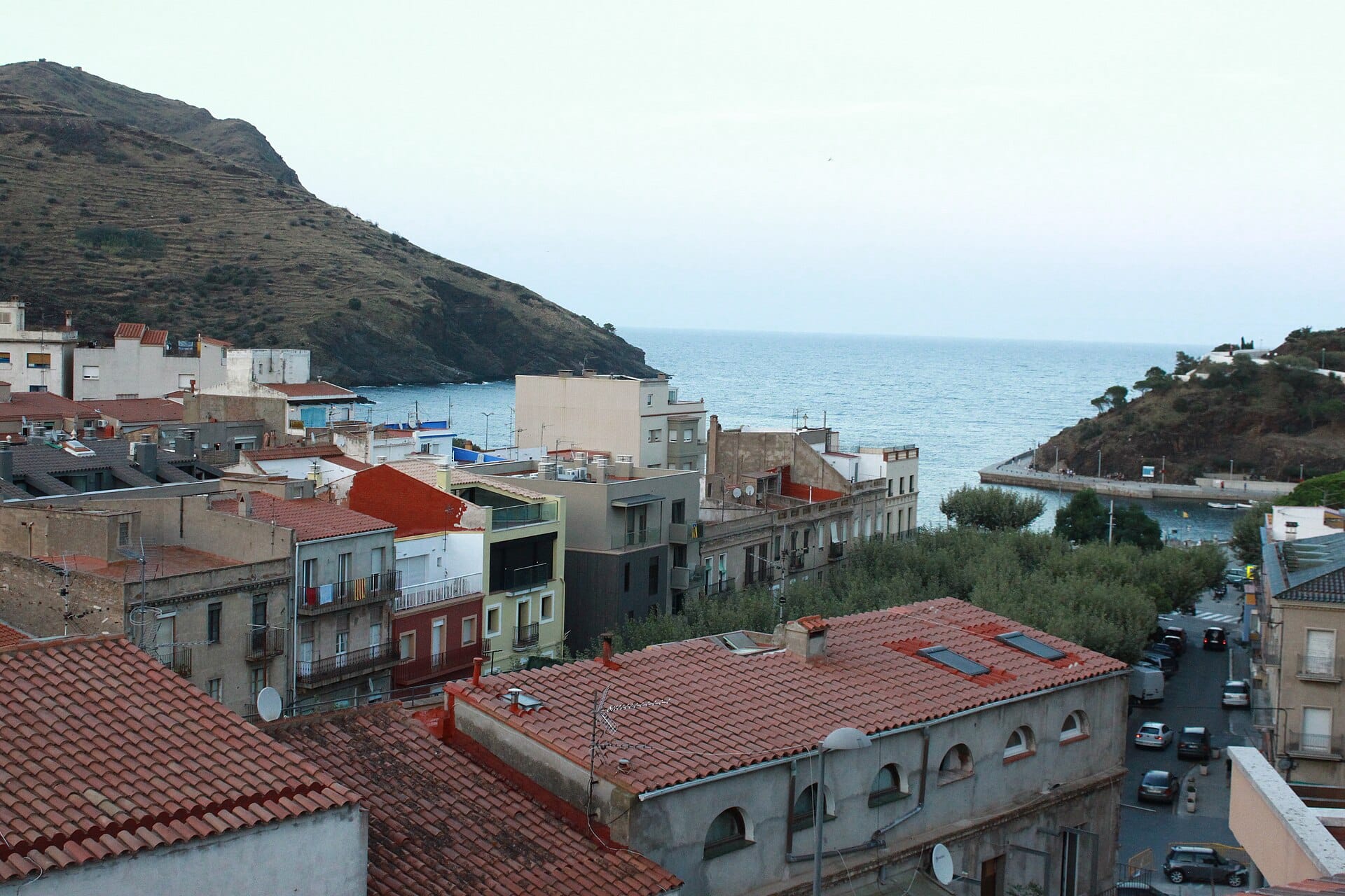 Waypoint · Salida: Portbou
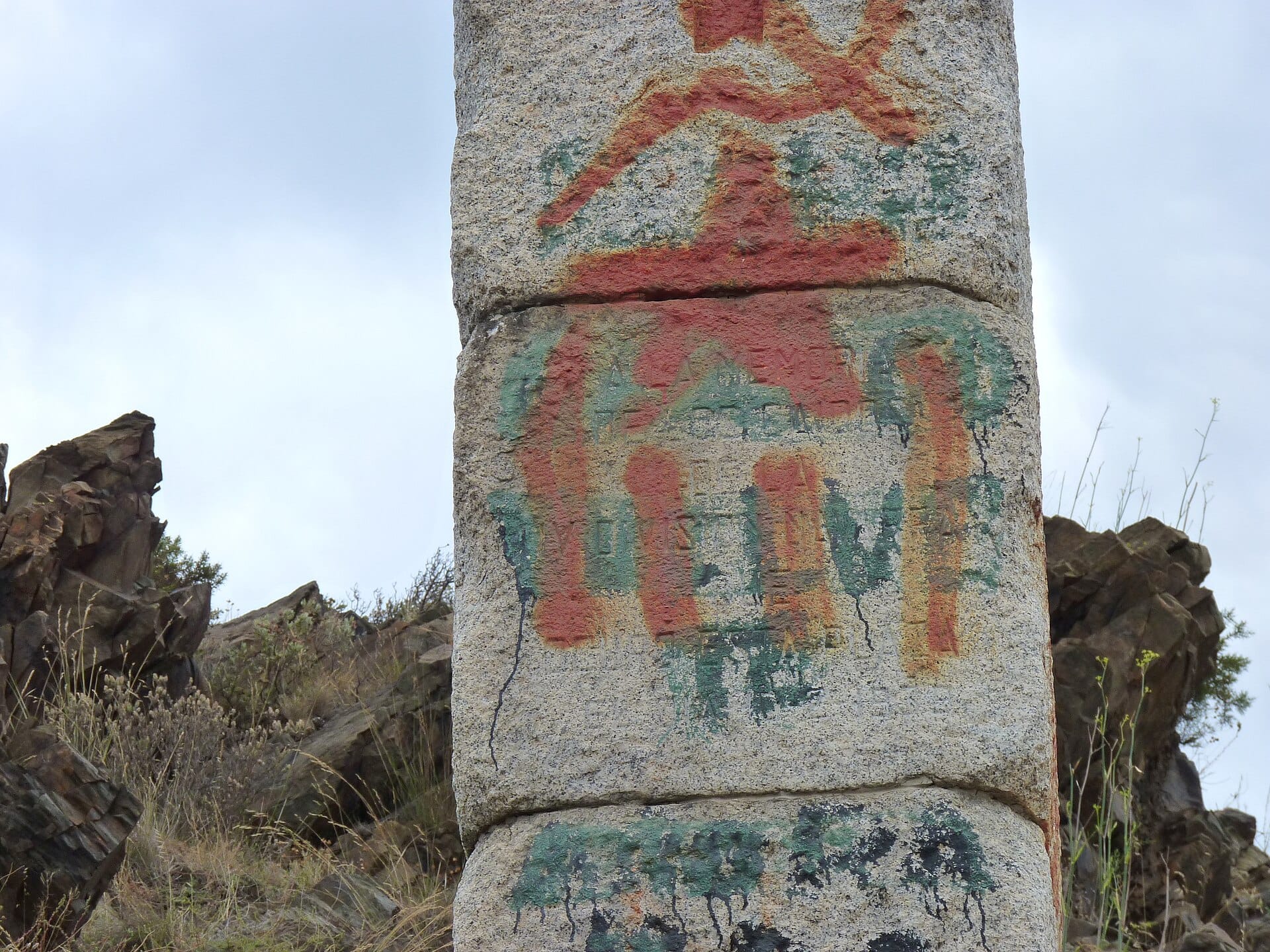 Waypoint · Coll dels Belitres
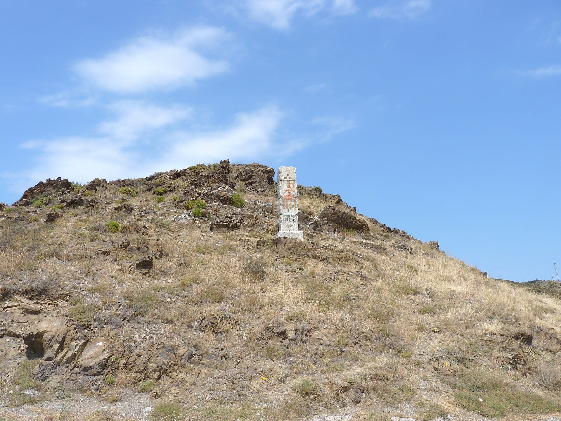 Waypoint · Coll dels Belitres
+4View gallery