

 Running
Distance16.36 km
Duration1h 49m
Elevation↑79 mMin. 38 m · Max. 101 m
DifficultyModerate
TypeRound trip
ProfileElevation
01About the route
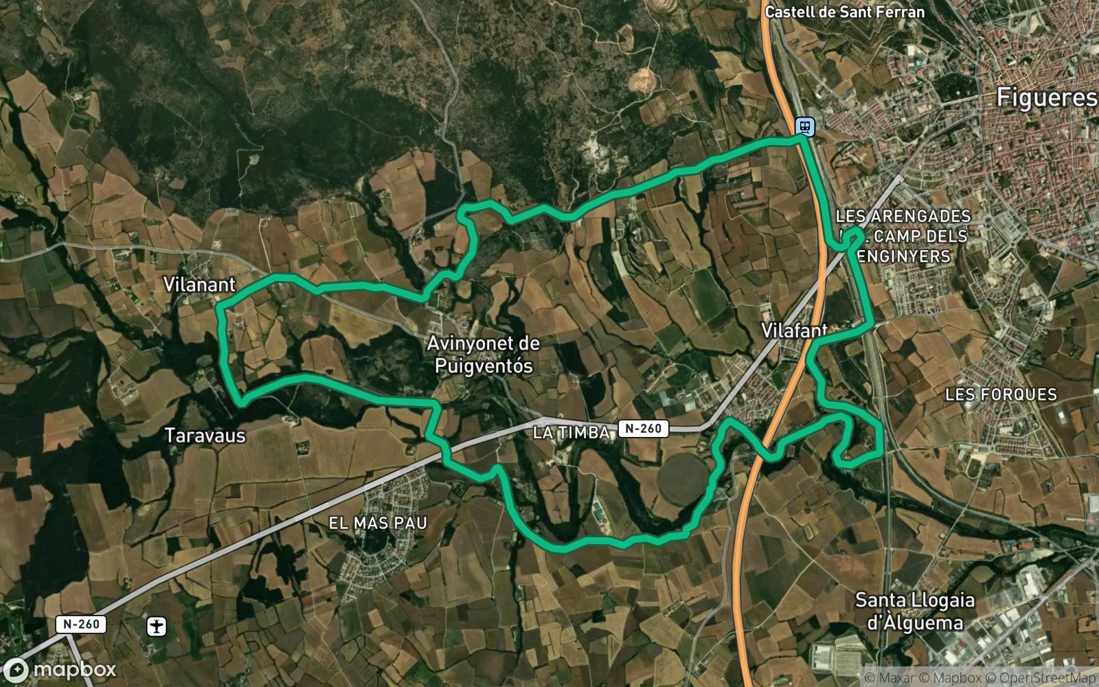
Circular route of 16.4 km and 350 m of positive elevation gain through Vilafant, Avinyonet de Puigventós and Vilanant.
Most of the route is along paths and dirt tracks. ZeroSignal spots on the route: L'engorjat del Rissec, Estanyols de Mas Margall, Ermita de Santa Eugènia and Alzina de la Font de Can Massanet.
Published on 3 November 2026