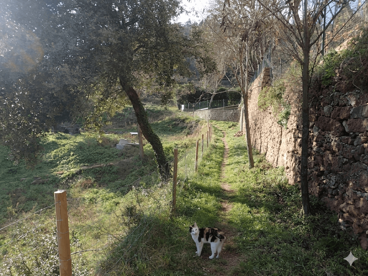

 Walking
Circular route to reach the Puig de la Balma starts next to the Mura Information Centre.
The trail crosses the riera de Nespres over small wooden footbridges and continues through holm oak and oak forests, passing points such as the Font de la Noguera, the waterfall on the riera, old wine vats carved into the rock and several viewpoints with views of the valley and the farmhouse itself, set into the mountain. As well as offering rural accommodation, the Puig de la Balma has a 14th-century chapel, an ethnographic museum with old tools used by the family generation after generation, and several dining rooms set in historic spaces such as the old charcoal kiln and the old bread oven. After the hike, many visitors take the chance to go back to Mura and stroll its medieval stone streets, one of the great attractions of the interior of the province of Barcelona during the spring.
Published on 12 May 2026