

 Walking
Distance20.87 km
Duration6h 47m
Elevation↑1180 mMin. 277 m · Max. 1312 m
DifficultyHard
TypeCircular
ProfileElevation
01About the route
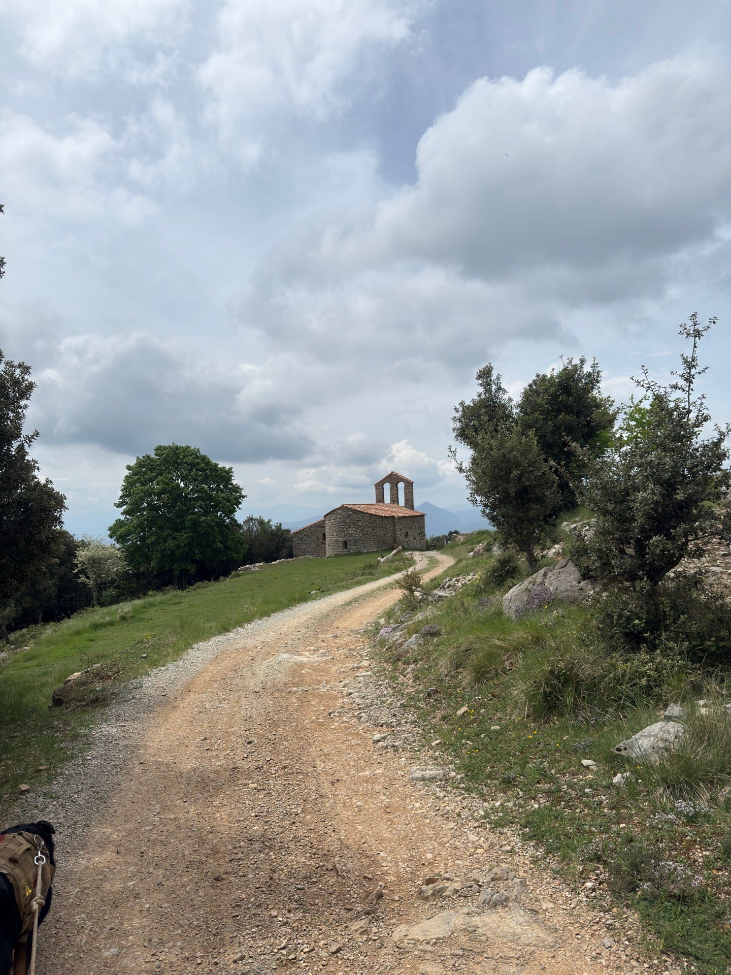
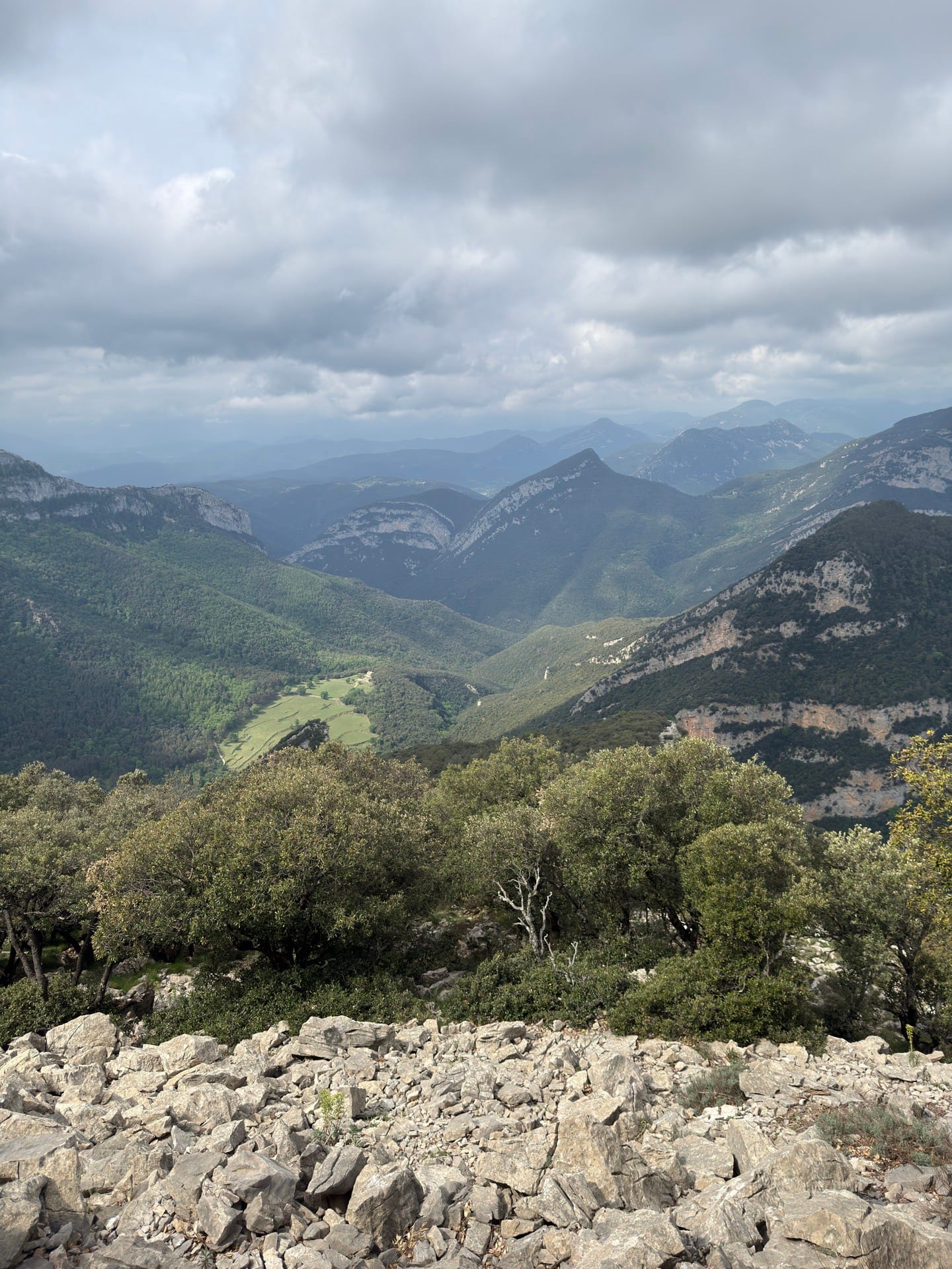
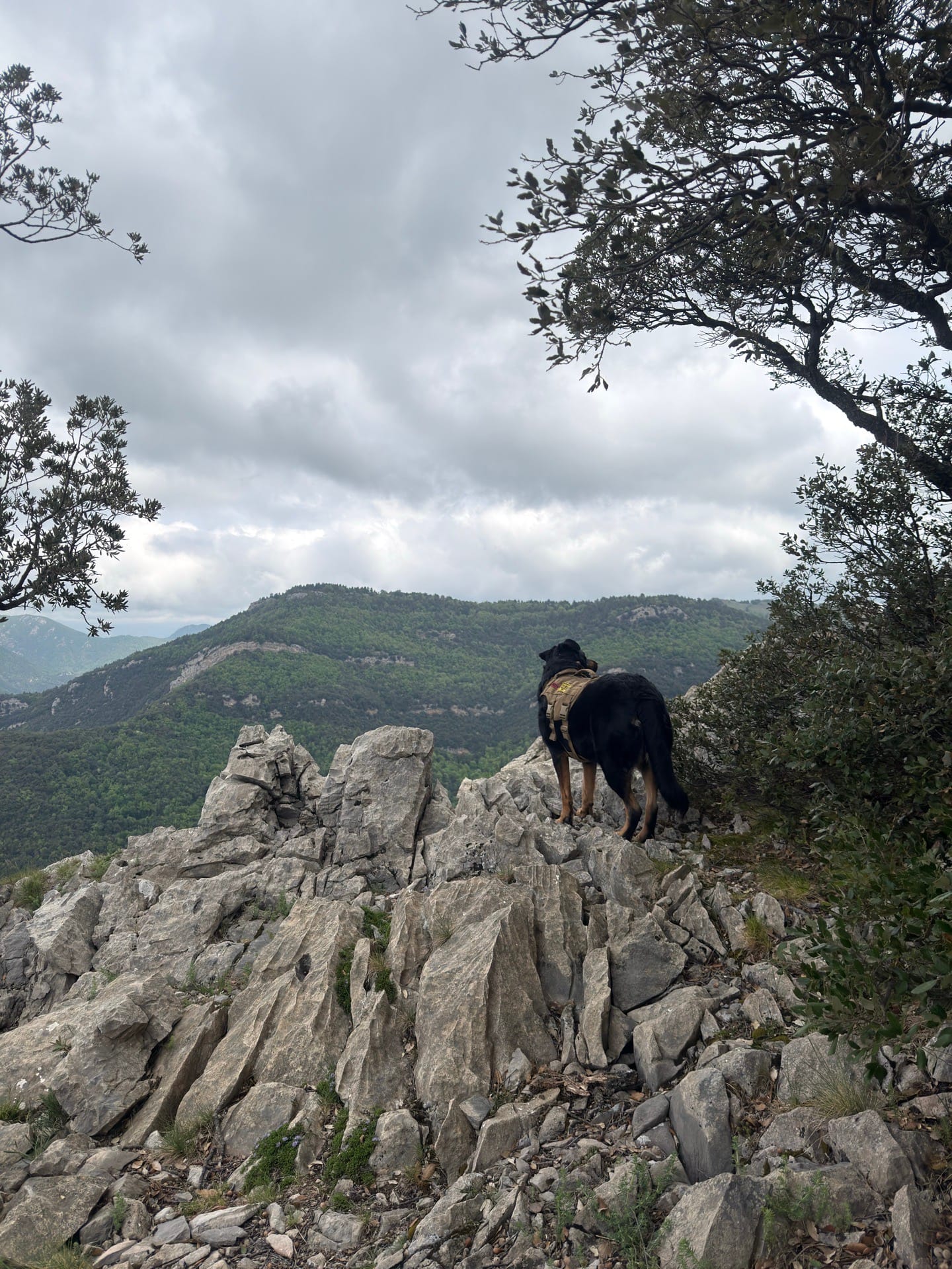
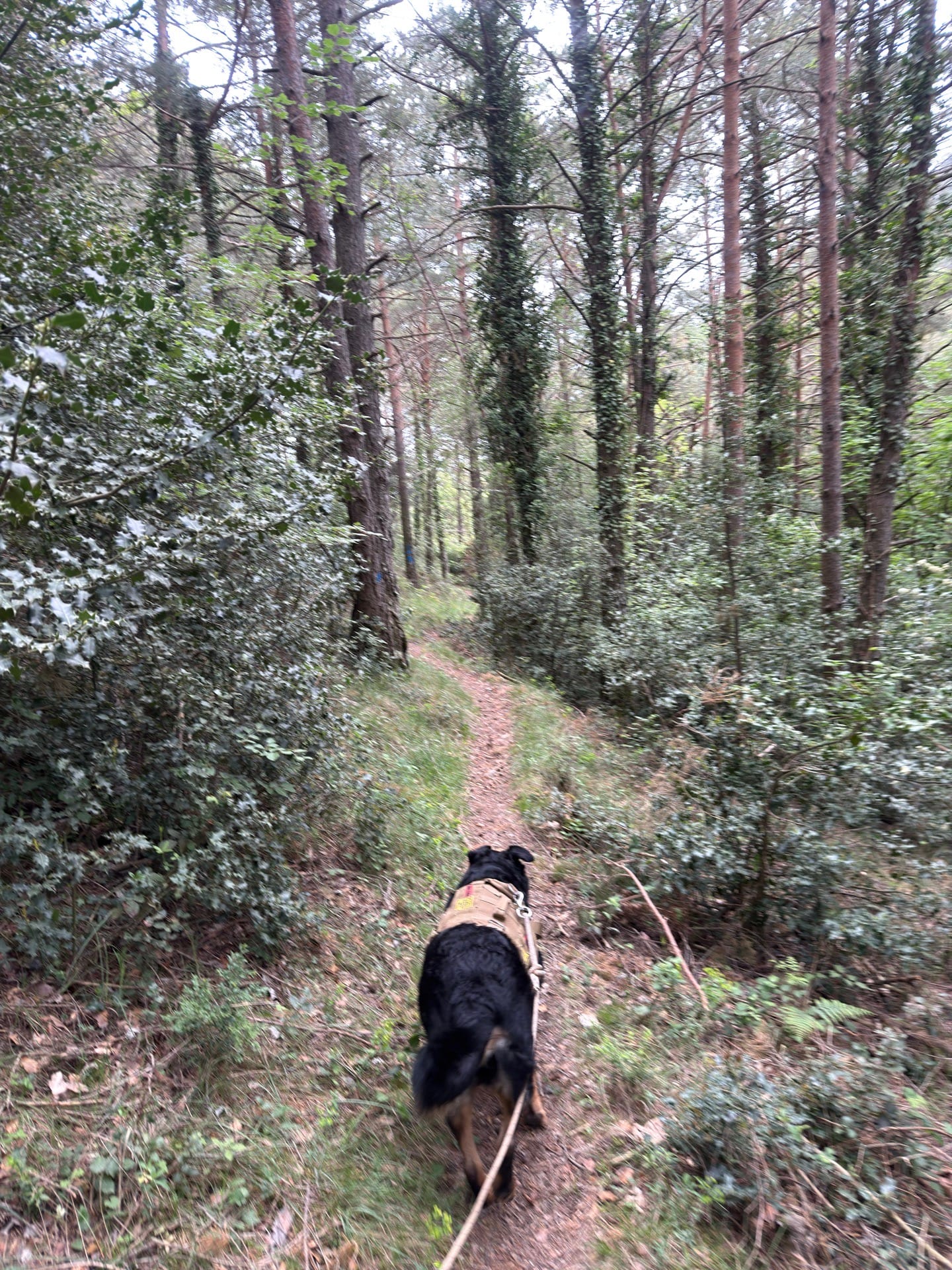
Route from sadernes to the bassegoda and back in a circular format.
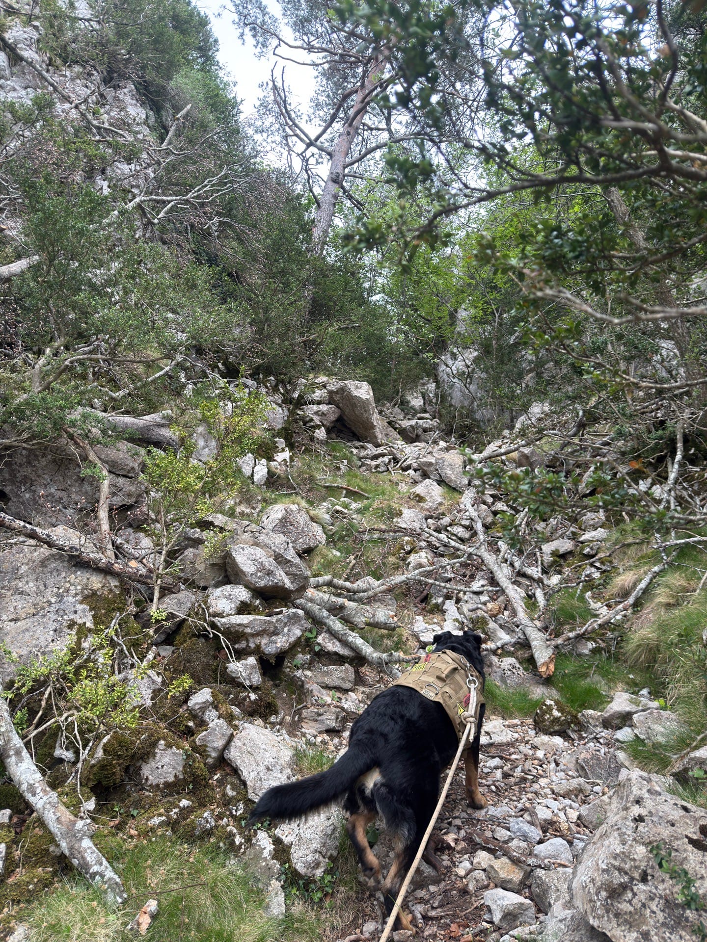
It's totally feasible to go out and back by the same way. It's a beautiful but demanding route and I recommend setting out early. There are difficult points, both physically and mentally. Be very careful with the scree coming down from the bassegoda, it's very treacherous. It was my fault that the app closed and I lost the moving time, but it's close to the total time.
Published on 1 May 2026
02Gallery · 10 photos
+5View gallery