

 Hiking
Distance18.43 km
Duration4 h 10 min
Elevation↑642 mMin. 277 m · Max. 771 m
DifficultyModerate
TypeCircular
ProfileElevation
01
Practical information
Directions
Checked against 9 official sources on September 23, 2026
- Reserva prèvia aparcament (Sadernes i Pont del Llierca) · Consorci de l'Alta Garrotxa
- Sant Aniol d'Aguja: Sadernes, Pont d'en Valentí, Resclosa del Gomarell, Sant Aniol d'Aguja (itinerari 1) · Consorci de l'Alta Garrotxa
- Regulacions d'activitats de lleure a l'Alta Garrotxa · Consorci de l'Alta Garrotxa
- Itinerari 01: Sadernes - Sant Aniol d'Aguja (fulletó 2022) · Consorci de l'Alta Garrotxa
- Normes i recomanacions · Consorci de l'Alta Garrotxa
- Bones pràctiques: Sector de Sadernes i la Vall de Sant Aniol · Consorci de l'Alta Garrotxa
- Informació bàsica i tarifes del refugi · Refugi de Sant Aniol
- El refugi de Sant Aniol ja compta amb una web per fer reserves · Consorci de l'Alta Garrotxa
- Refugi de Sant Aniol (portada) · Refugi de Sant Aniol
There is no mobile coverage here. Save this place and download the area map in the app before you go.
02
What Jordi 90 says
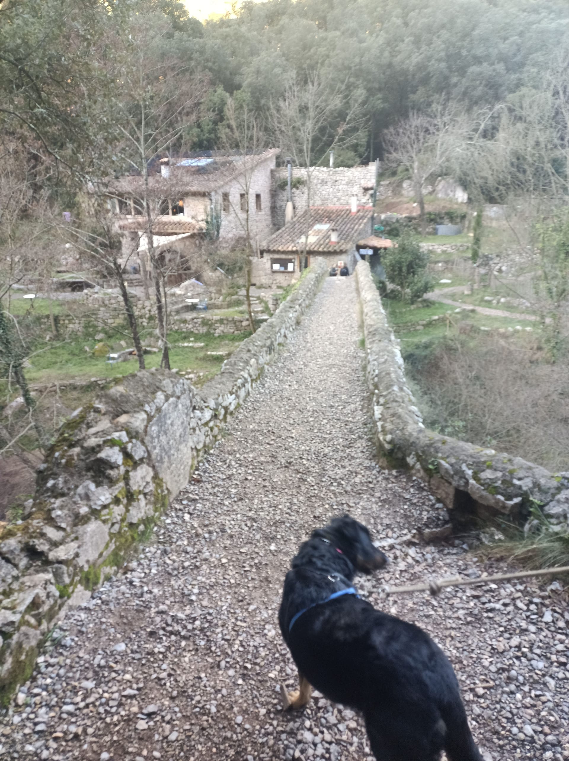
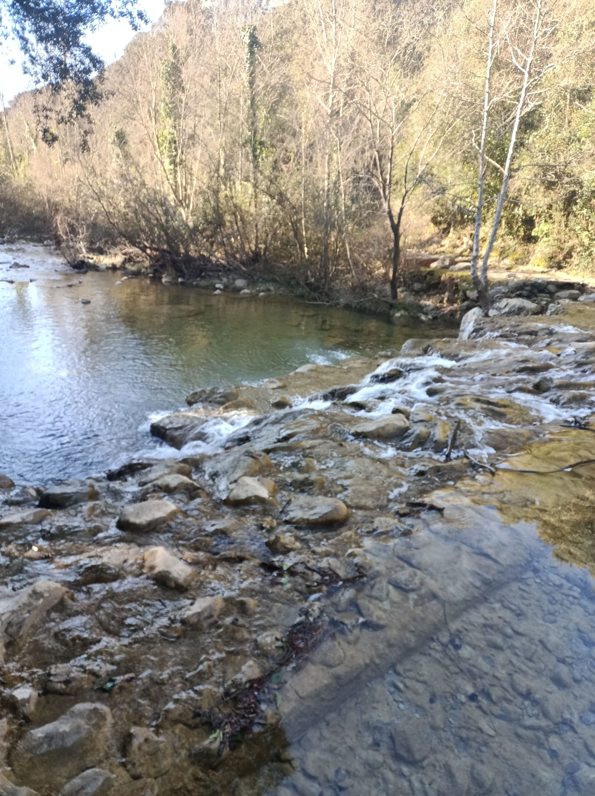
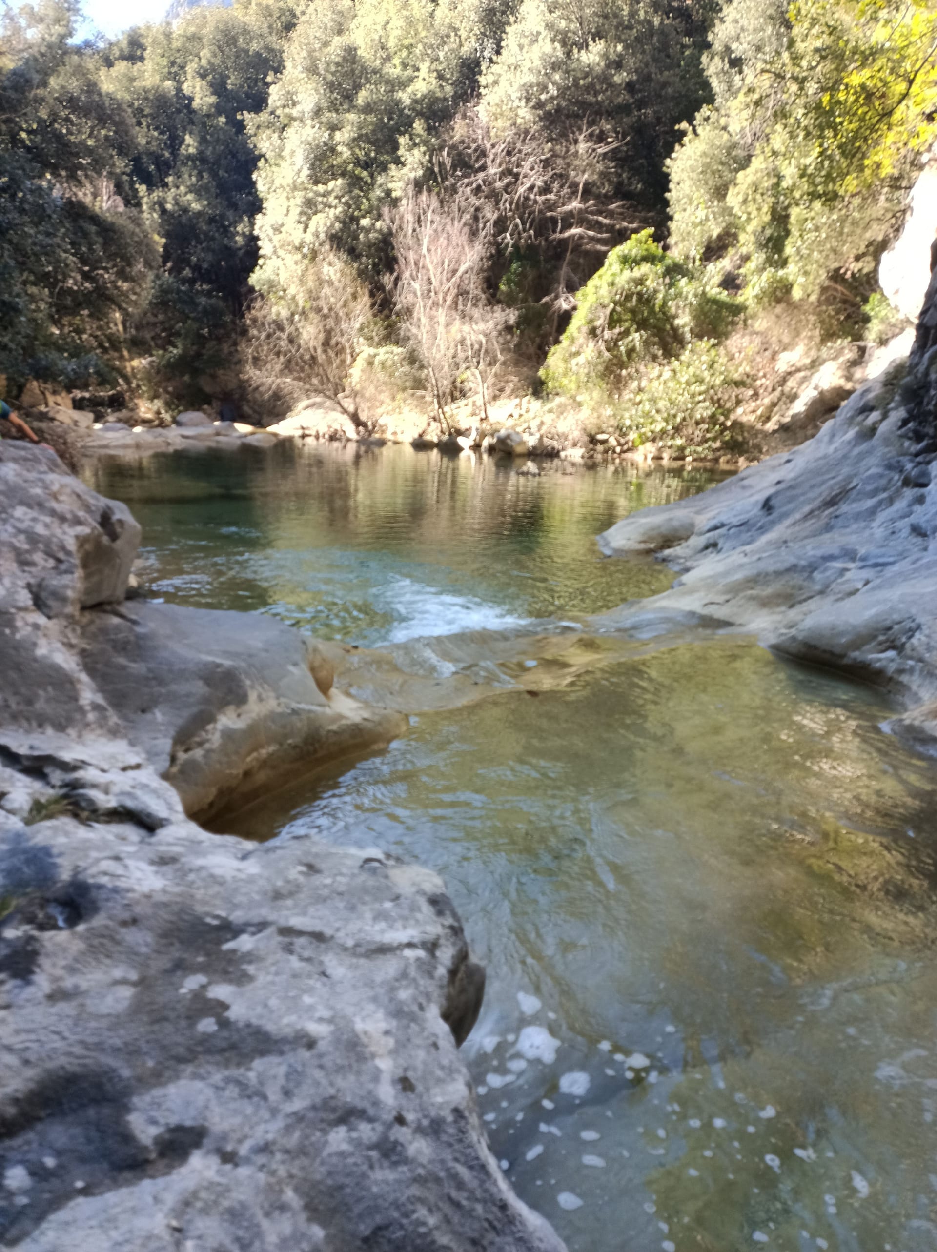
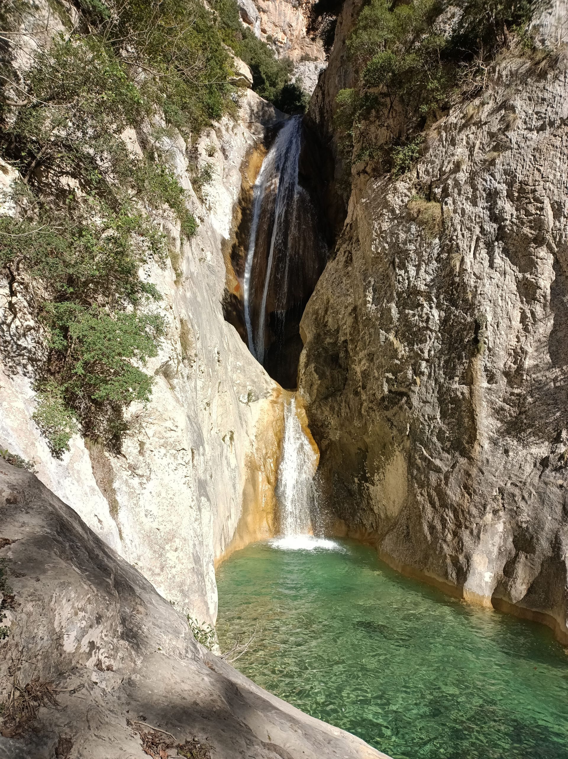
Sadernes, Sant Aniol, Blue Gorge, Brull Falls, Leixa Closa Hole, Sadernes
Published on 18 March 2026
03Gallery · 11 photos

+6View gallery