

 Hiking
Distance6.54 km
Duration2 h 28 min
Elevation↑381 mMin. 167 m · Max. 543 m
DifficultyModerate
TypeCircular
ProfileElevation
01
Practical information
Directions
Checked against 4 official sources on September 27, 2026
- La Vall de Santa Creu (itinerari 10) · Parc Natural de Cap de Creus (Generalitat de Catalunya)
- Track KML de l'itinerari 10 (surt de l'aparcament de Santa Helena) · Parc Natural de Cap de Creus (Generalitat de Catalunya)
- Conjunt monumental de Sant Pere de Rodes: horaris i tarifes · Agència Catalana del Patrimoni Cultural (Generalitat de Catalunya)
- Itineraris terrestres · Parc Natural de Cap de Creus (Generalitat de Catalunya)
02
What Avery Lopez says
Discover a circular route combining history, nature and sweeping views of the Cap de Creus.
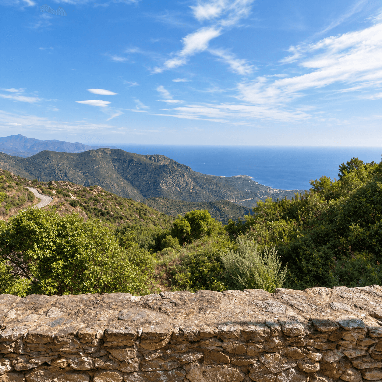
Starting from the monastery of Sant Pere de Rodes, the path descends to the peaceful Vall de Santa Creu and climbs again via the Coll del Perer, passing old paths, dry-stone huts and corners steeped in history. A varied route with spectacular views over Port de la Selva and one of the most emblematic landscapes of the Alt Empordà.
Published on 14 September 2026
03Gallery · 5 photos
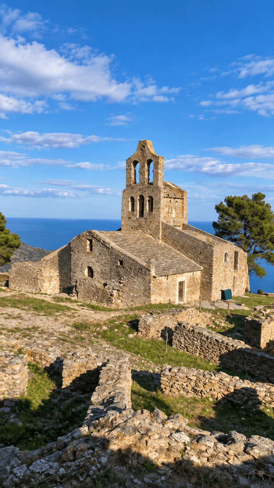 Waypoint · Santa Elena de Rodes
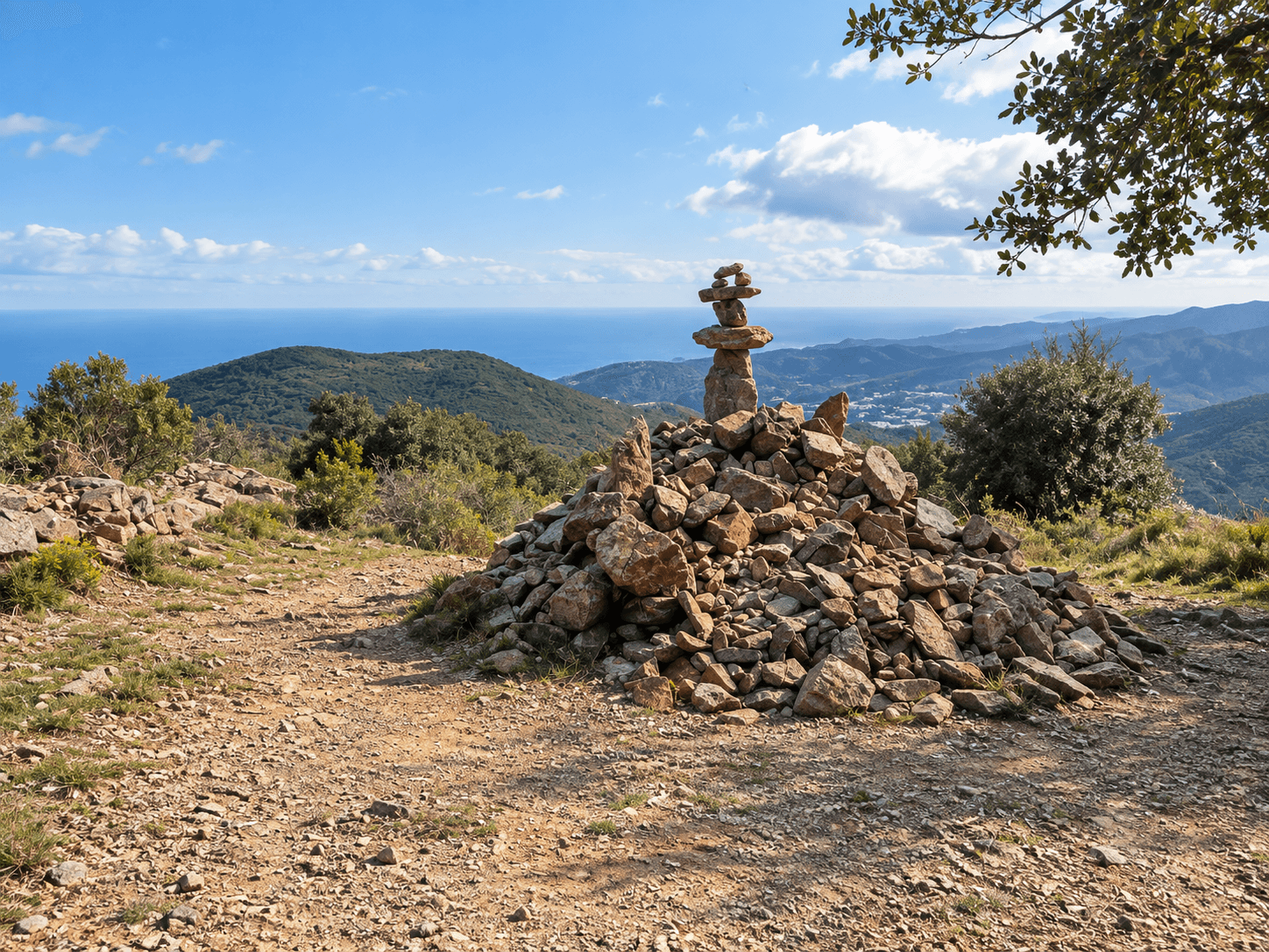 Waypoint · Vistes
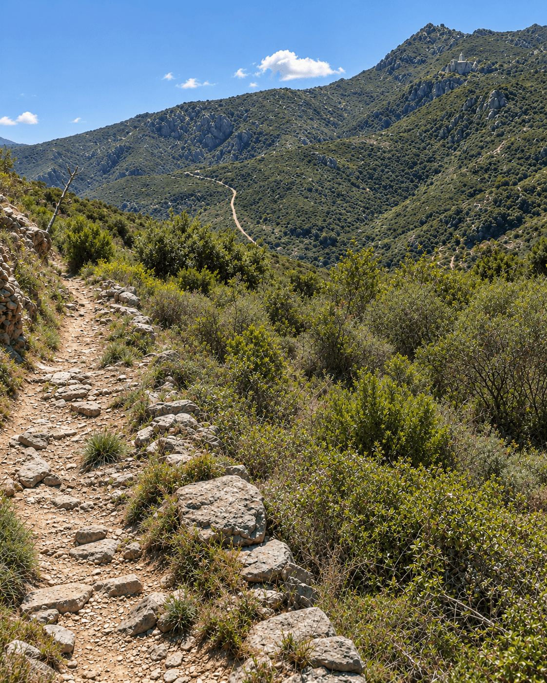 Waypoint · Sender
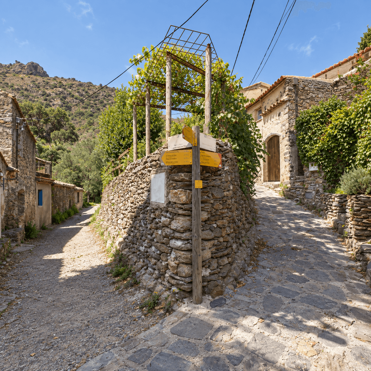 Waypoint · Direcció Port de la Selva
 Waypoint