

 Hiking
Distance12 km
Duration5h 20m
Elevation↑893 ↓893 mMin. 1186 m · Max. 2027 m
DifficultyHard
TypeOne way
ProfileElevation
01About the route
It follows the old camí ral from Ribes to Ogassa through the village of Bruguera (1,200 m) to reach the summit of the Taga (2,040 m), the highest peak of the serra Cavallera.
Out and back along the same route.
Photos: jordi domènech (CC BY-SA 3.0), Pere López (CC BY-SA 3.0), Scs1978 (CC BY-SA 3.0), Toni Pérez Padilla (CC BY-SA 4.0), EliziR (CC BY-SA 3.0).
Published on 23 October 2026
02Gallery · 7 photos
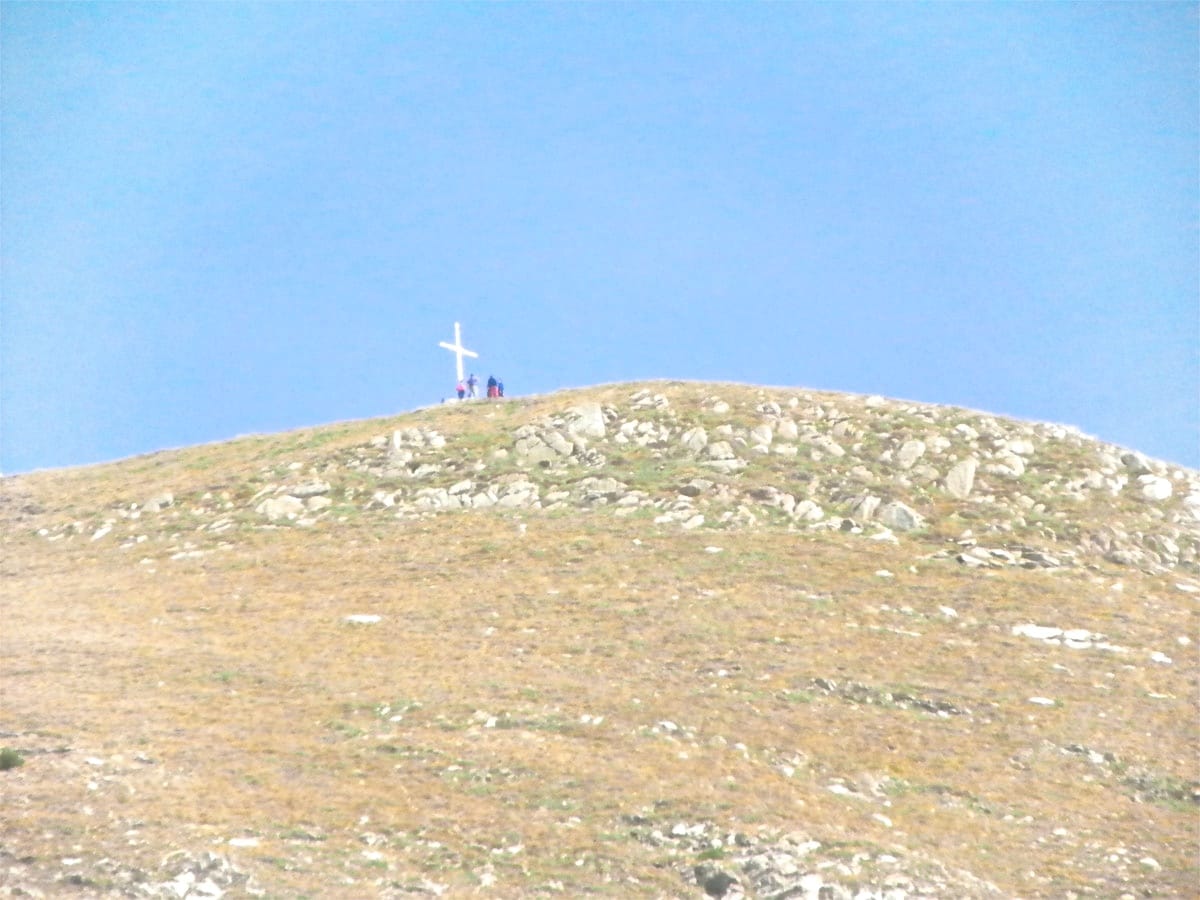
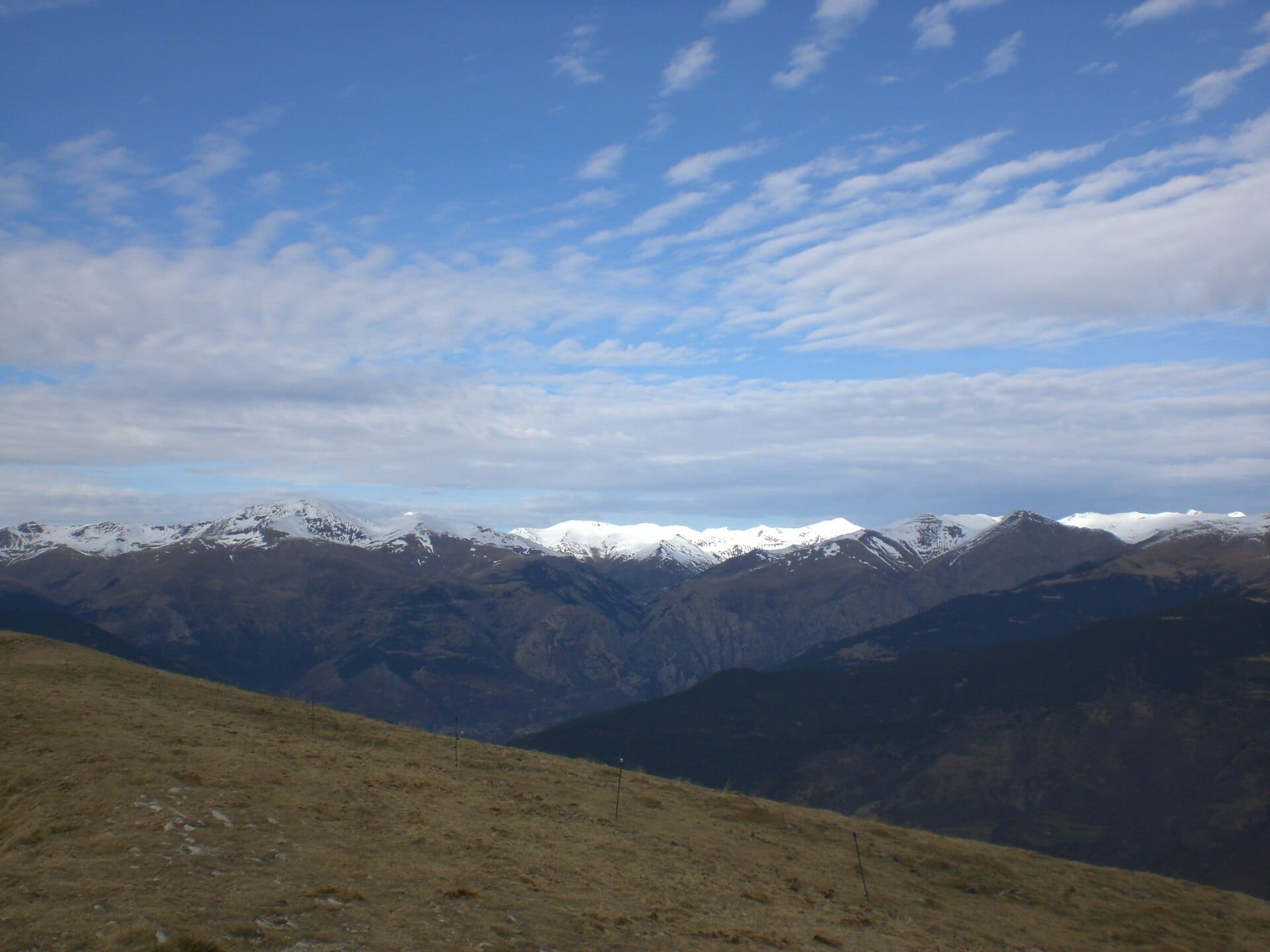 Waypoint · Taga (cima y cruz)
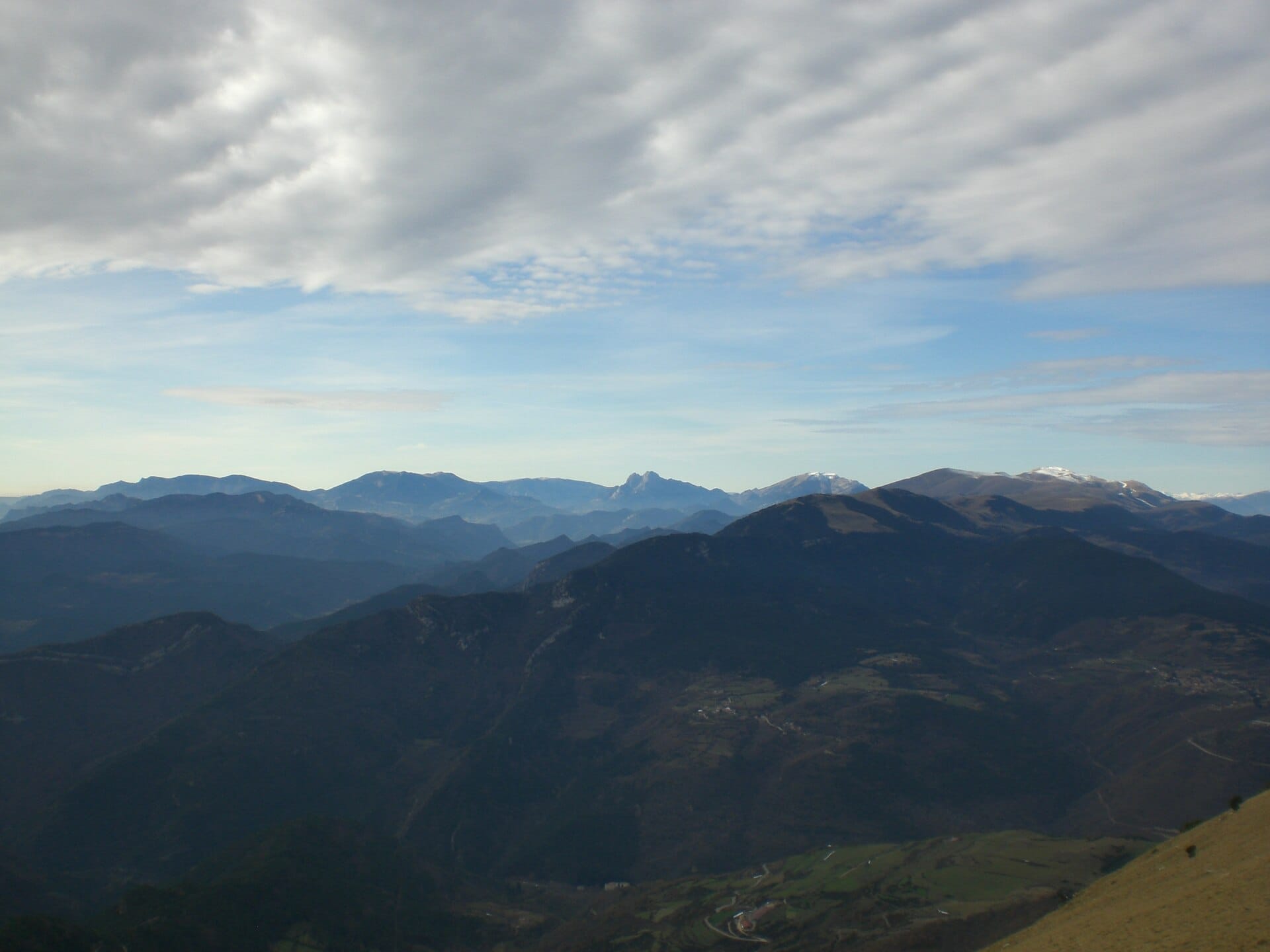 Waypoint · Taga (cima y cruz)
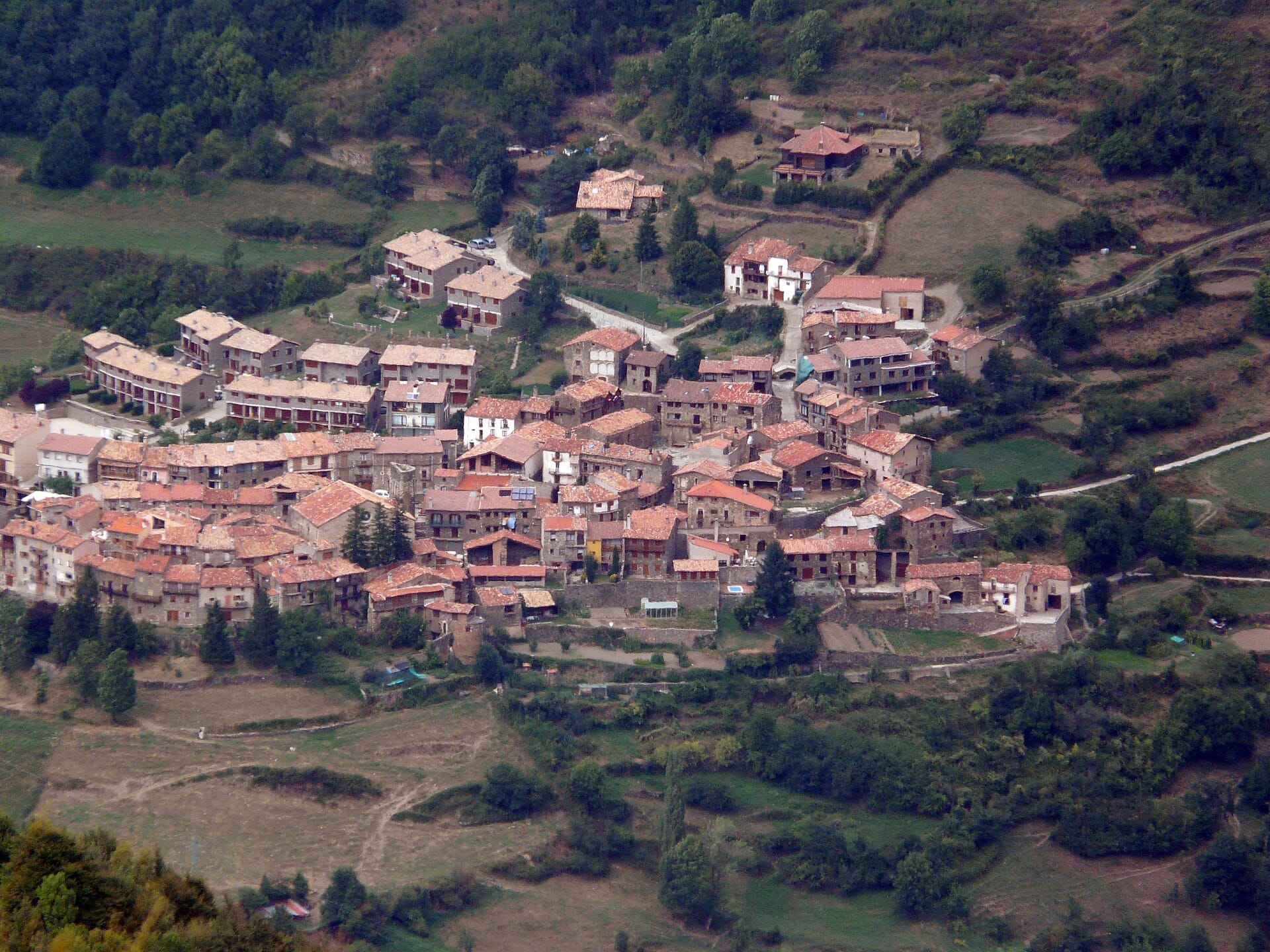 Waypoint · Taga (cima y cruz)
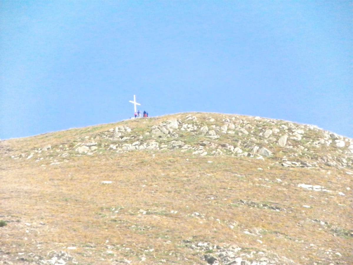 Waypoint · Coll de Jou
+2View gallery