

 Hiking
Distance13.24 km
Duration2h 43m
Elevation↑103 mMin. 879 m · Max. 949 m
DifficultyModerate
TypeRound trip
ProfileElevation
01About the route
A 13.2 km out-and-back route with 100 m of elevation gain through Alhama de Granada, Alcaucín, and Periana.
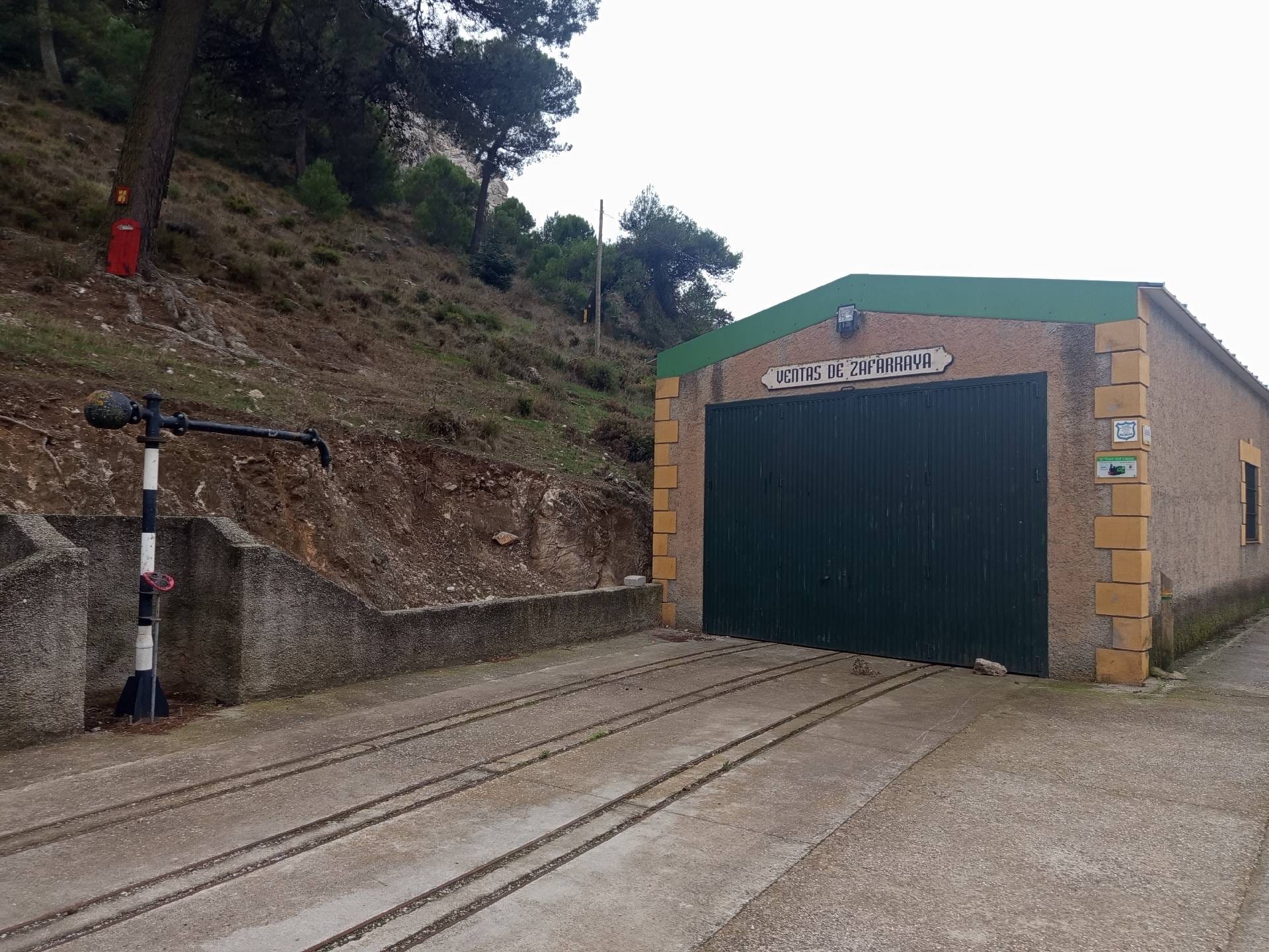
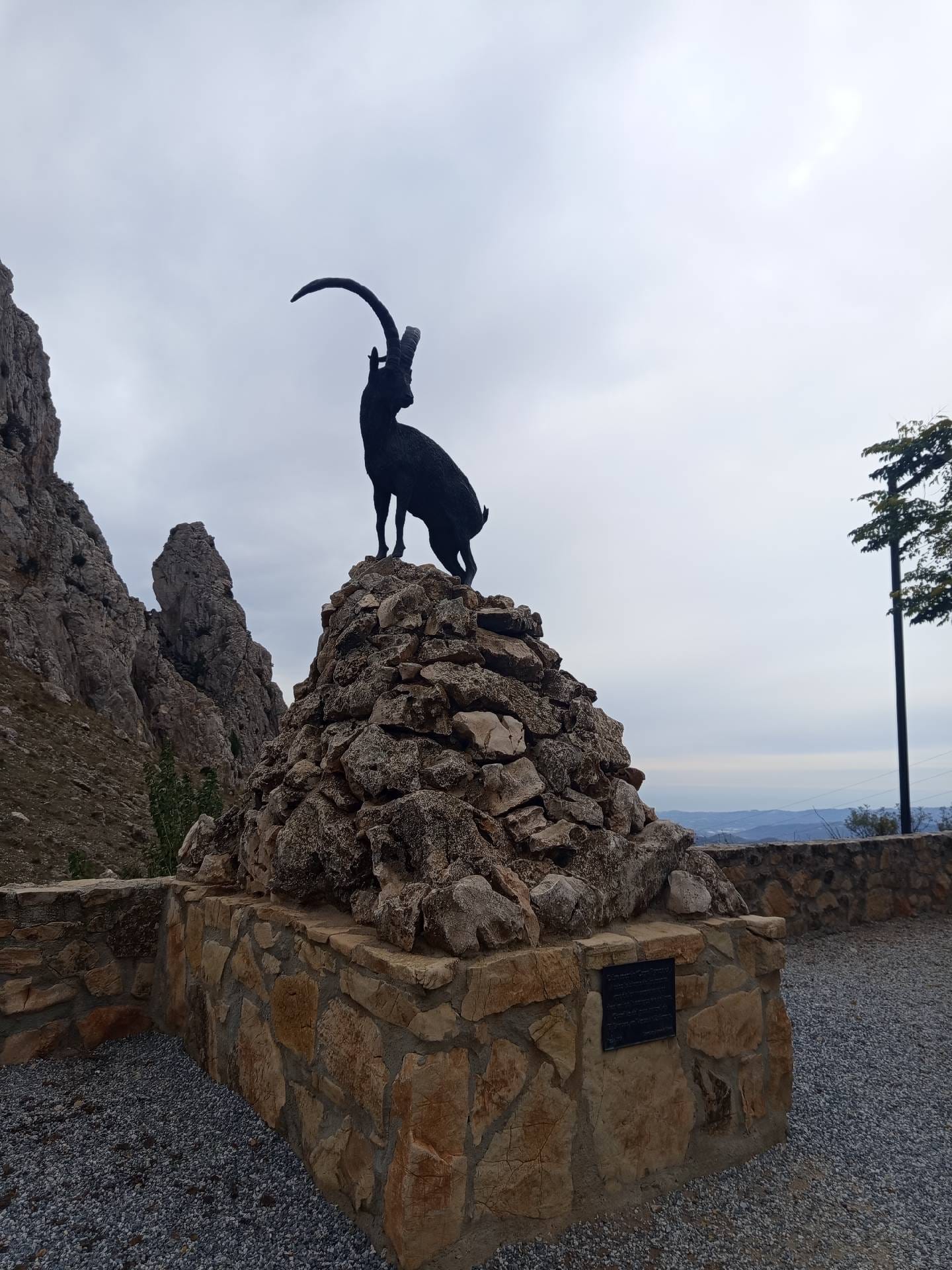
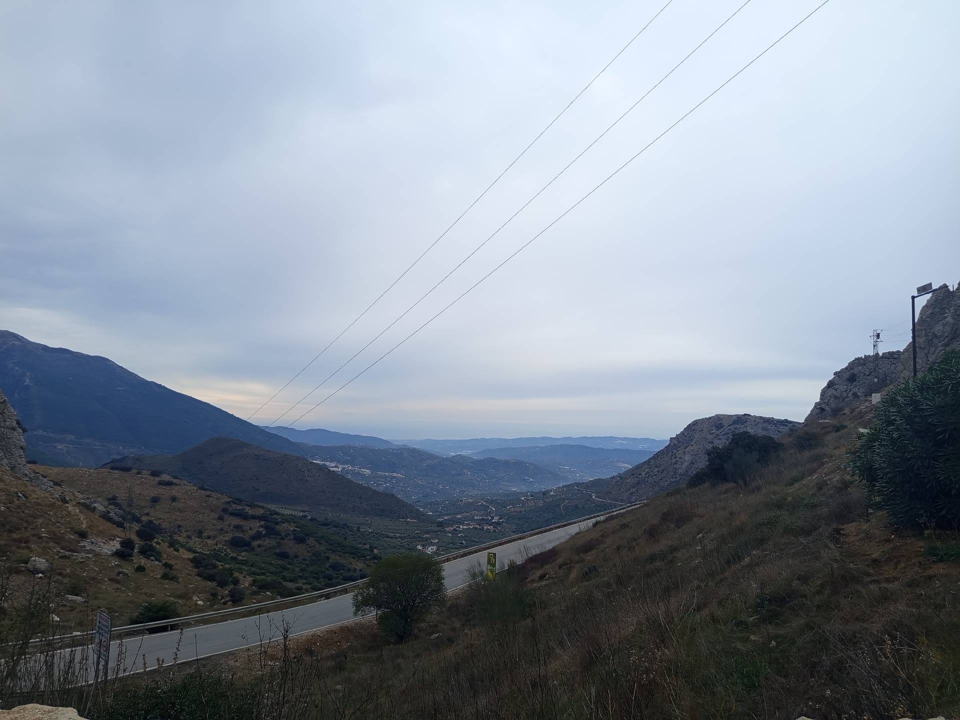
It climbs to Cerro López (929 m), crosses Boquete de Zafarraya (919 m) and Puerto de Zafarraya (916 m), and passes at the foot of Cerro Quintero (964 m), with views from Mirador El Boquete. Along the way, you'll find Fuente del Cortijo Carrión.
Published on 8 November 2026
02Gallery · 6 photos
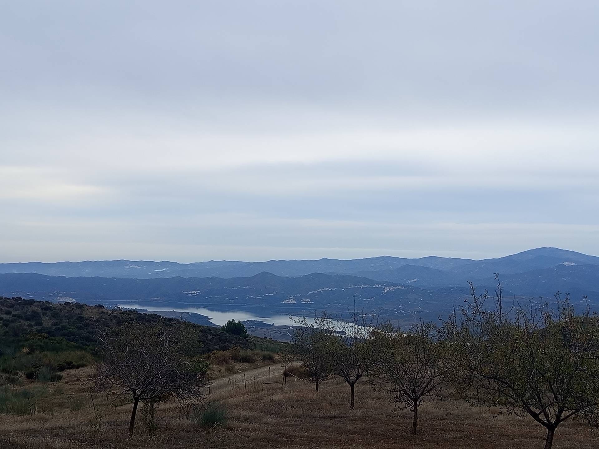
+1View gallery