
 Hiking
Distance3.70 km
Duration1h 27m
Elevation↑26 mMin. 2092 m · Max. 2693 m
DifficultyModerate
TypeRound trip
ProfileElevation
01About the route
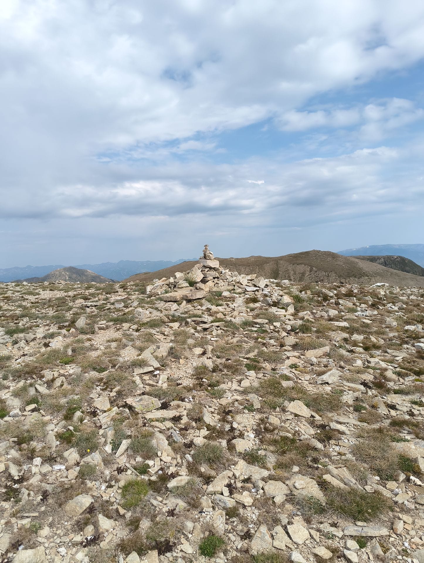
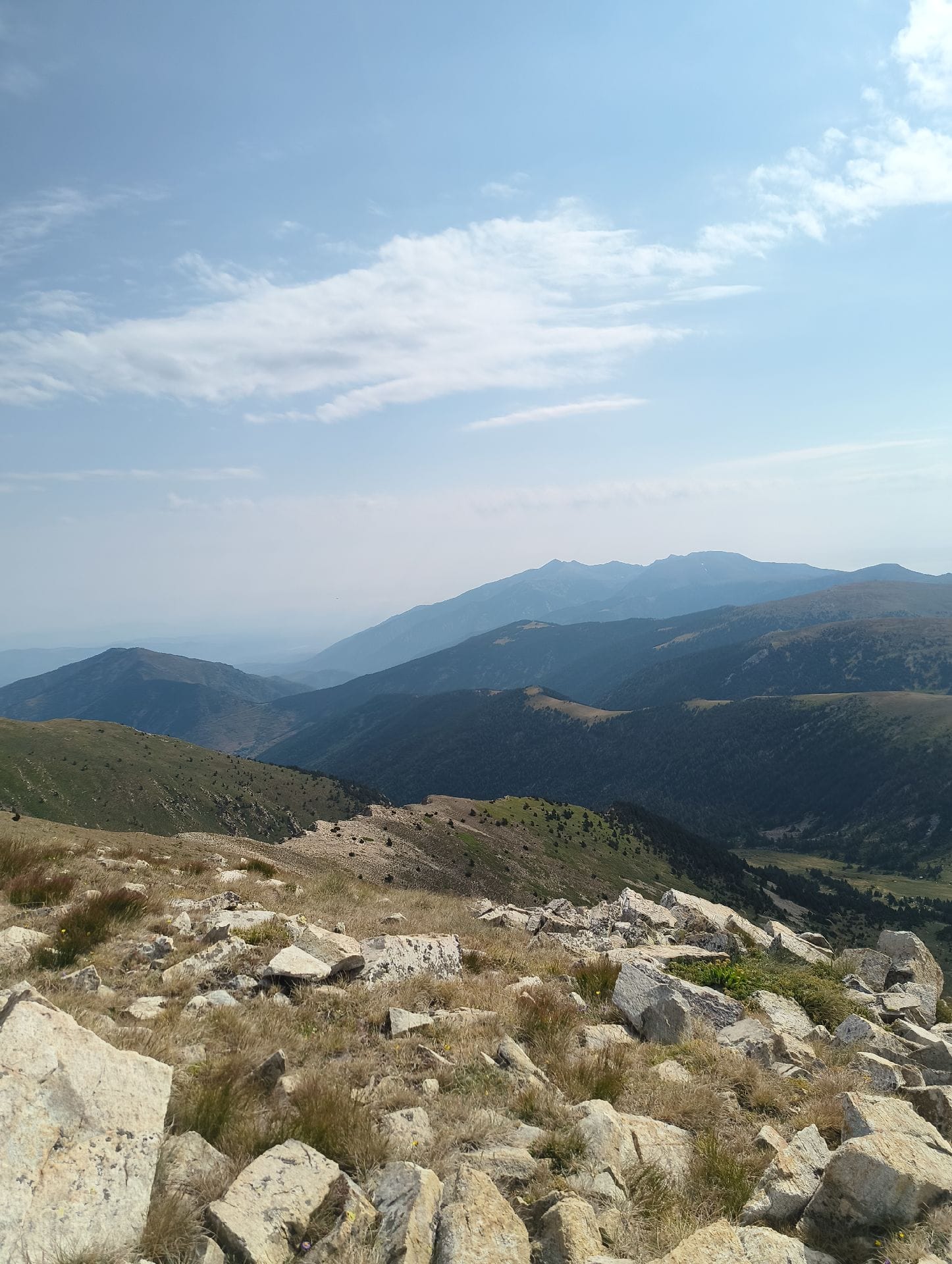
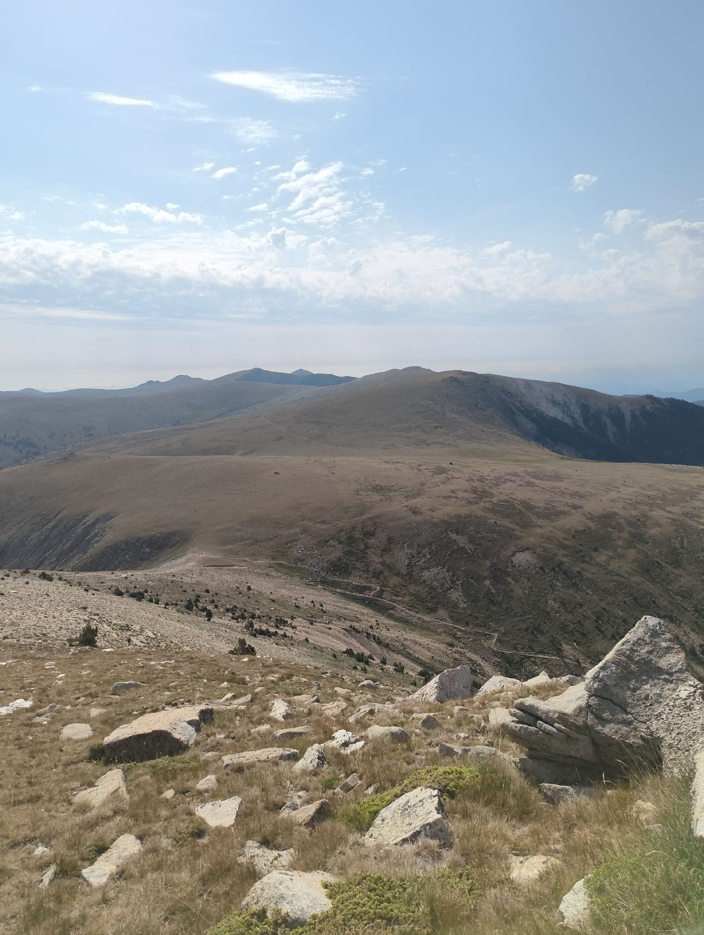
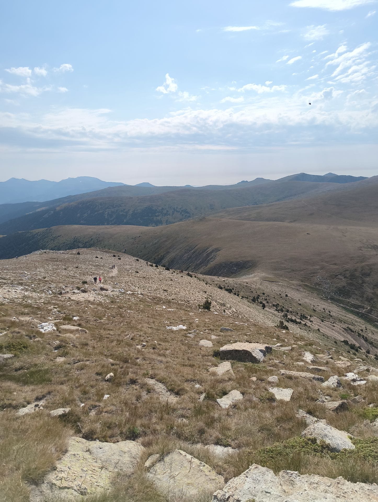
Perfect route for a boring weekend.
It's also the start of the traditional Olla de Vallter route, suitable for kids, dogs and older people. I forgot to record at the beginning, so it comes out to about 6km in total.
Published on 11 July 2026
02Gallery · 4 photos