

 Gravel
Distance59 km
Duration4h 30m
Elevation↑323 ↓686 mMin. 68 m · Max. 600 m
DifficultyModerate
TypeOne way
ProfileElevation
01About the route
Vía verde sobre el antiguo trazado del tren de vía estrecha Olot–Girona: sube suavemente al Coll d'en Bas (589 m) y baja por la vall d'Hostoles, Amer y el valle del Ter hasta Girona (68 m), con firme de sauló compactado y pendiente media del 1,5%.
Estaciones con servicios y conexión con el Carrilet II.
Fotos: Pitxiquin (CC BY-SA 4.0), Josep Maria Viñolas Esteva (CC BY-SA 4.0), Angelina2020 (CC BY-SA 4.0), Jordi Gili (CC BY-SA 4.0), Xevi Pinsach (CC BY-SA 4.0), Manchesterunited1234 (CC BY-SA 4.0).
Published on 23 October 2026
02Gallery · 14 photos
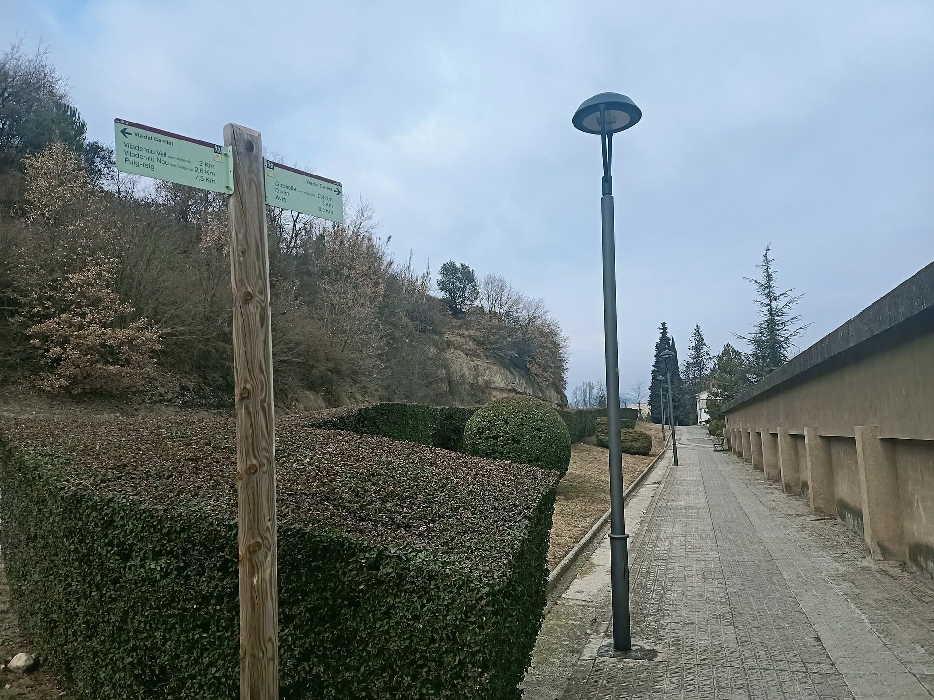
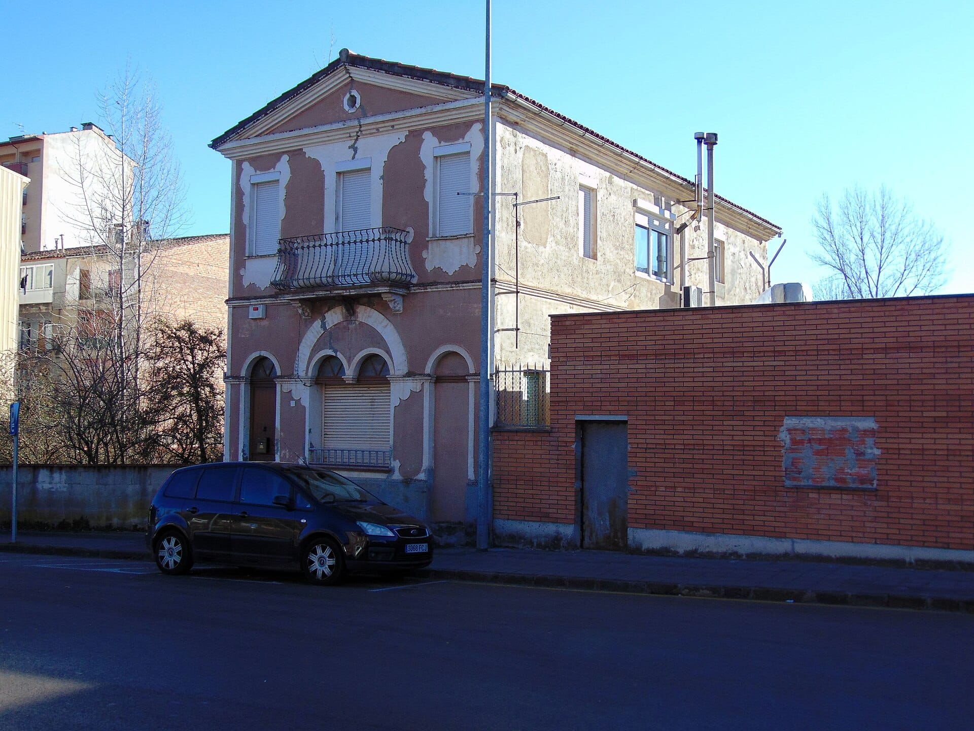 Waypoint · Salida: Olot
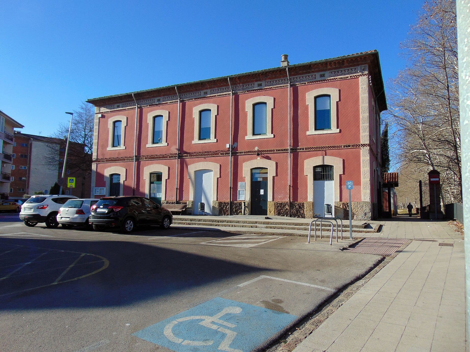 Waypoint · Salida: Olot
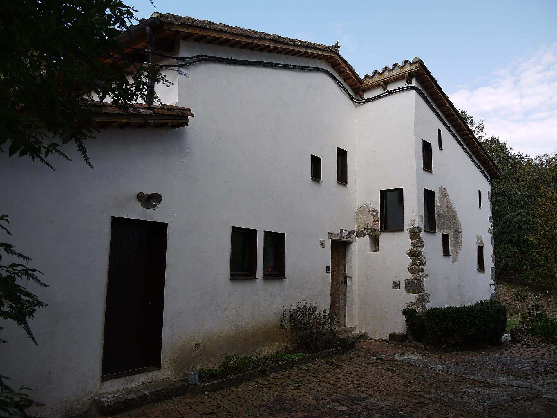 Waypoint · Sant Miquel de Pineda
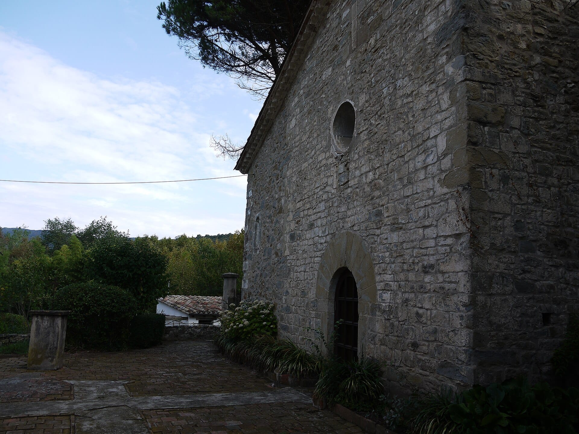 Waypoint · Sant Miquel de Pineda
+9View gallery