

 Hiking
Distance10 km
Duration5h 05m
Elevation↑955 mMin. 1591 m · Max. 2528 m
DifficultyHard
TypeCircular
ProfileElevation
01About the route
High-mountain circular route from the Ulldeter parking area, following the GR11 to the refuge, the ruins of the old refuge and the source of the Ter, to go around the Gra de Fajol (2,714 m) via the coll de la Marrana.
The official listing repeats the text of the Circ d'Ulldeter: check the track.
Photos: Jordiipa (CC BY-SA 3.0), Jorge Franganillo (CC BY 3.0), EliziR (CC BY-SA 3.0), Jordiipa (CC BY-SA 4.0), Alan Mattingly (CC0 / public domain).
Published on 23 October 2026
02Gallery · 9 photos
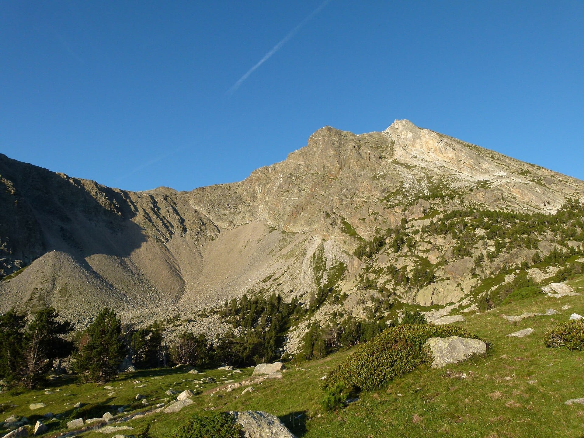
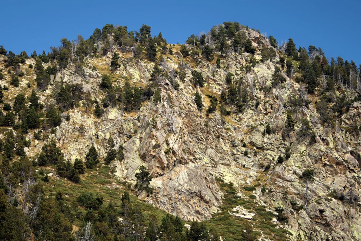 Waypoint · Refugi d'Ulldeter
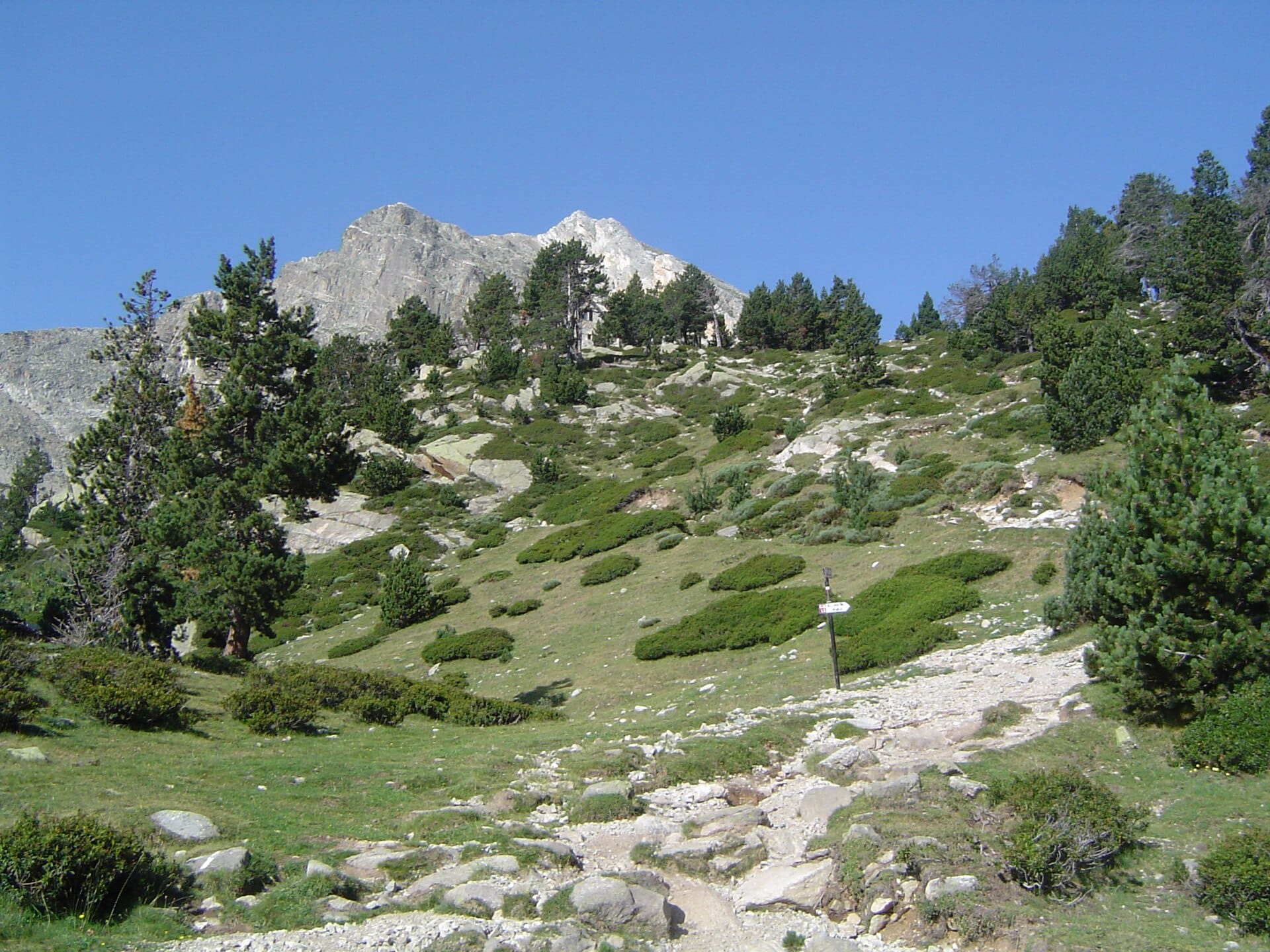 Waypoint · Refugi d'Ulldeter
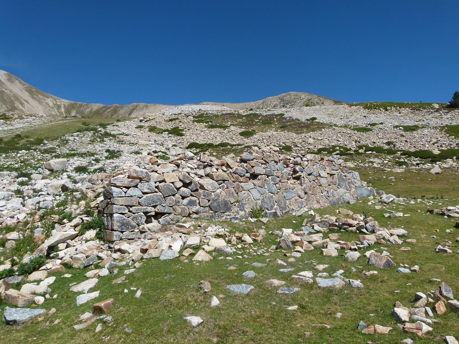 Waypoint · Ruïnes de l'antic refugi d'Ulldeter
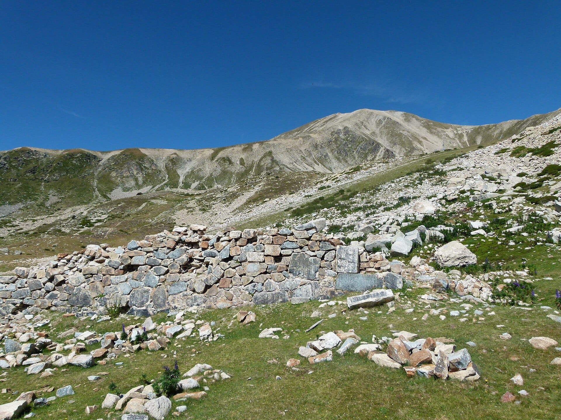 Waypoint · Ruïnes de l'antic refugi d'Ulldeter
+4View gallery