

 Gravel
Distance58 km
Duration3h 30m
Elevation↑521 mMin. 1025 m · Max. 1230 m
DifficultyModerate
TypeCircular
ProfileElevation
01About the route
Rolling gravel ride along rural paths and secondary roads across the plain, following sections of the Camí de Sant Jaume and the Camí del Segre.
It passes through Llívia, Puigcerdà, Bolvir, Talló, Baltarga and the lago de Oseja.
Photos: Medol (CC BY-SA 4.0), MarisaLR (CC BY-SA 3.0), Pere López (CC BY-SA 4.0), Carlos Pino Andújar (CC BY-SA 4.0), Jordi Gili (CC BY-SA 4.0), Martinge636 (CC BY-SA 4.0).
Published on 23 October 2026
02Gallery · 14 photos
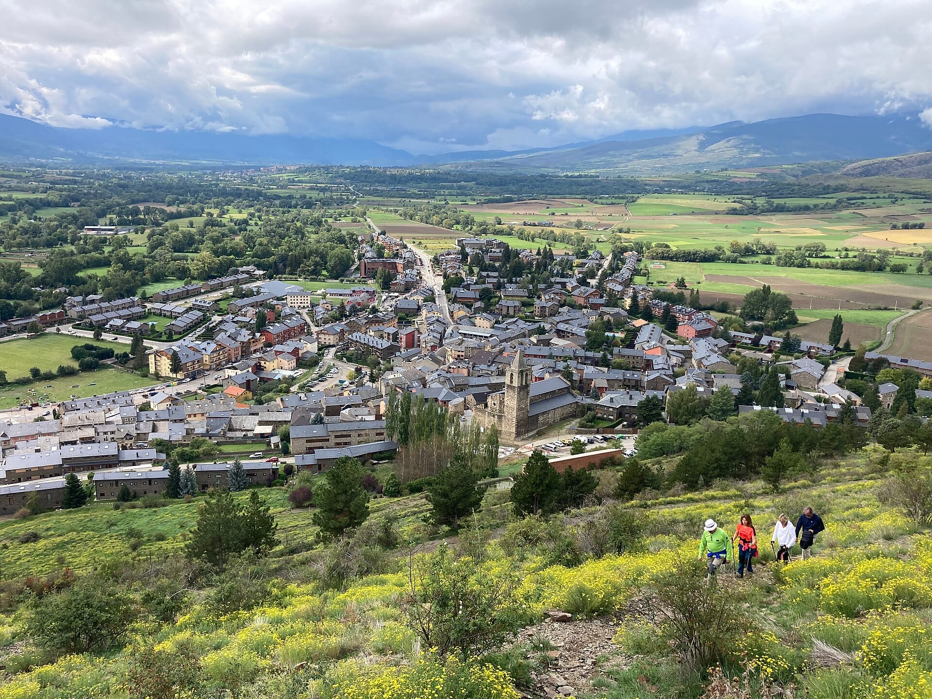
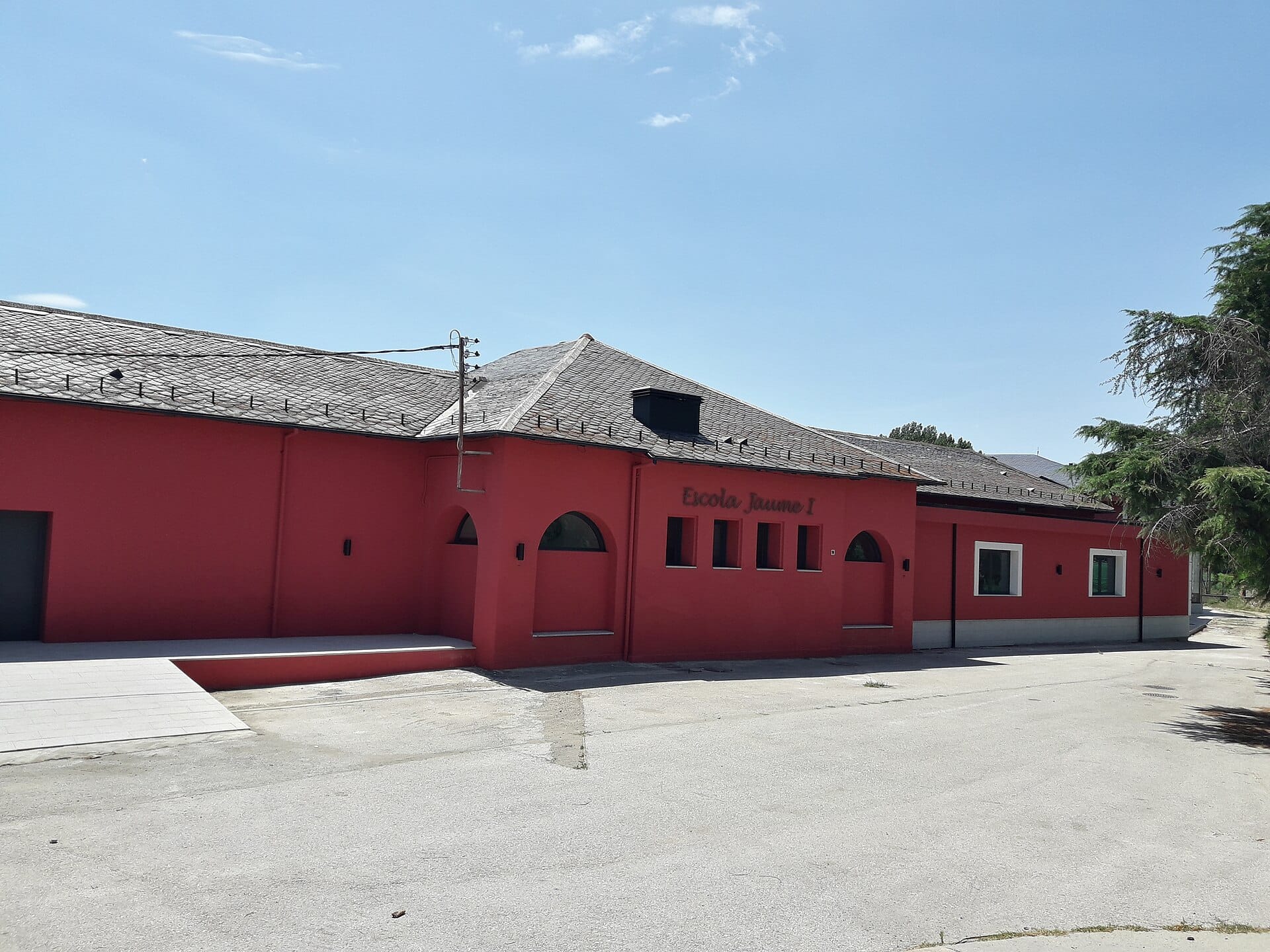 Waypoint · Llívia
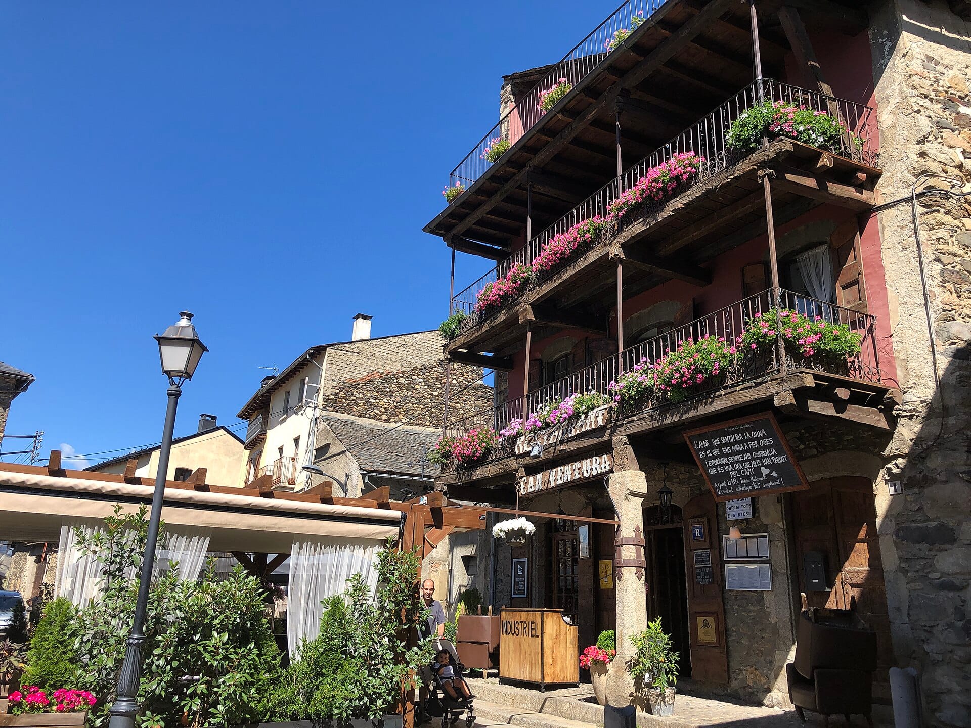 Waypoint · Llívia
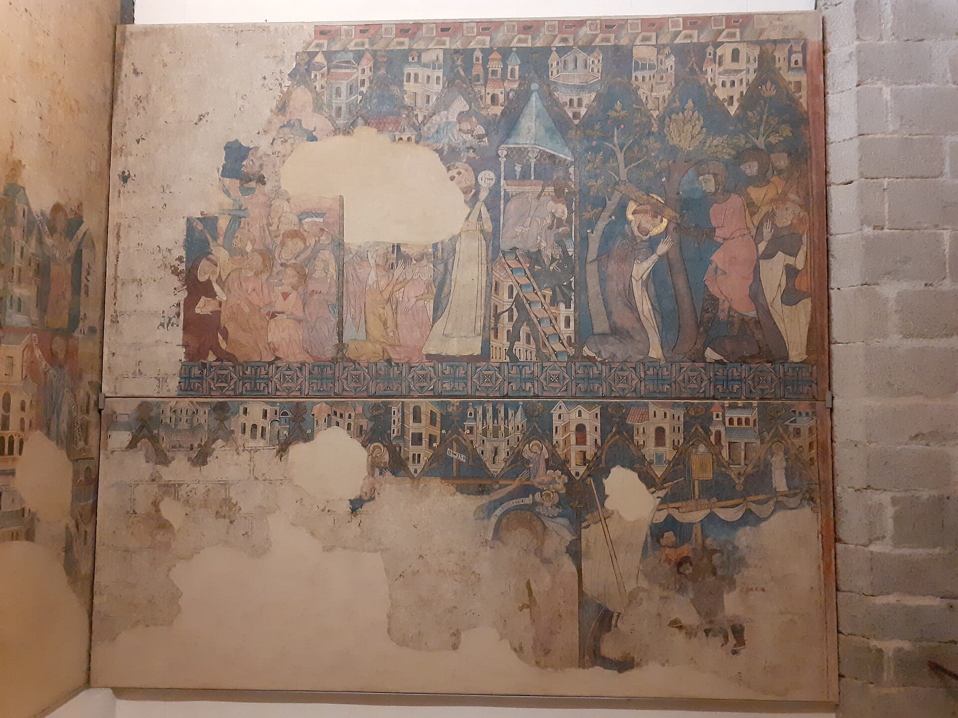 Waypoint · Puigcerdà
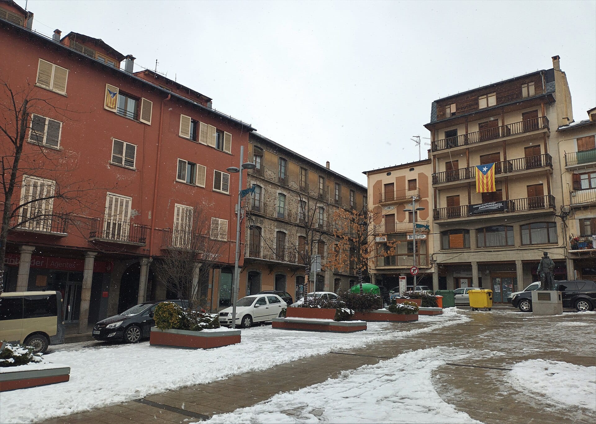 Waypoint · Puigcerdà
+9View gallery