
AccessEasy
TypeHistorical Sites
Coords42.2781° N2.9527° E
01About the place
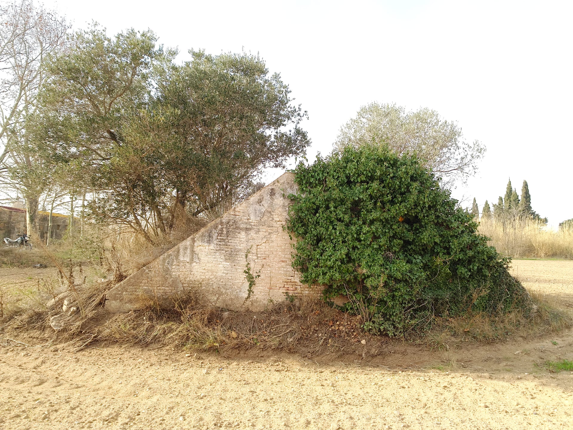
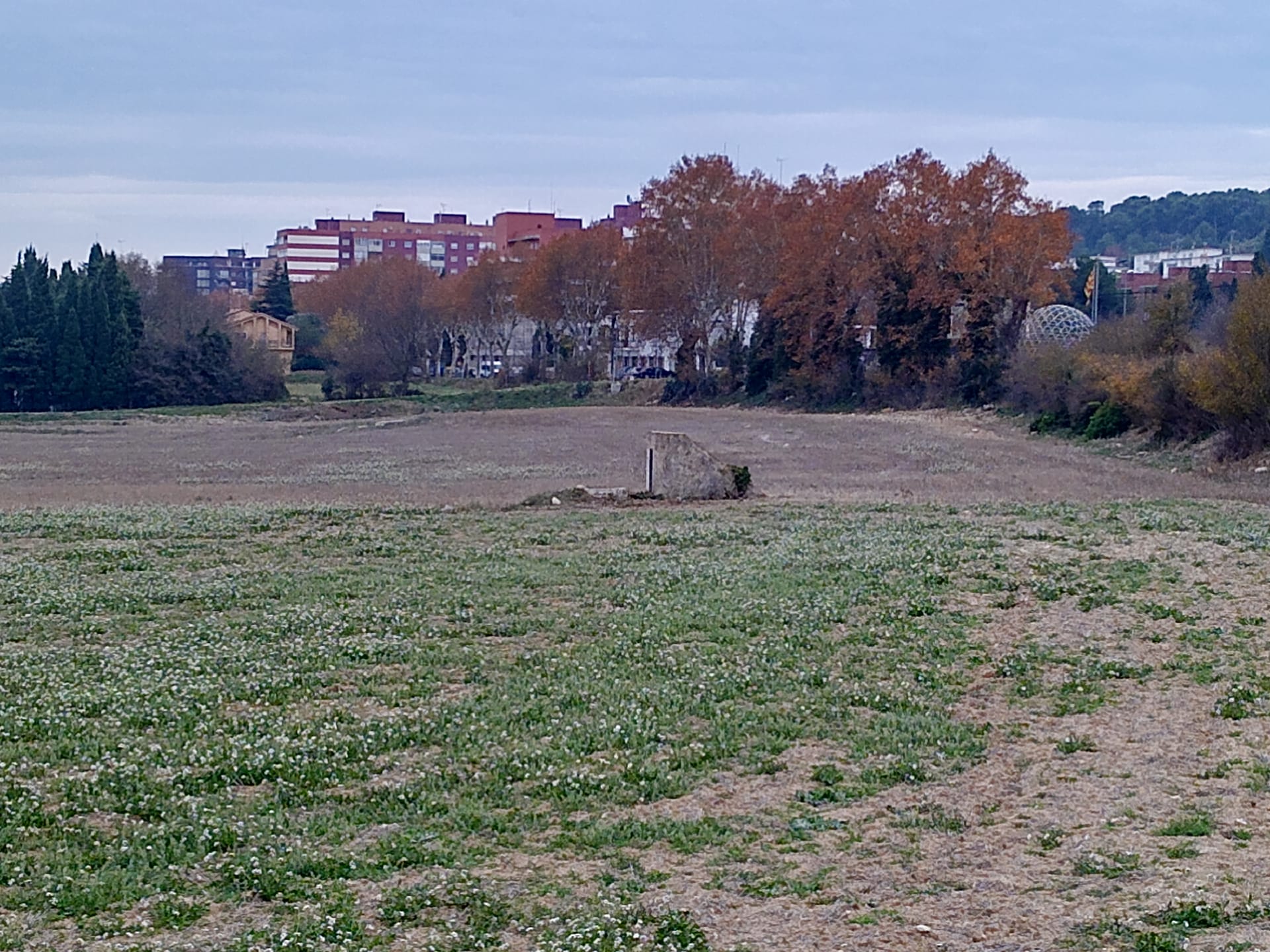
Civil War mine shelter north of Figueres, near Perpinyà Avenue, which the original map links to the Republican airfield of Figueres, Vilabertran, and Cabanes.
There were three Republican airfields in the area (Figueres, Cabanes, and Garriguella); we have not found a published record of this shelter.