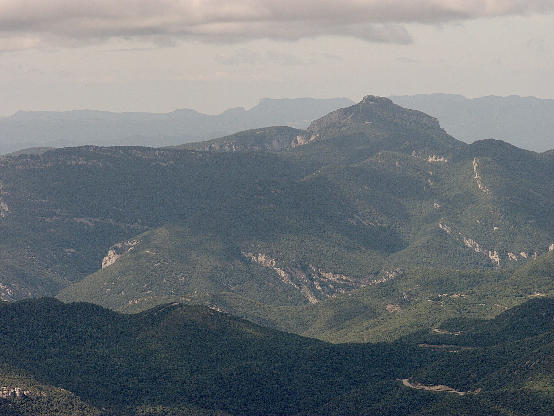

TypeNatural SpringsPicnic Area · Shelters · Hermitages · Historical Sites
Coords42.3169° N2.5874° E
01
Practical information
Directions
Checked against 7 official sources on October 20, 2026
- Reserva prèvia aparcament (Sadernes i Pont del Llierca) · Consorci de l'Alta Garrotxa
- Informació bàsica i tarifes del refugi · Refugi de Sant Aniol
- El refugi de Sant Aniol ja compta amb una web per fer reserves (12 de gener de 2026) · Consorci de l'Alta Garrotxa
- Sant Aniol d'Aguja: Sadernes, Pont d'en Valentí, Resclosa del Gomarell, Sant Aniol d'Aguja (itinerari 1) · Consorci de l'Alta Garrotxa
- Normes i recomanacions · Consorci de l'Alta Garrotxa
- Bones pràctiques: Sector de Sadernes i la Vall de Sant Aniol · Consorci de l'Alta Garrotxa
- Geocodificador de l'ICGC: topònims a les coordenades de la fitxa · Institut Cartogràfic i Geològic de Catalunya (ICGC)
Keep your booking QR at hand. Save this place and download the area map in the app before you go.
02
What Taymer44 says
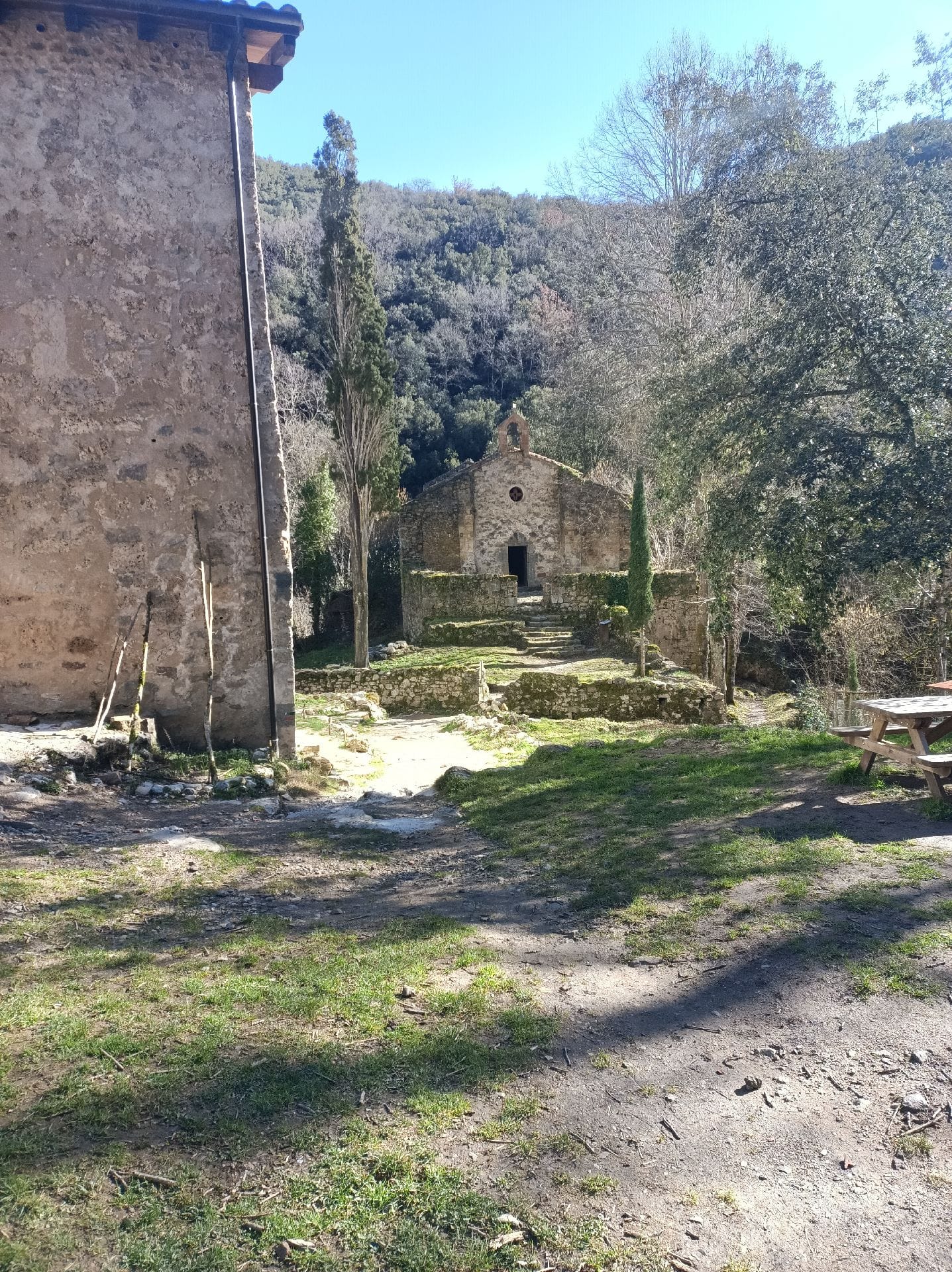
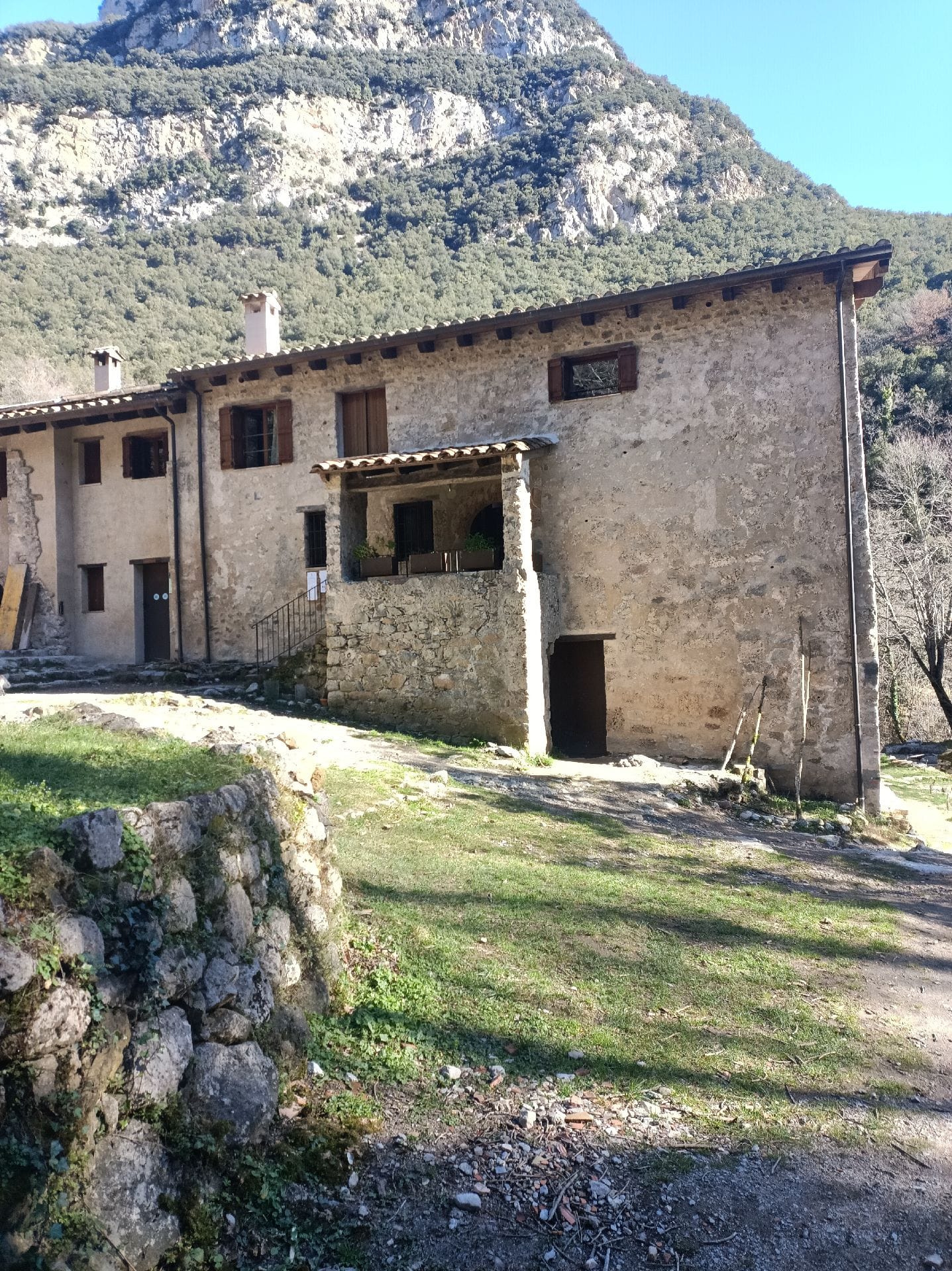
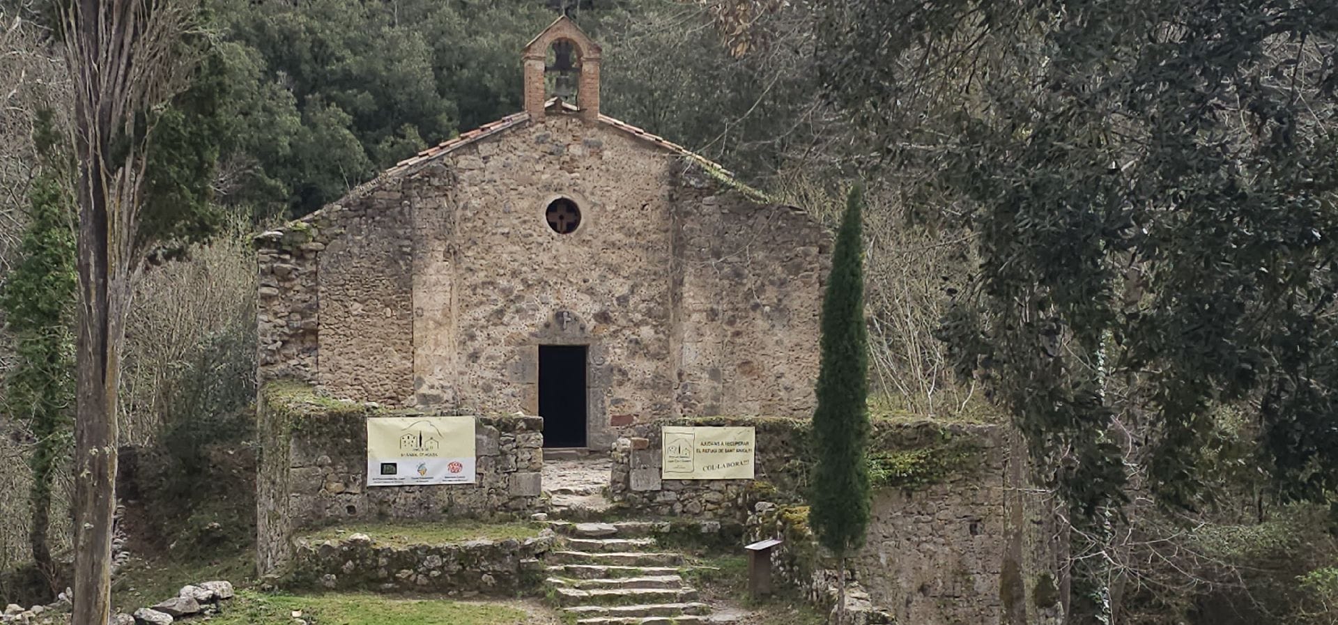
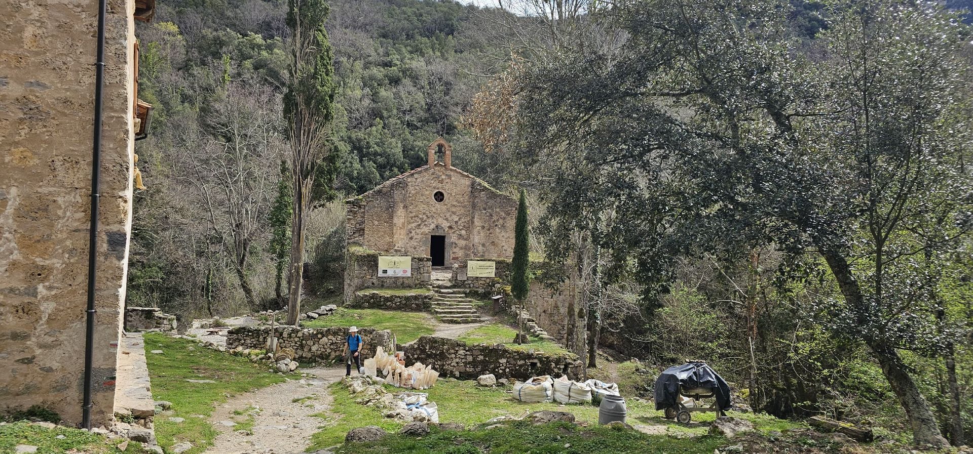
Hermitage from the year 859 in the heart of the protected natural space of the upper Garrotxa, next to the hermitage there is a shelter to rest or have something to eat.
03Gallery · 6 photos
+1View gallery