
AccessTrack
TypeViewpointsPools & Rivers · Historical Sites
Coords42.0584° N3.0033° E
01About the place
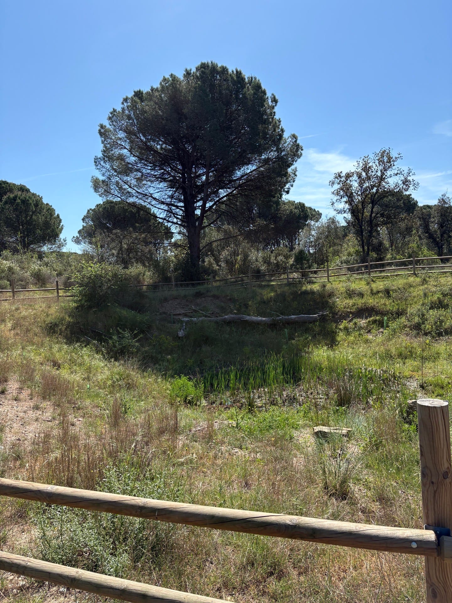
Avall Island is a sedimentation area of sand and gravel from the Ter River, with an area of 25 ha., It has a flat topography, with a maximum difference in elevation of 5 meters, which increases from the river bank towards the interior of the island.
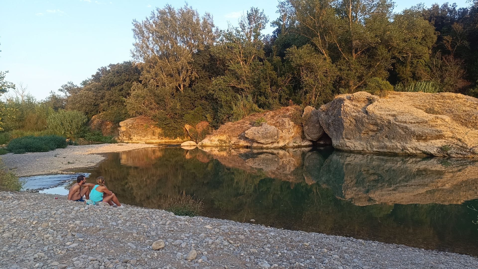
The riverbeds and banks constitute an ecosystem of exceptional interest, in which a specific flora and fauna settles. On the other hand, and as a biological corridor, it connects wider natural spaces and along them numerous species of vertebrate fauna move.
02Gallery · 2 photos