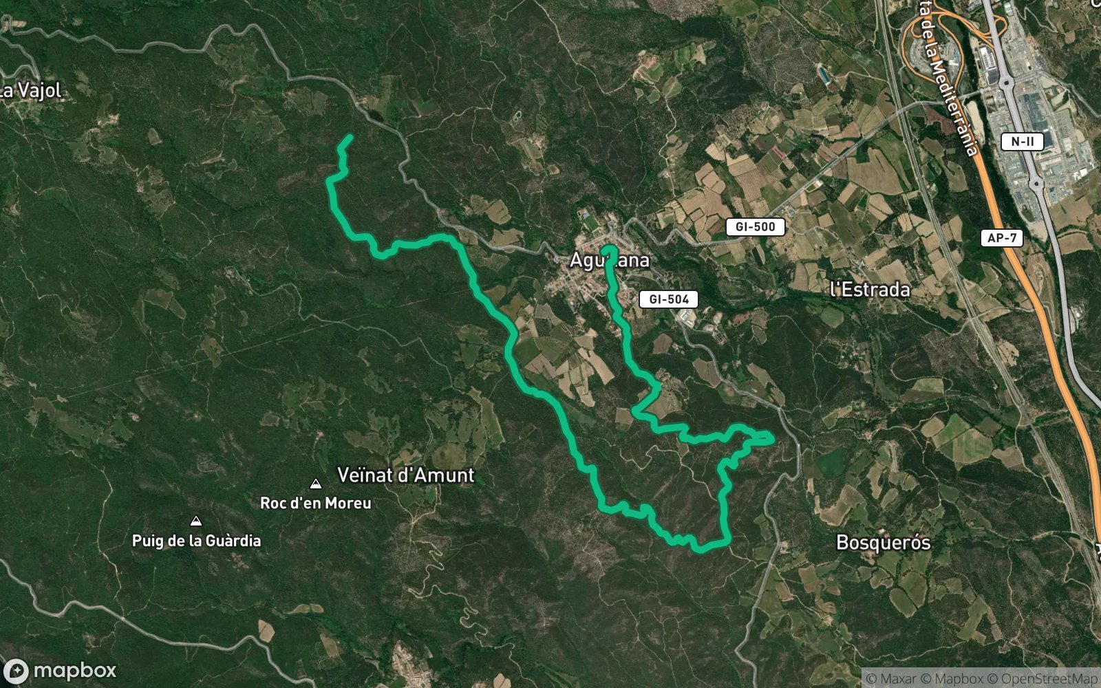

AccessTrack
TypeDolmens & Menhirs
Coords42.3938° N2.9111° E
01About the place
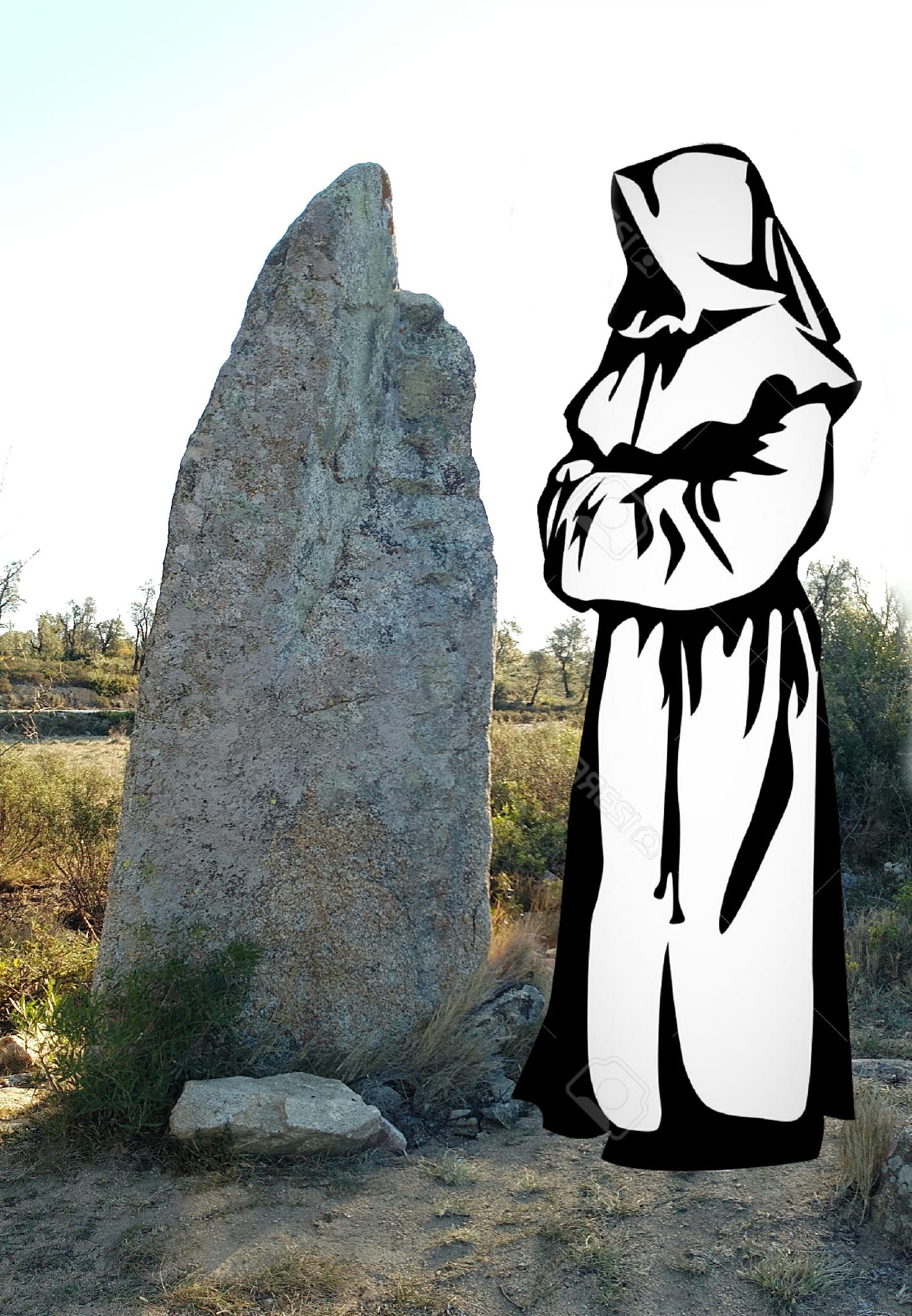
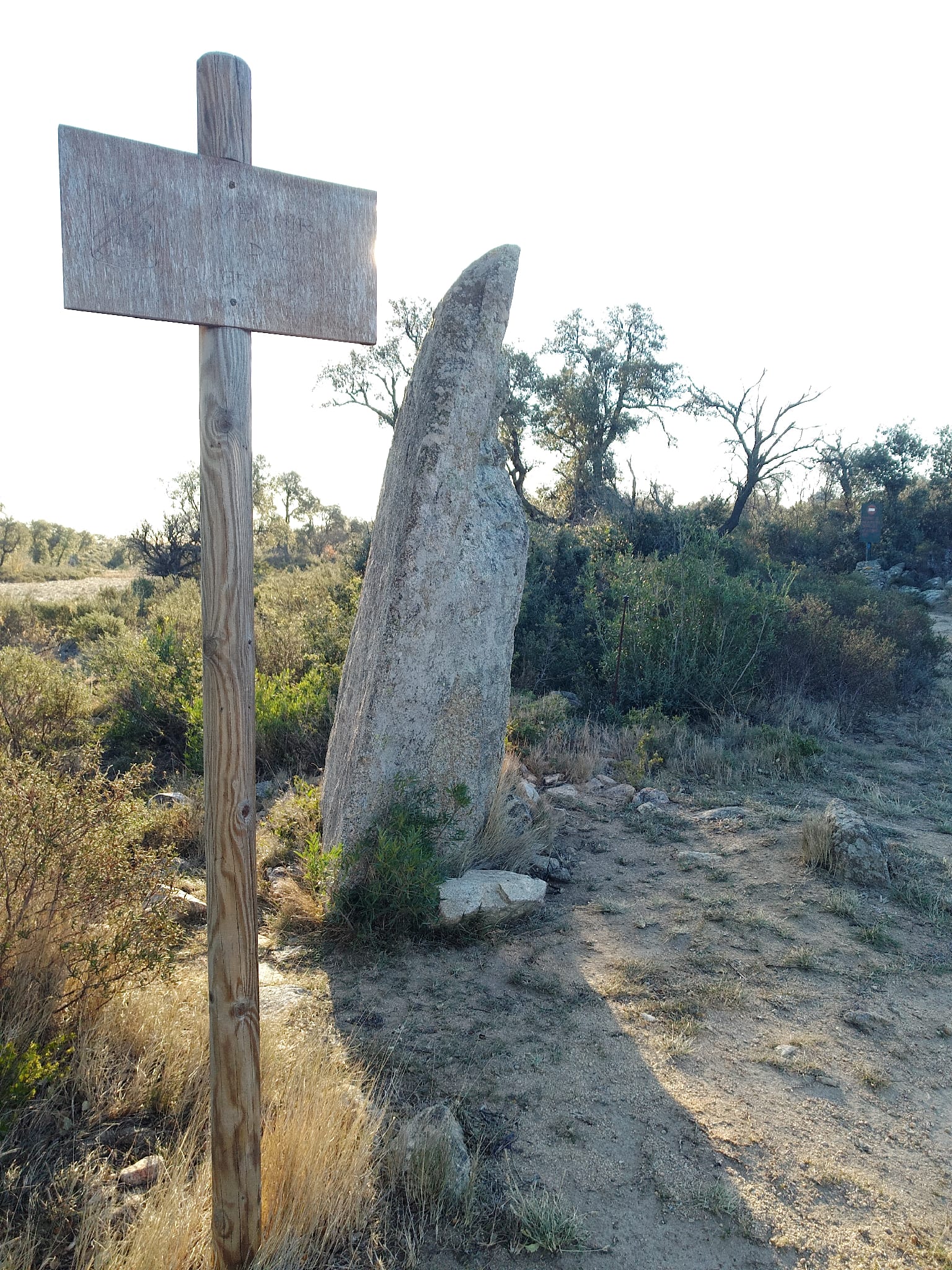
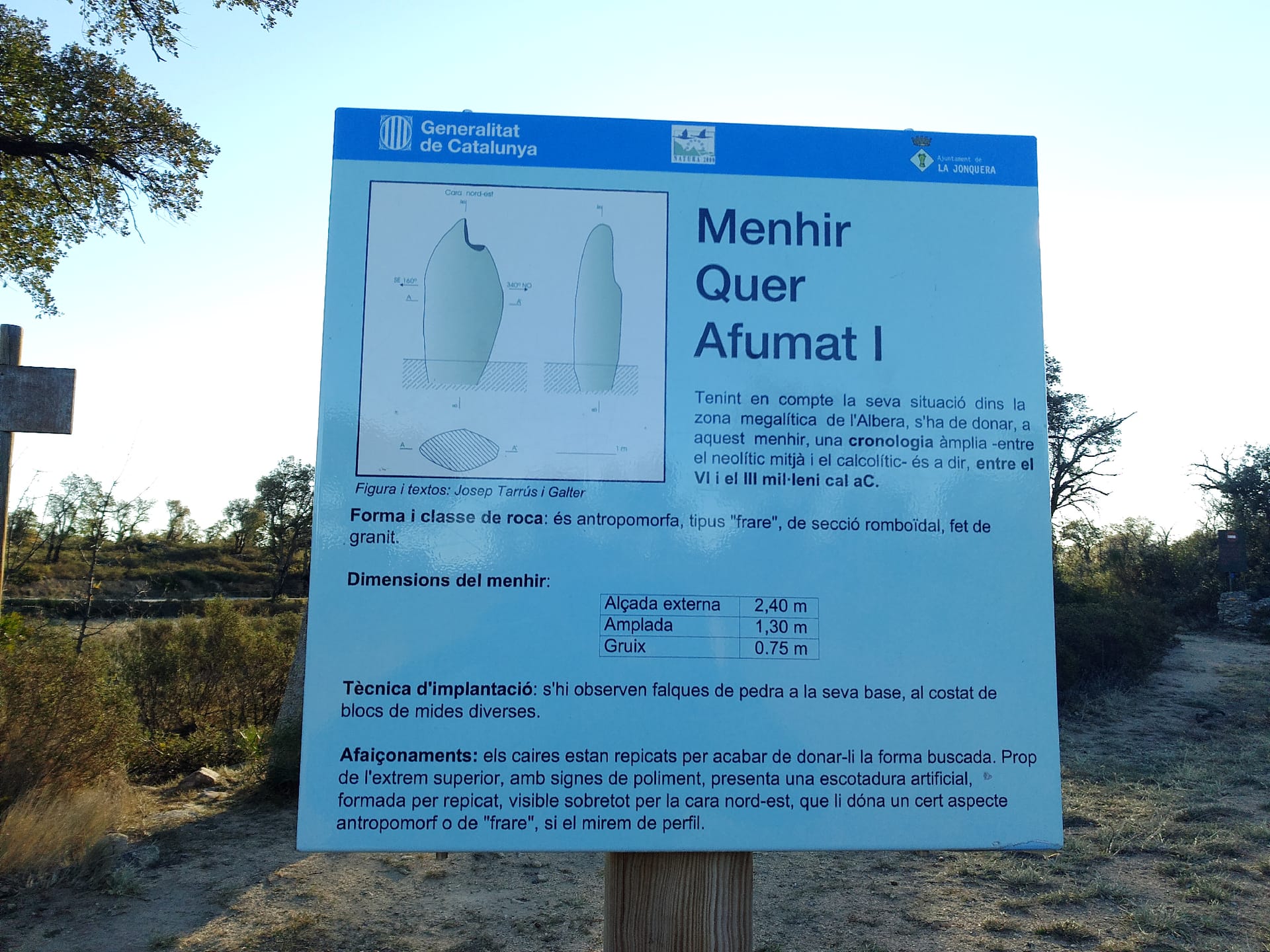
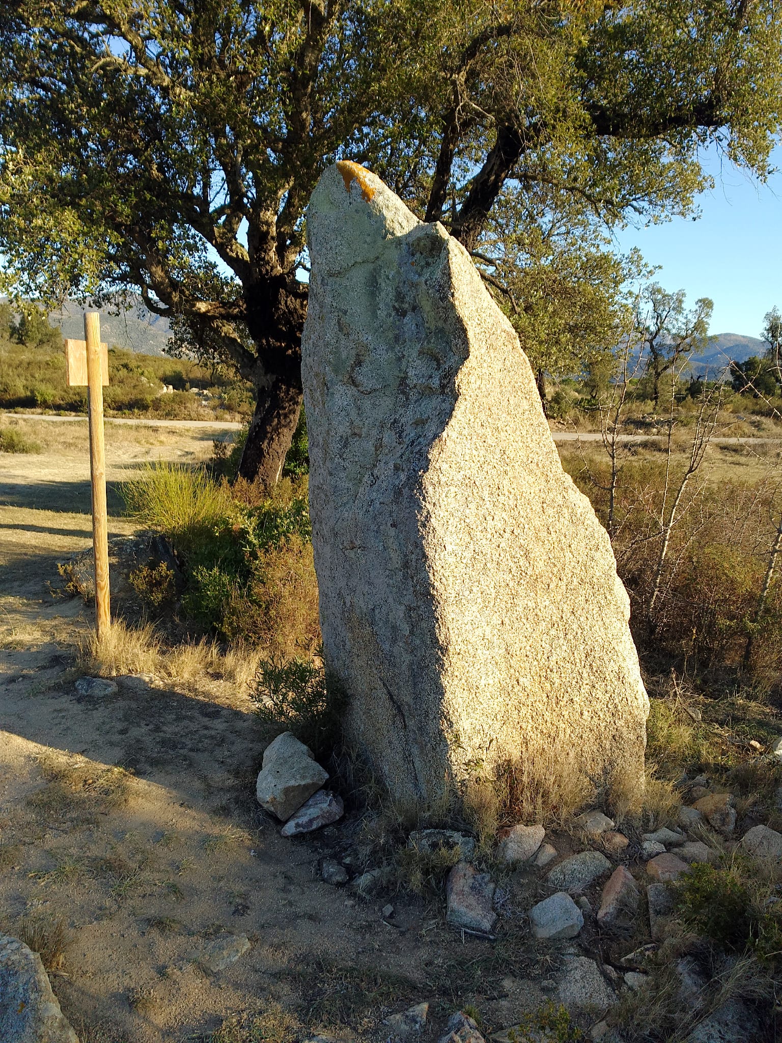
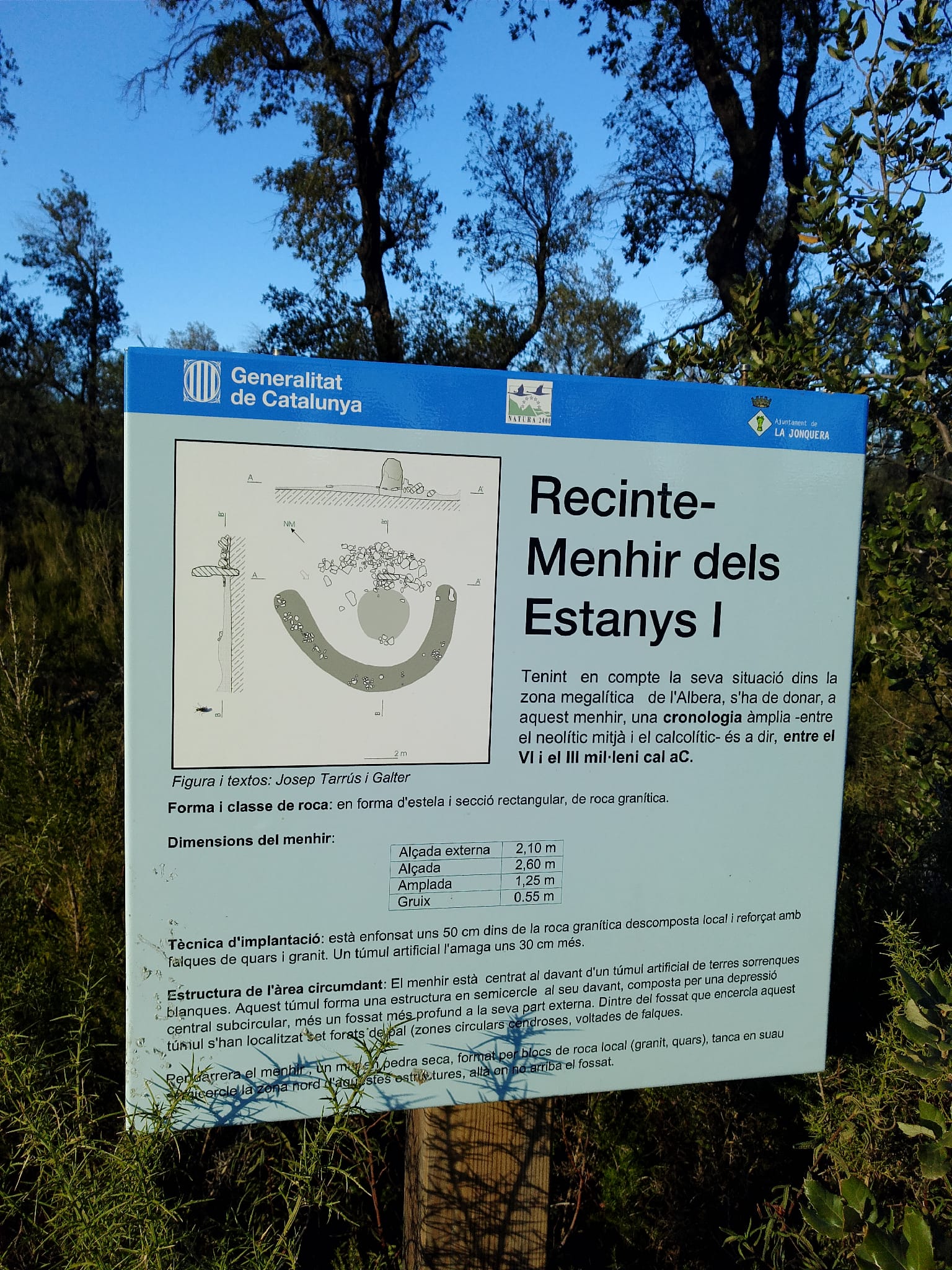
Granite menhir of the "frare" type, with an anthropomorphic silhouette, in cereal fields north of Capmany, next to the Estanys path.
It measures 2.4 meters high; it may be the "Petra Ficta" mentioned in a document from 1316, although it was not published until 1978. It is attributed to the period between the Late Neolithic and the Chalcolithic.
02Gallery · 4 photos