
AccessTrail
TypeSummit
Coords42.3897° N2.6514° E
01About the place
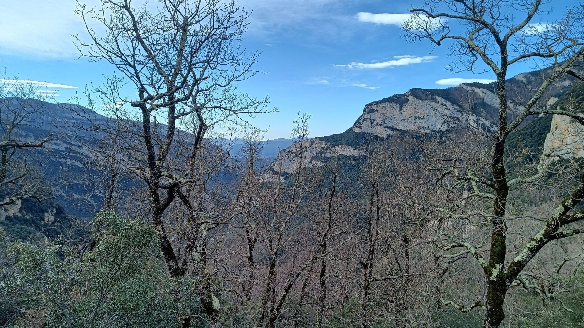
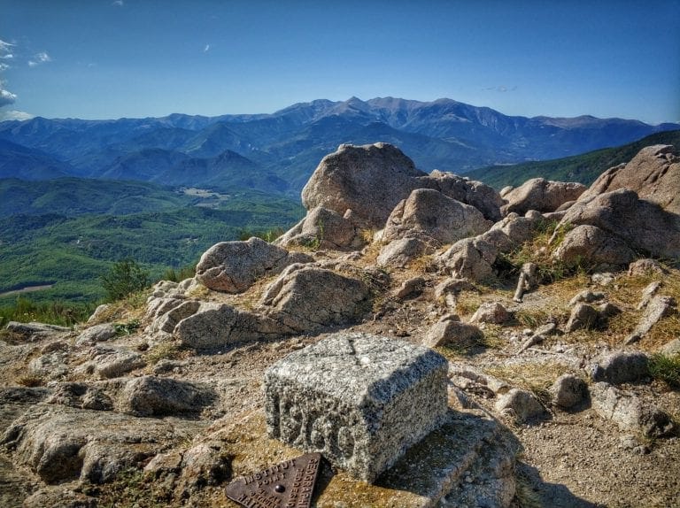
Summit of the border ridge between Vallespir and Alt Empordà, within the municipality of Sant Llorenç de Cerdans and on the border with Maçanet de Cabrenys.
It measures 1,192.9 m and contains border markers 546 and 547; the line of boundary markers continues eastward along the ridge towards Moixer.