
AccessRough track
TypePools & Rivers
Coords42.3500° N2.5916° E
01
Practical information
Directions
Checked against 5 official sources on October 20, 2026
- Pla de protecció del medi natural i del paisatge de l'Alta Garrotxa. Memòria (apartat 3.2.6, p. 25) · Departament de Territori i Sostenibilitat (Generalitat de Catalunya)
- Regulacions d'activitats de lleure a l'Alta Garrotxa · Consorci de l'Alta Garrotxa
- 3. El riu La Muga · Ajuntament de Castelló d'Empúries
- Reserva Natural Fluvial Cabecera de la Muga · Ministerio para la Transición Ecológica y el Reto Demográfico (MITECO)
- Geocodificador invers: topònims al voltant del punt de la fitxa · Institut Cartogràfic i Geològic de Catalunya (ICGC)
02
What Lede says
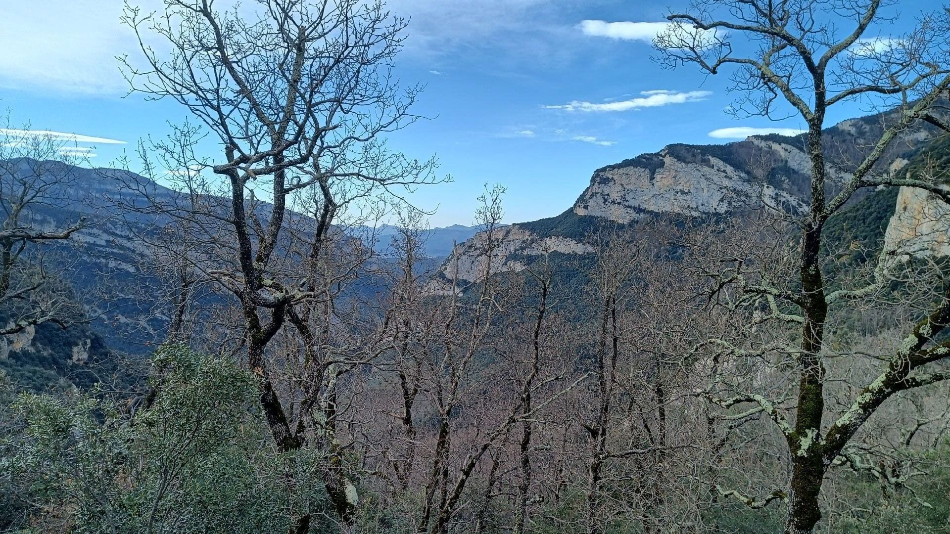
One of the first spots where you can see the Muga River originate.
The water emerges from among the vegetation and stones, still with little force, but already marking the river's beginning. It's a peaceful place, with hardly any people, perfect for pausing for a moment and enjoying the surroundings as they are.
03Gallery · 2 photos